Cameo Cliffs (to Wilson Arch, El Diablo) - Moab, UT
Directions: From Moab, head south on U.S. Highway 191 for approximately 22 miles. Turn east at the sign for “OHV Trailhead.” The trailhead is located about 1 mile from U.S. Highway 191 on a paved road.
Coordinates: Approximately 38.18927°N, 109.35828°W
Parking: Available at the trailhead

One of my favorites! There are some fun loop trails here that have a harder skill level and that is where most of my pictures are from. If you scroll to the bottom, I have an image gallery from the trail. There are a lot of fun sandy sections and some fun ledges.
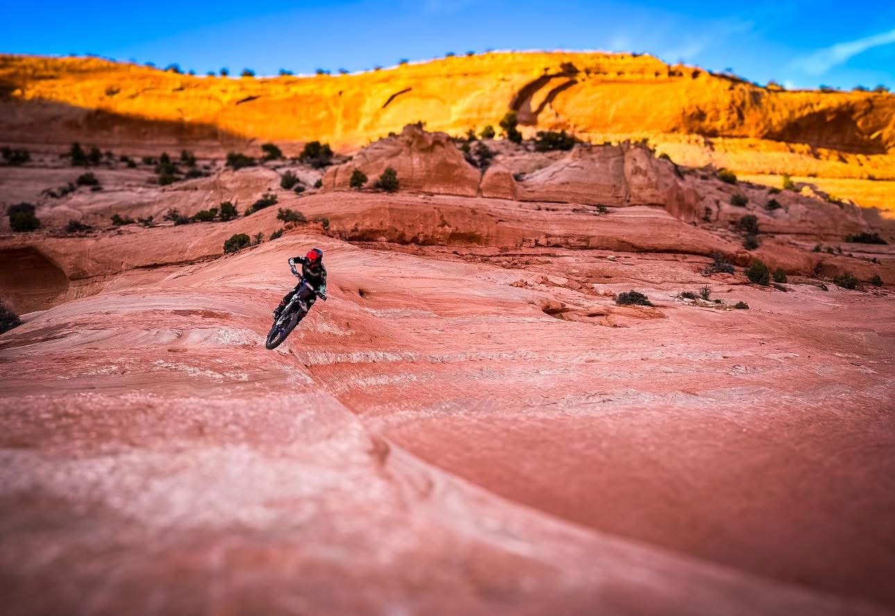
Cameo Cliffs to Wilson Arch
Length: Approximately 18.4 miles
Difficulty: Difficult (acc. to Google and trail signs), I would rate this trail moderate.
Highlights:
Trail follows cliff edges with expansive views
Ends at a dramatic overlook of Wilson Arch
Features ledges that have become more challenging over time
Marked with numbered brown posts; slickrock sections marked with white dashes and red-tipped rebar
El Diablo Trail
Length: Approximately 14.2 miles
Difficulty: Difficult (again, acc, to Google and trail signs), I would rate this trail moderate
Highlights:
Features a steep slickrock climb known as “El Diablo”
Challenging terrain suitable for experienced drivers
Offers scenic views of the surrounding area

Some fun waterfalls.


