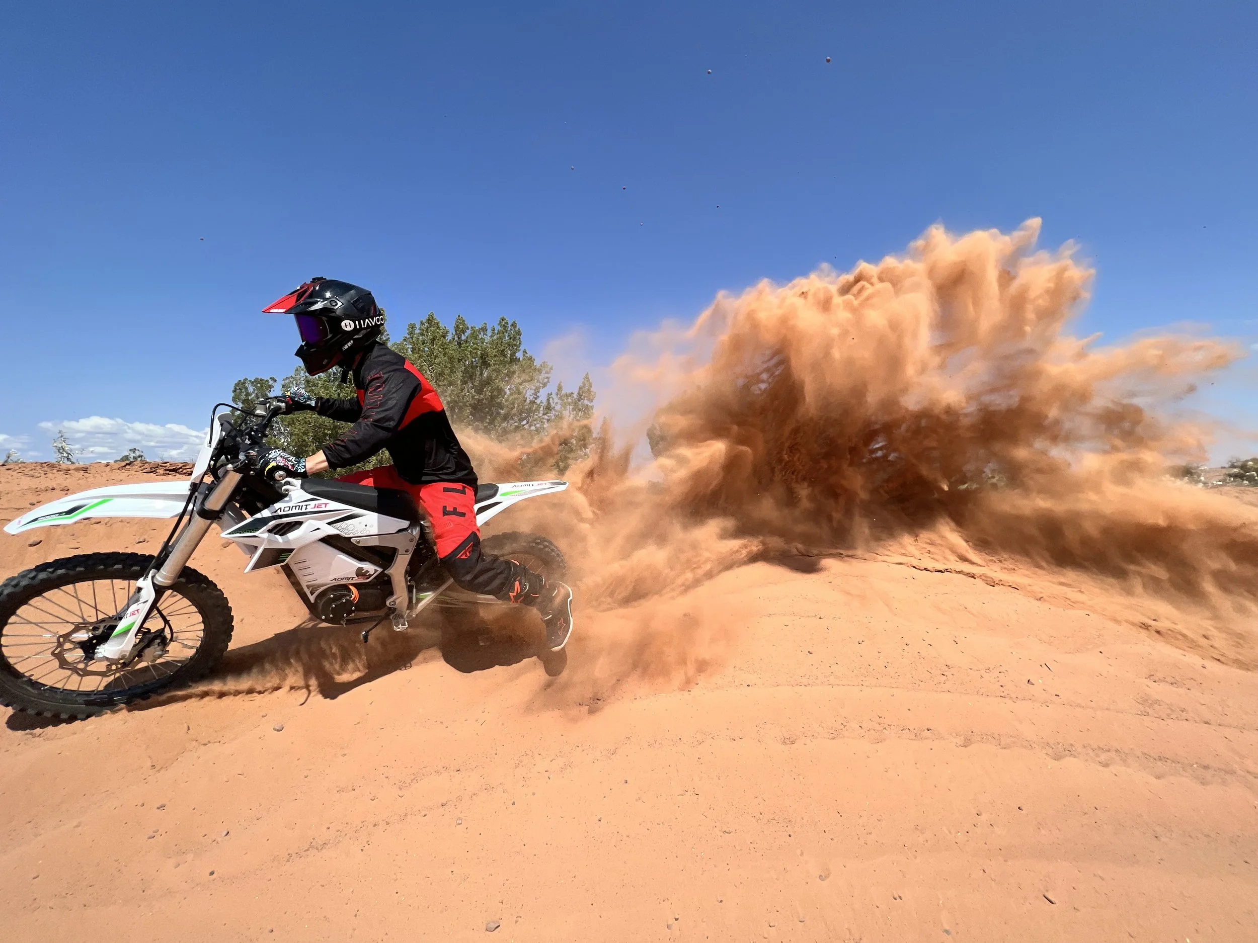
Seven Mile Rim - Moab, UT
Trail Overview
Location: Approximately 11 miles north of Moab, Utah
Trail Length: ~20-mile loop
Difficulty Rating: Moderate to Difficult
Best Seasons: Spring and Fall
Activities Permitted: 4x4 vehicles, dirt bikes, mountain biking, hiking
Trailhead & Access
Starting Point: From Moab, head north on U.S. Highway 191 for approximately 11 miles. Just past the intersection with Utah Highway 313, turn left onto Cotter Mine Road.
Coordinates: Approximately 38.7002°N, 109.7098°W
Access Road: Cotter Mine Road
Entry Fee: None
GPS Waypoints (Approximate)
Trailhead: 38.7002°N, 109.7098°W
Uranium Arch: 38.7005°N, 109.7450°W
Monitor and Merrimac Buttes: 38.6940°N, 109.7500°W
Determination Towers: 38.7000°N, 109.7600°W
Tusher Tunnel: 38.7100°N, 109.7700°W


Notable Trail Features
Uranium Arch: A natural sandstone arch accessible via a short spur trail; a popular spot for photos and a quick hike.
Monitor and Merrimac Buttes: Distinctive rock formations named after Civil War ironclads; the trail passes between them, offering impressive views.
Determination Towers: Tall sandstone spires that provide a scenic backdrop and opportunities for exploration.
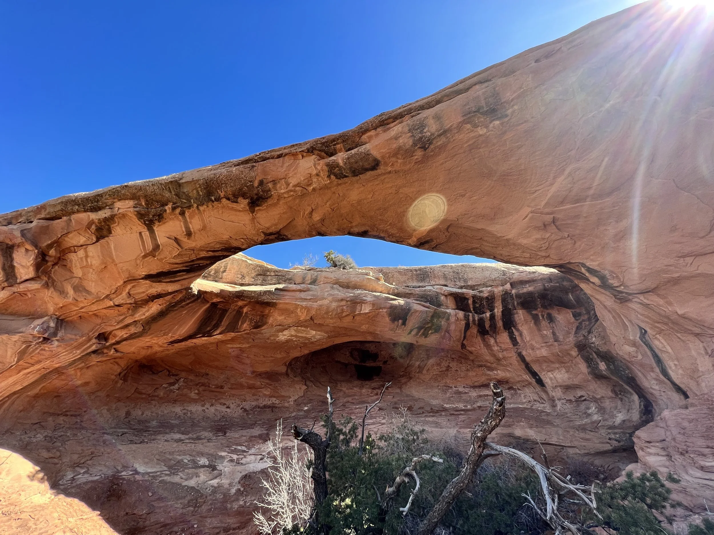
There are scenic cliffs and overlooks all along the trail. Also some nice arches!
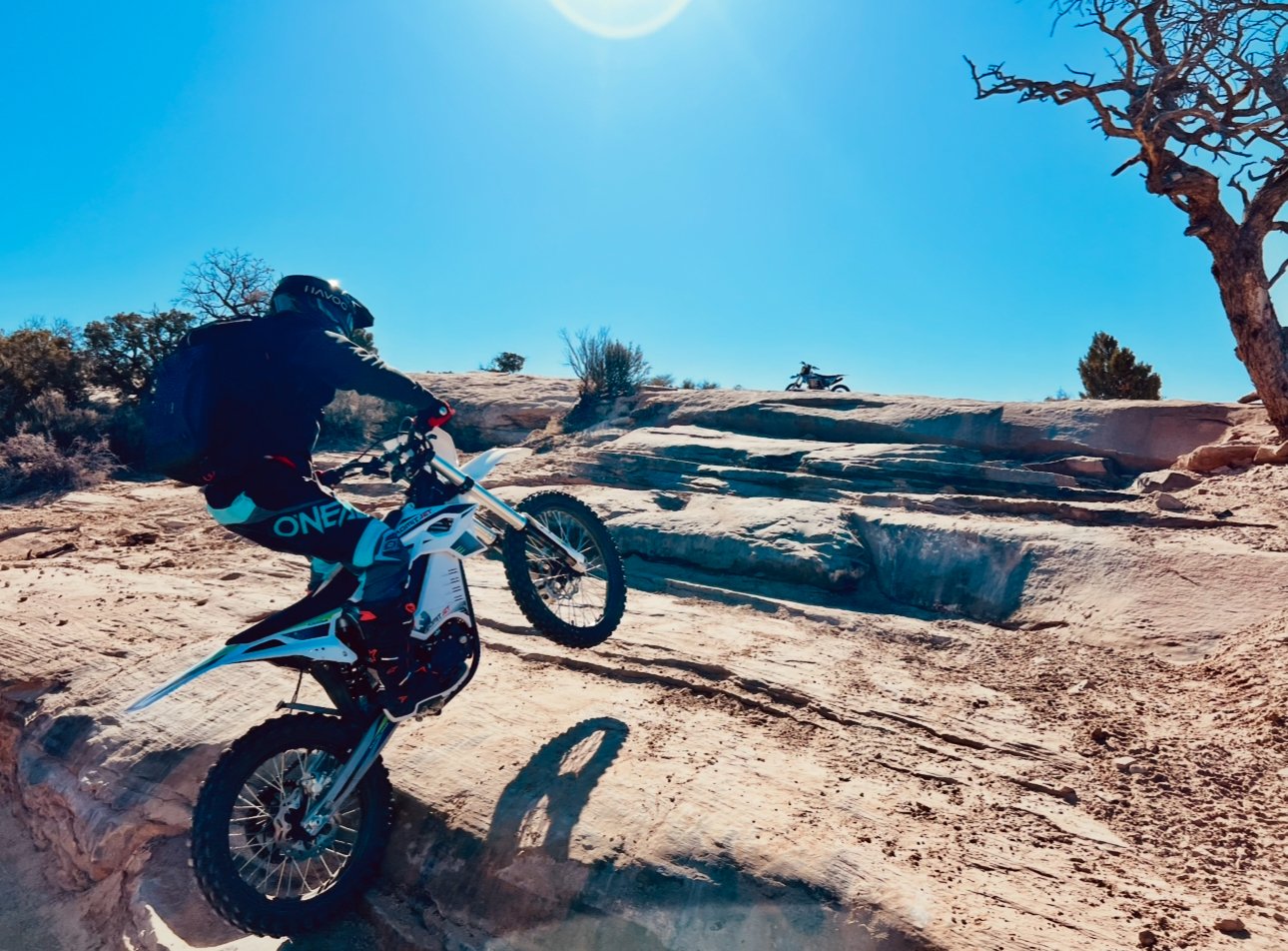
There are fun waterfall/step-ups on the trail. This was Jonathan’s first electric bike after he sold his TE 300i. The Admit Jet. 0/10. Would not recommend. He would hit a bump and the throttle/power would completely cut out, haha. Fine on super smooth trails. Not fine here.