Rosey Lane in Almont, CO
Rosey Lane Campground Trip Report: Camping and Dirt Biking Near Almont, Colorado
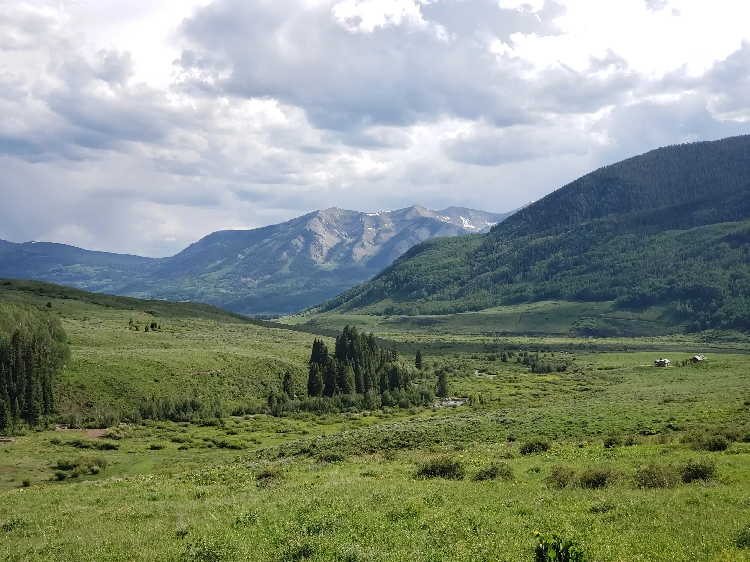
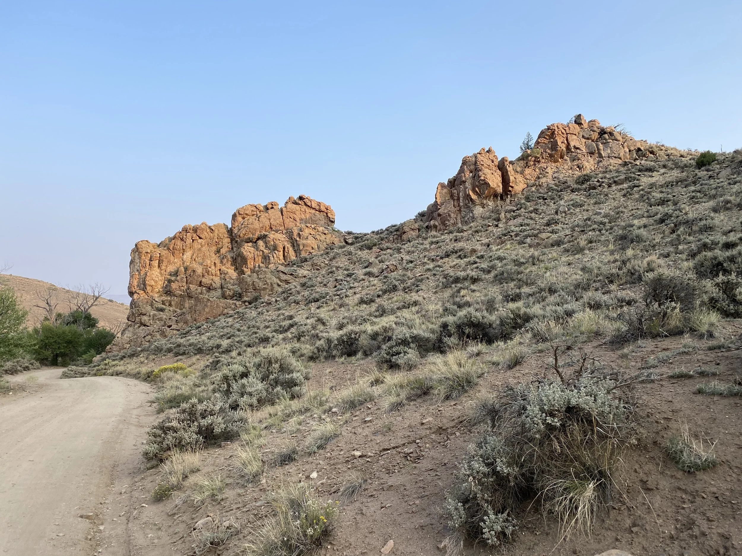
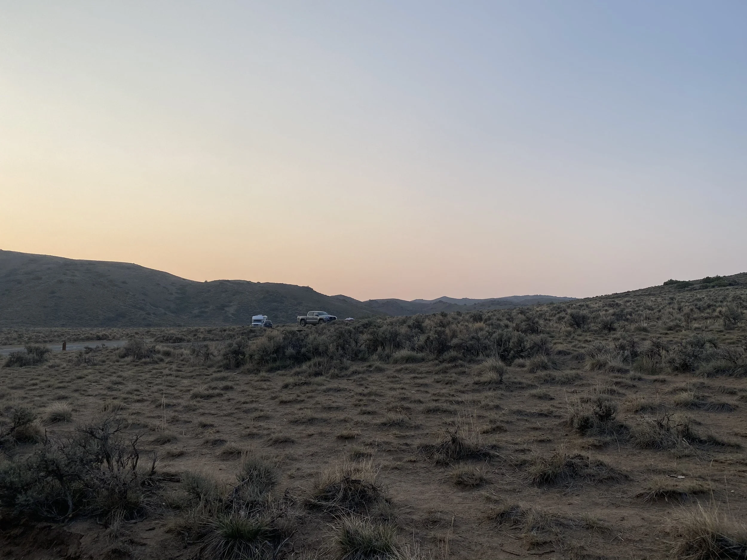
Rosey Lane Campground near Almont, Colorado, served as our base camp for exploring Taylor Canyon, Crested Butte, Taylor Park, and the surrounding Gunnison Valley.
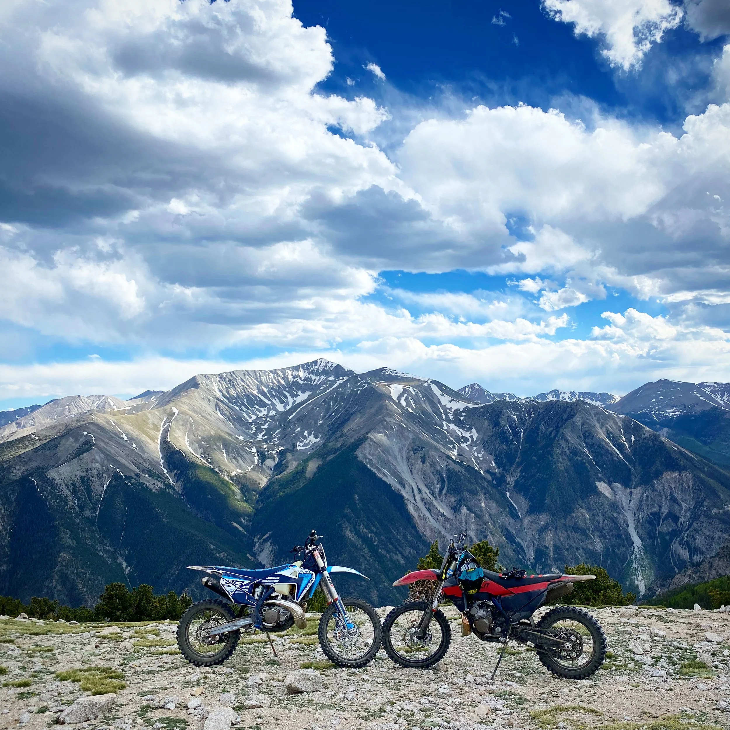
We traveled here after camping in Moab, trading red-rock desert and dust for paved campsites, cold mountain water, forests, and high-elevation riding. During our stay, we camped beside the Taylor River, rode dirt bikes near Crested Butte, explored Pearl Pass, found additional motorcycle single-track closer to Almont, and used the area as a jumping-off point for several nearby mountain towns.
Rosey Lane was scenic, clean, affordable, and conveniently located. However, despite being described on some campground websites as big-rig friendly, navigating it with our 45-foot fifth wheel was difficult.
Trip Overview
Destination: Rosey Lane Campground
Location: Taylor Canyon near Almont, Colorado
Previous destination: Moab, Utah
Camping style: Dry camping
Nightly fee: $28 before taxes
Approximate total: $30 per night
Site type: Creekside pull-through
Other sites: Back-in sites available
Site surface: Concrete
Campground roads: Asphalt
Electrical hookups: No
Water hookups: No
Sewer hookups: No
Dump station: No
Restrooms: Vault toilets
Fire rings: Yes
Firewood: Available, but expensive
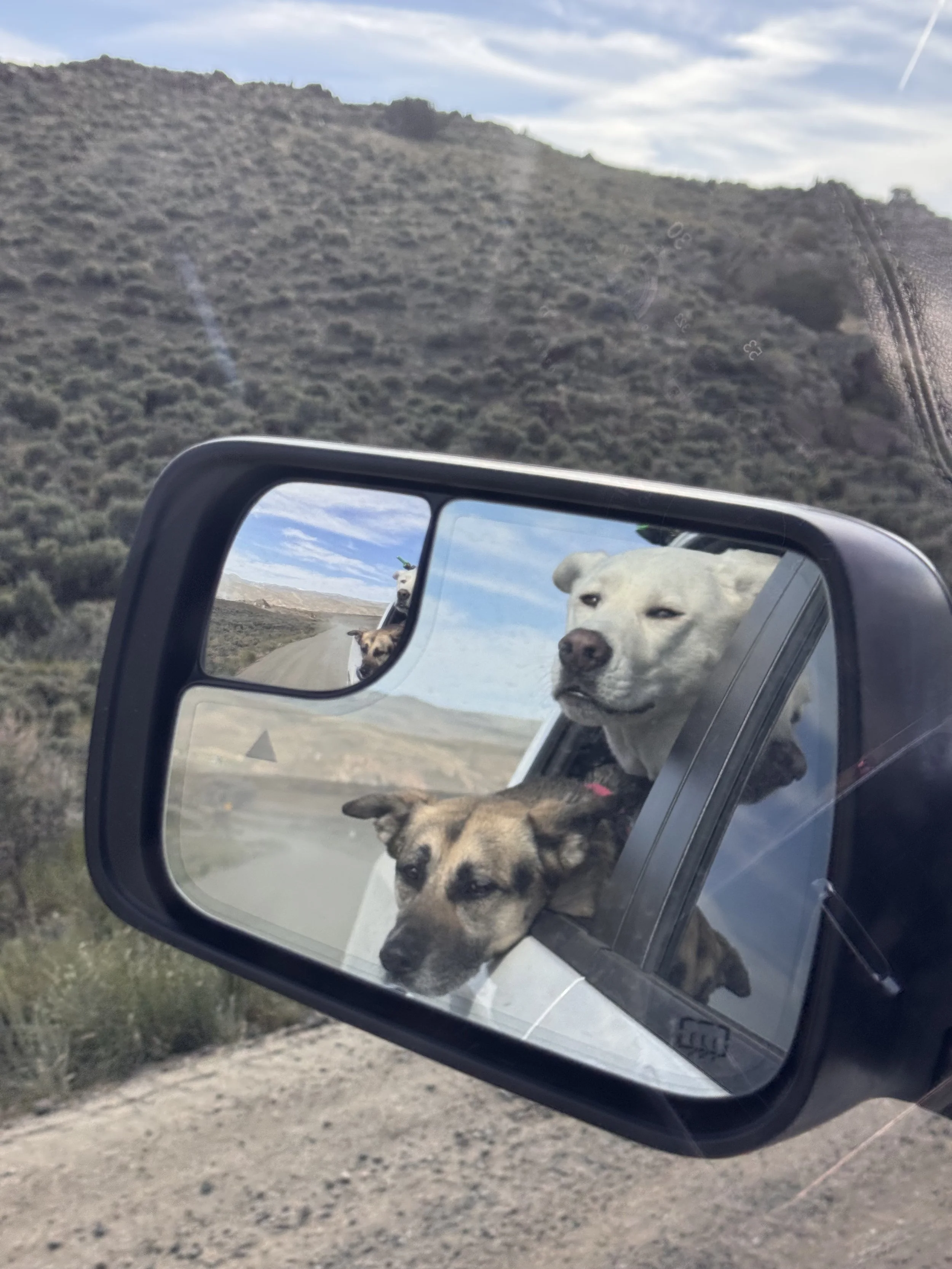
Dog friendly: Yes
Big-rig friendly: Not reliably
Primary activities: Dirt biking, mountain biking, sightseeing, and river access
Would we return? Yes, with careful site planning
Why We Chose Rosey Lane Campground
We wanted a campground that would give us reasonable access to the dirt-bike trails around Crested Butte, Taylor Park, and Almont without paying private RV-park prices.
Rosey Lane provided a good central location for:
Taylor Park OHV riding
Crested Butte dirt-bike single-track
Taylor Canyon recreation
Pearl Pass
Mountain biking
Fishing and river access
Visiting Almont, Gunnison, and Crested Butte
The campground also offered a more developed surface than many public campgrounds. After dealing with the dust in Moab, having asphalt roads and a concrete camping pad was a major benefit.
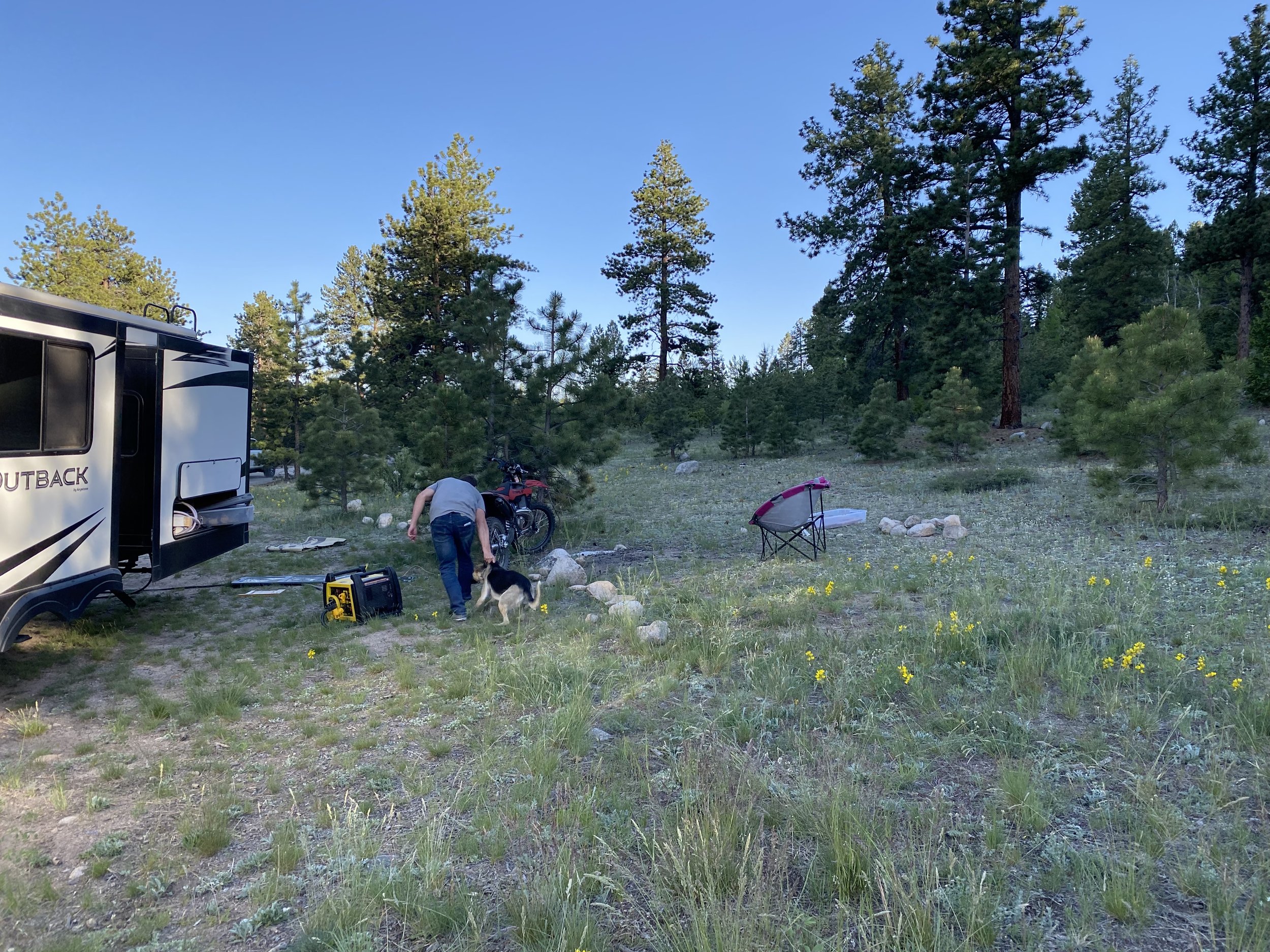
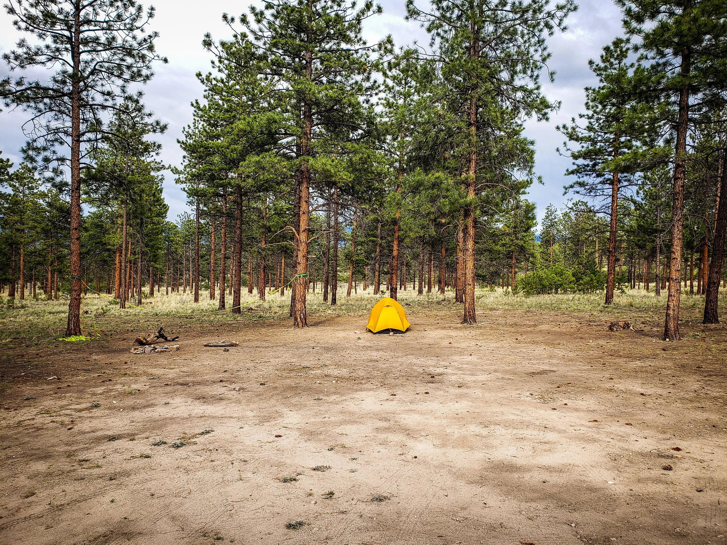
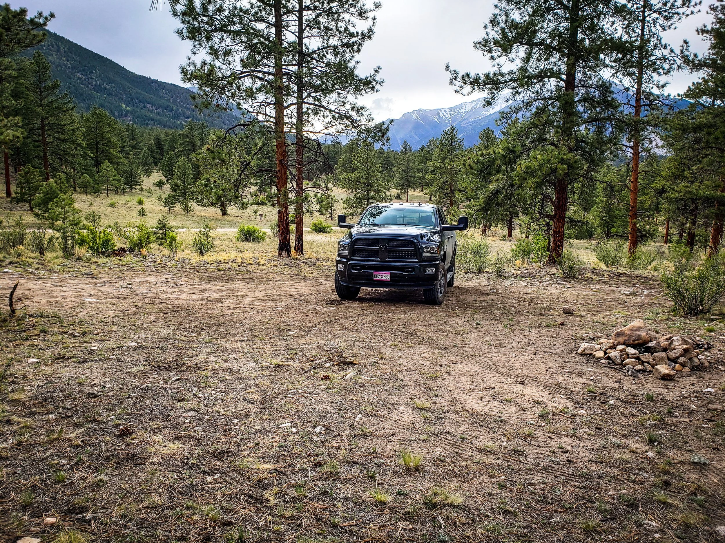
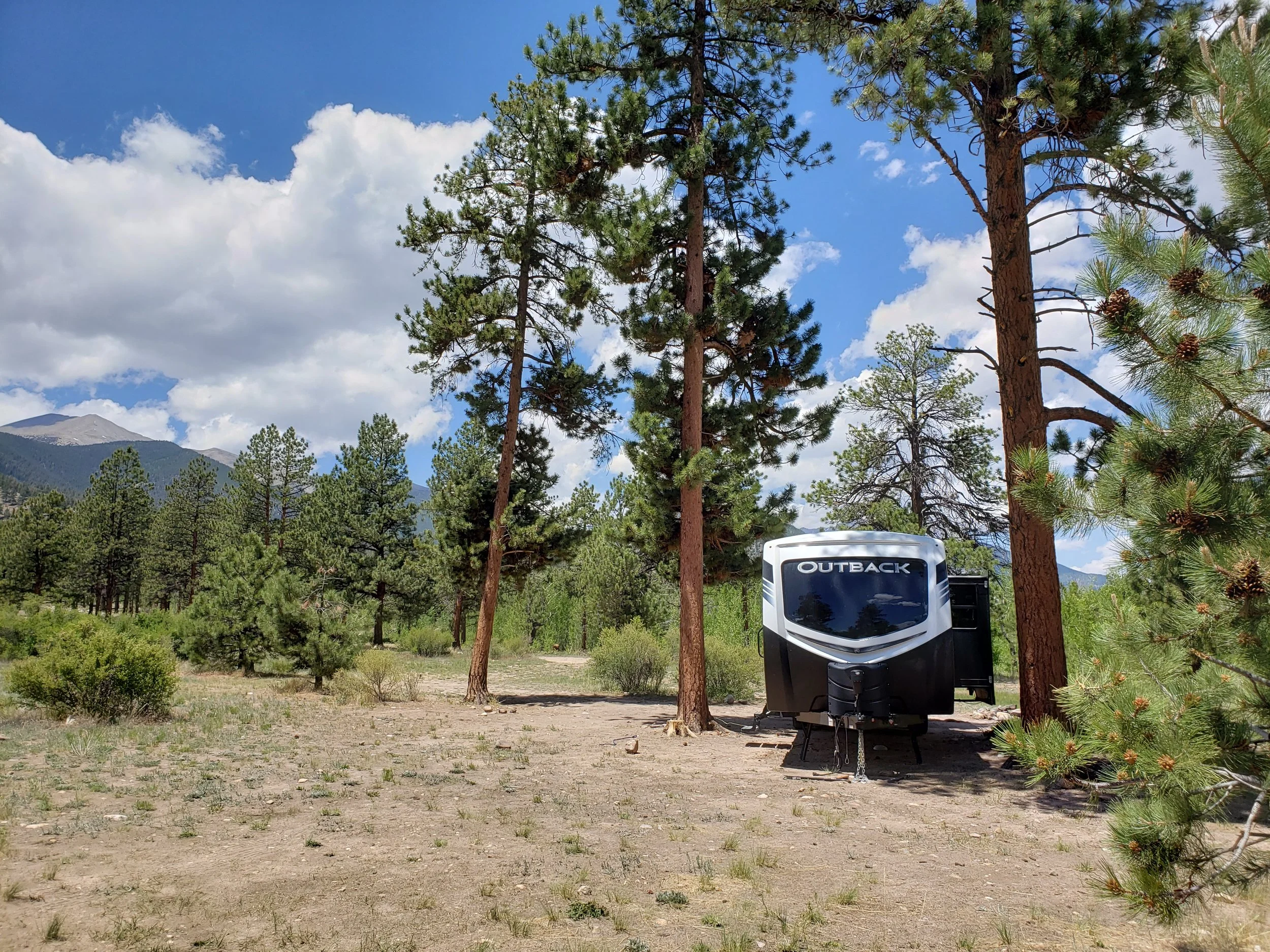
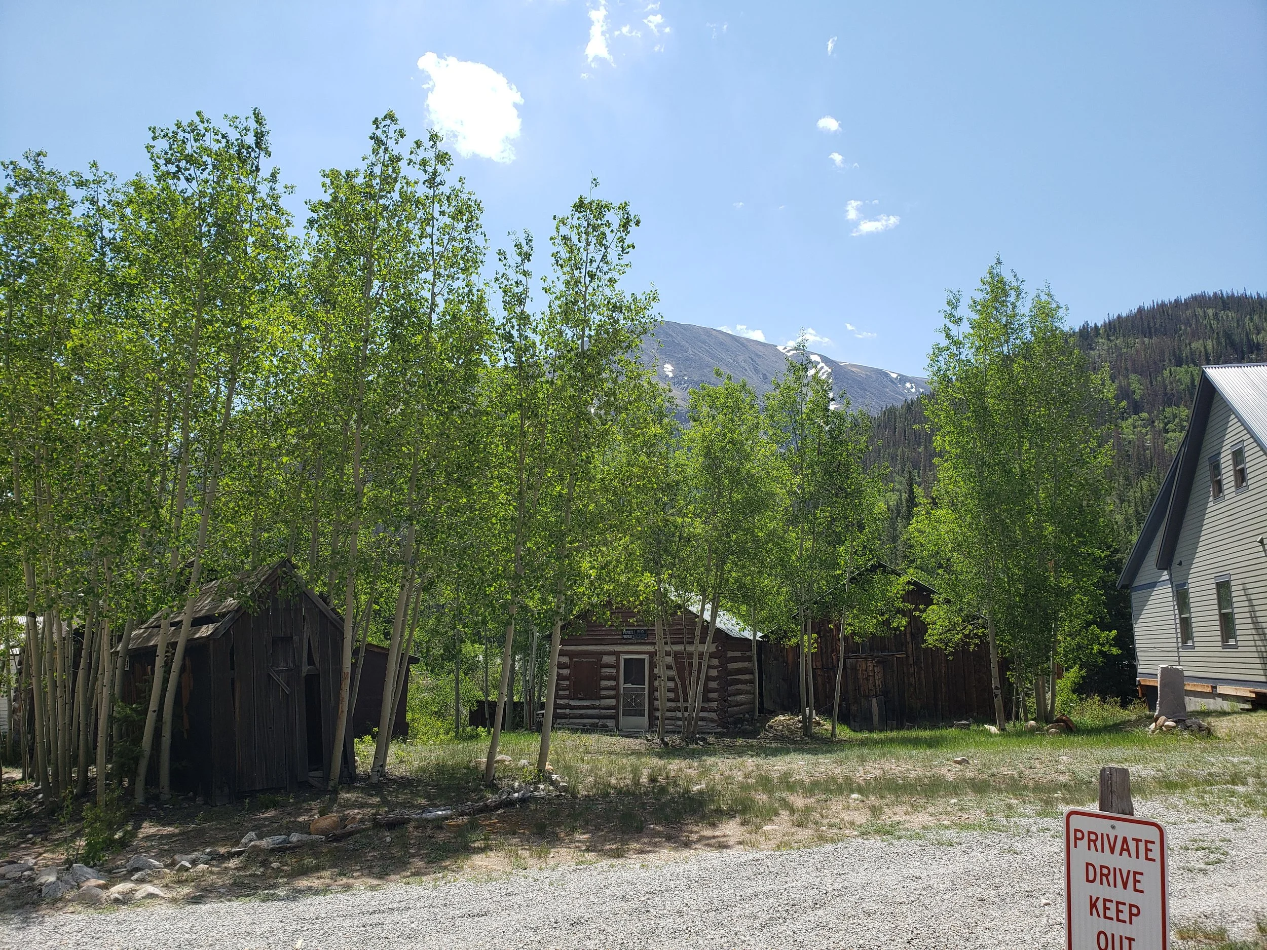
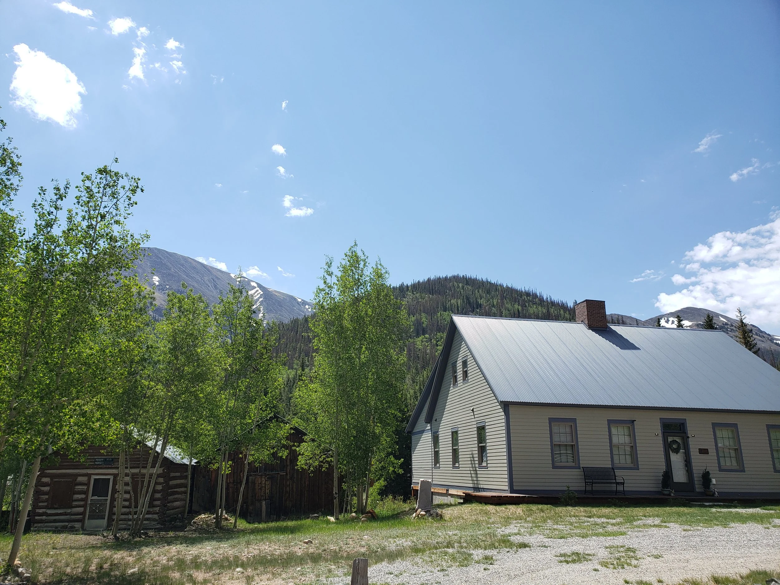
Our Campsite
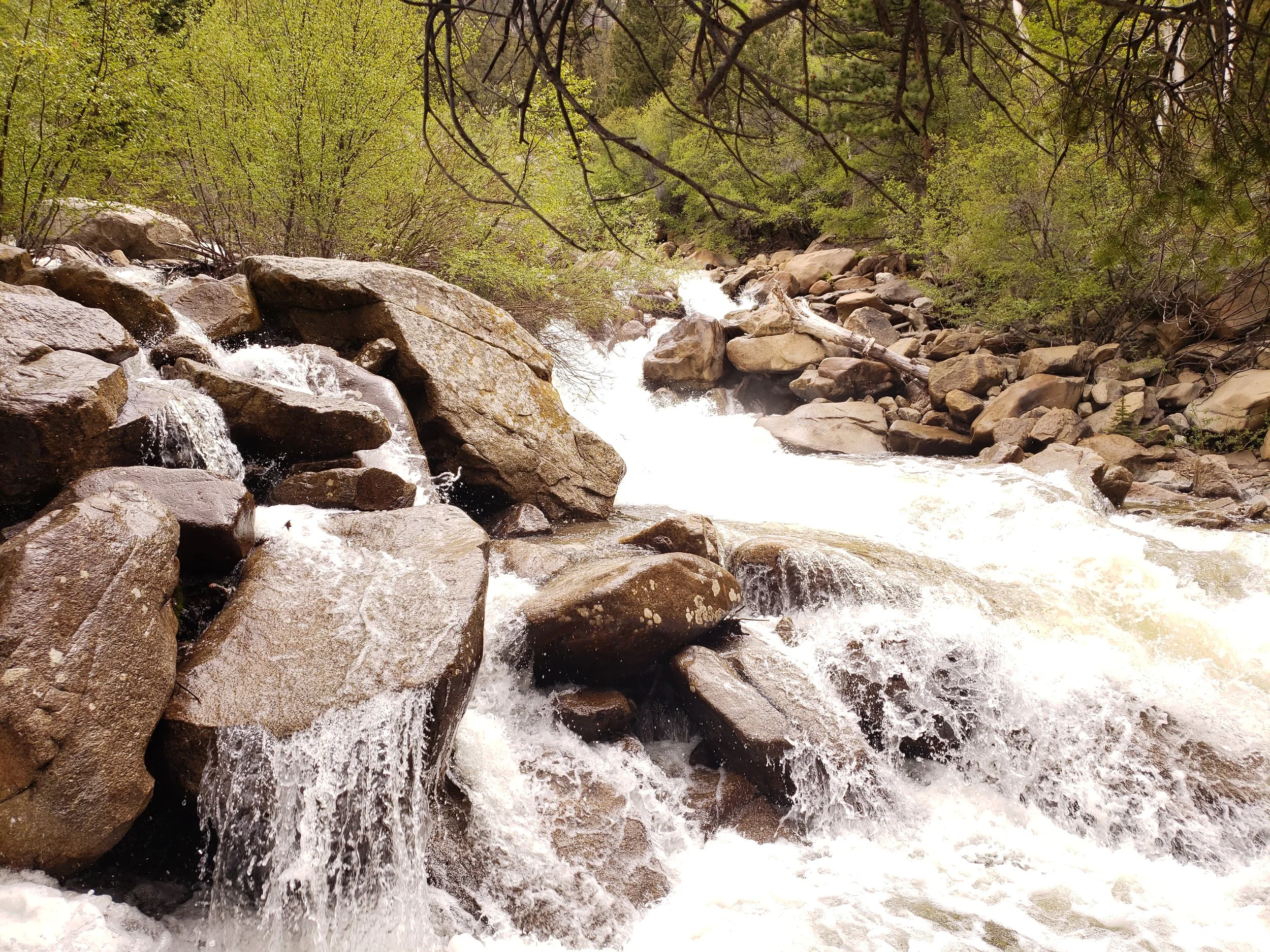
We stayed in the first pull-through site, directly beside the Taylor River.
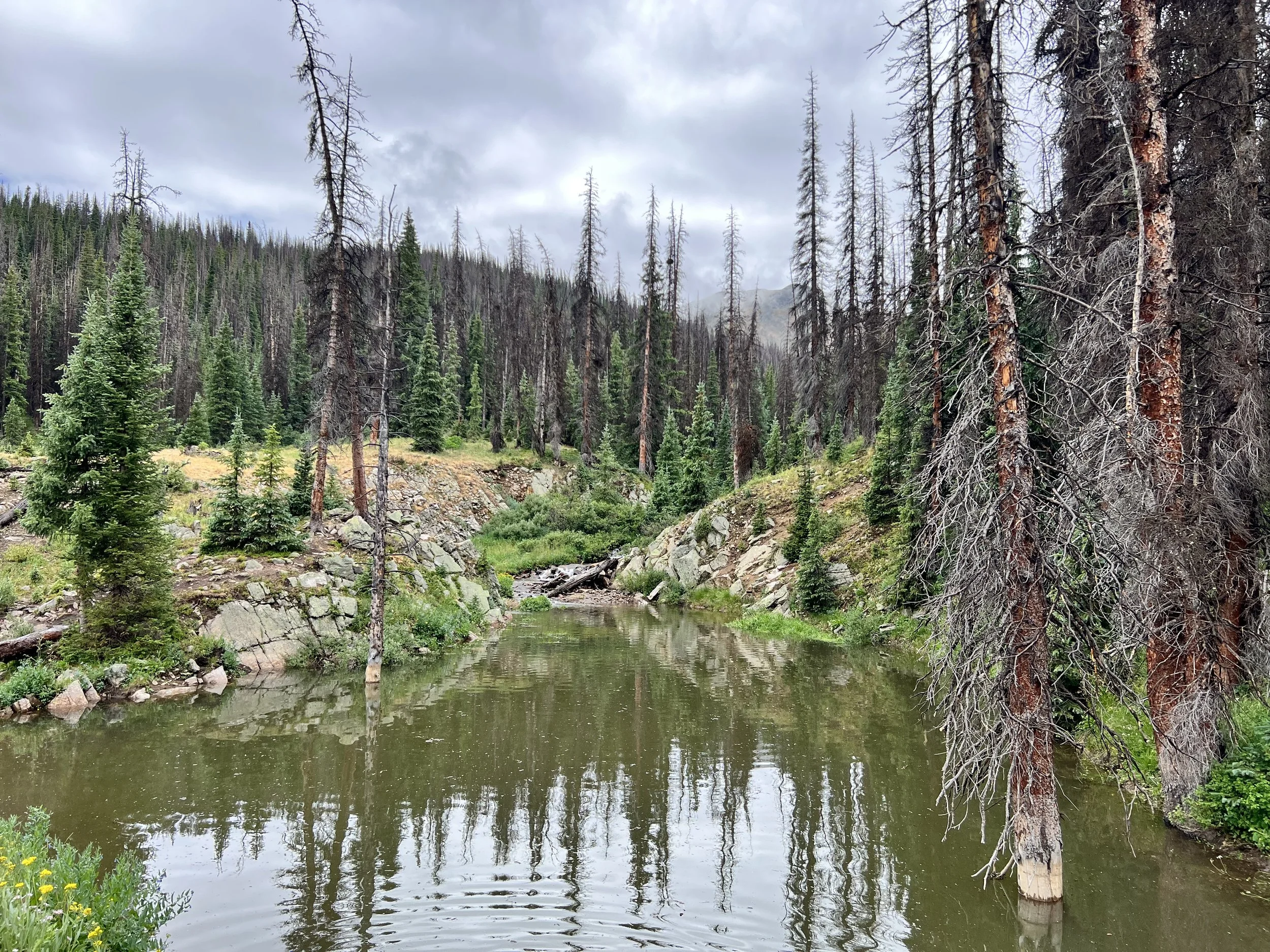
The campsite had a concrete pad, a fire ring, and enough room for our fifth wheel once we successfully made the turn. The sound of the river was one of the highlights of the campground. We could hear the water flowing all night, which made the site feel peaceful even though we were in a developed campground.
Rosey Lane was fairly empty during the week. By the weekend, however, most of the sites had filled.
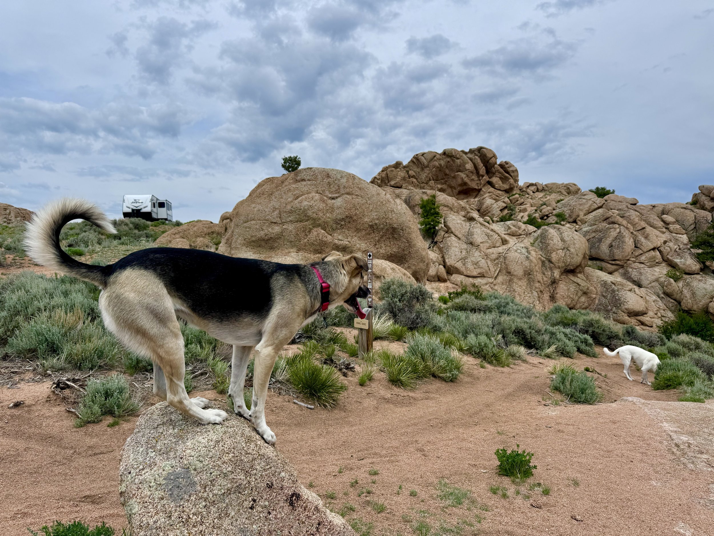
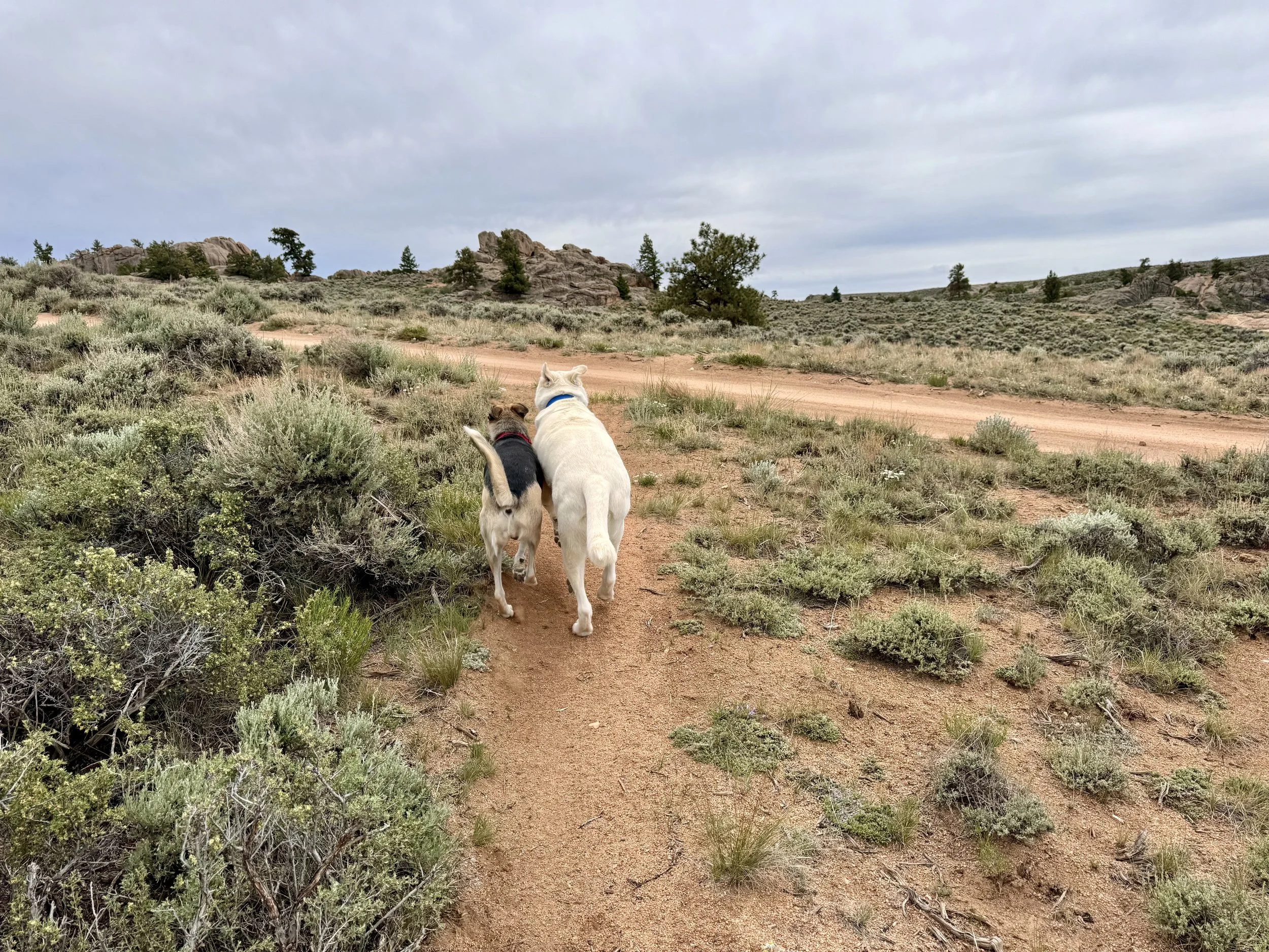
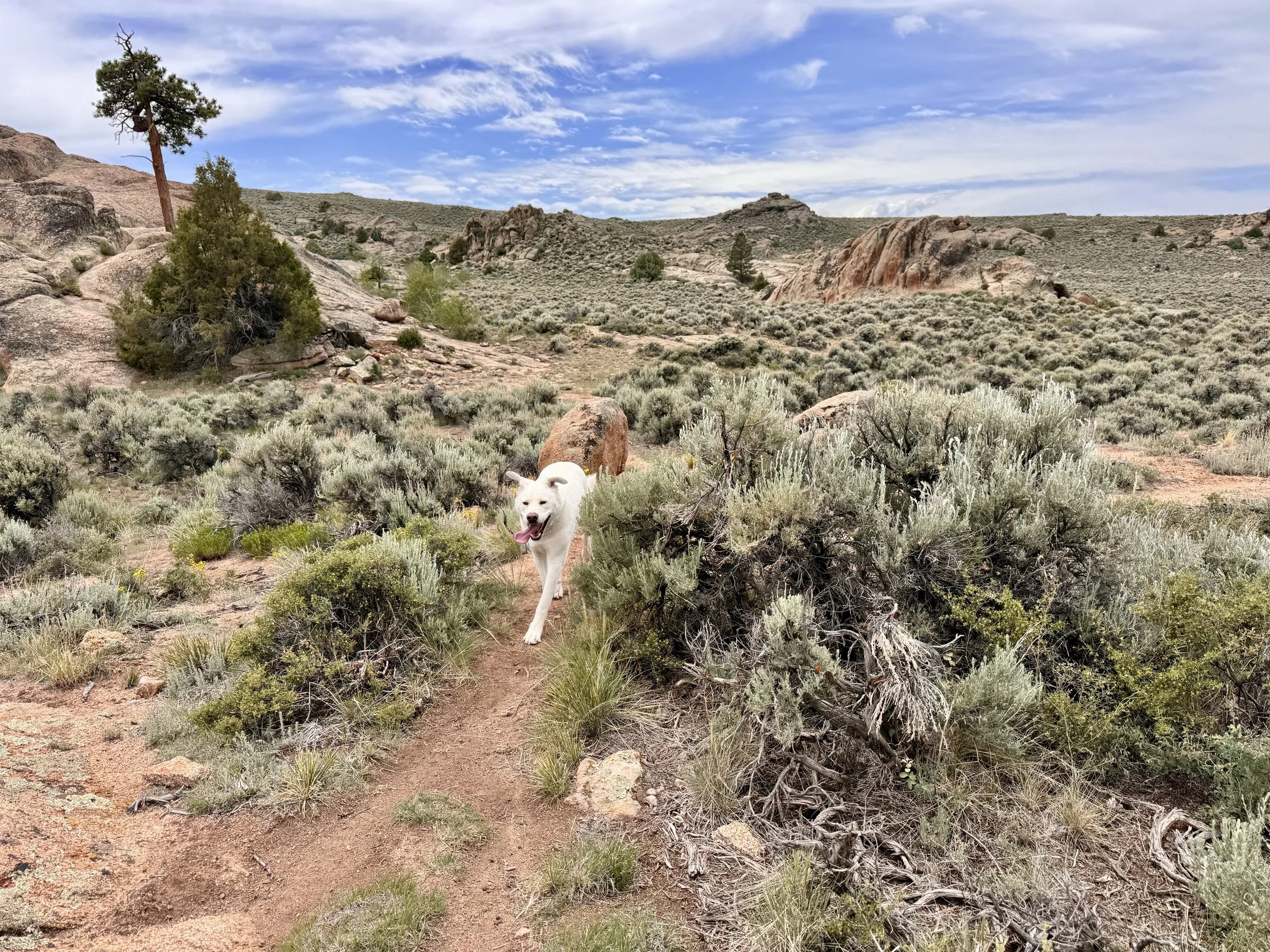
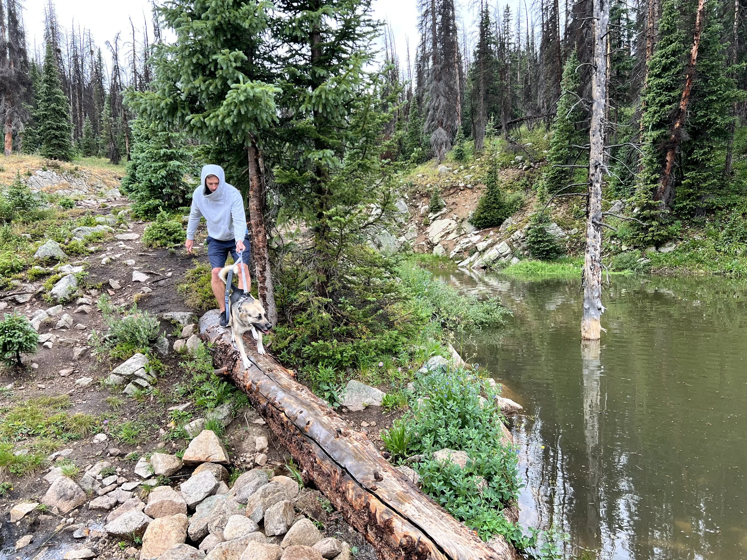
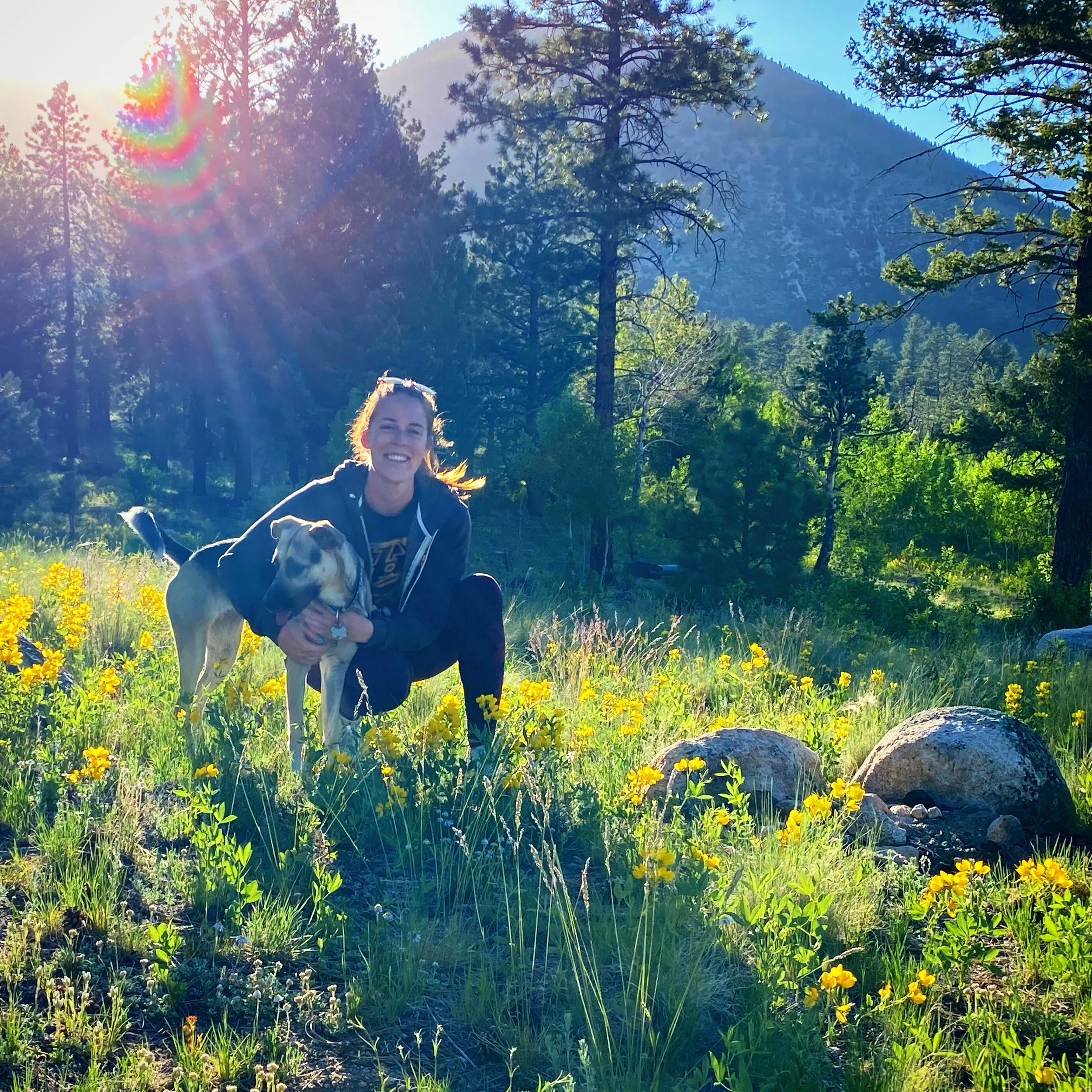
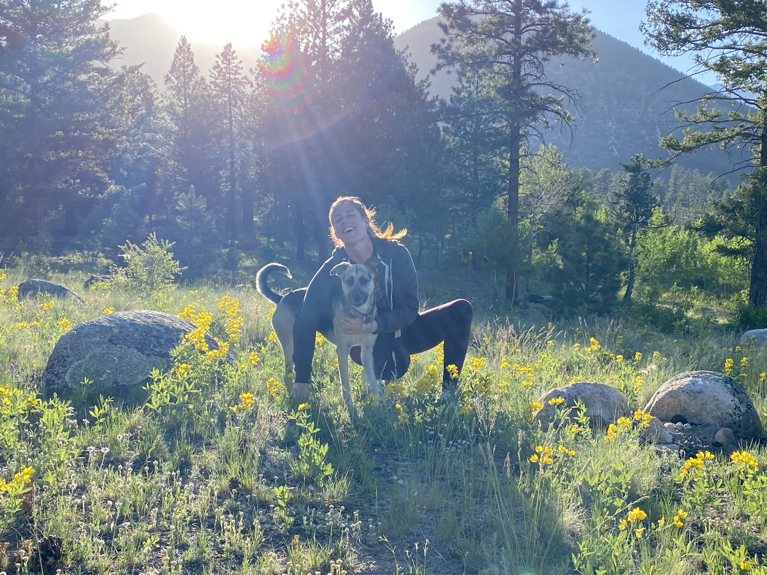
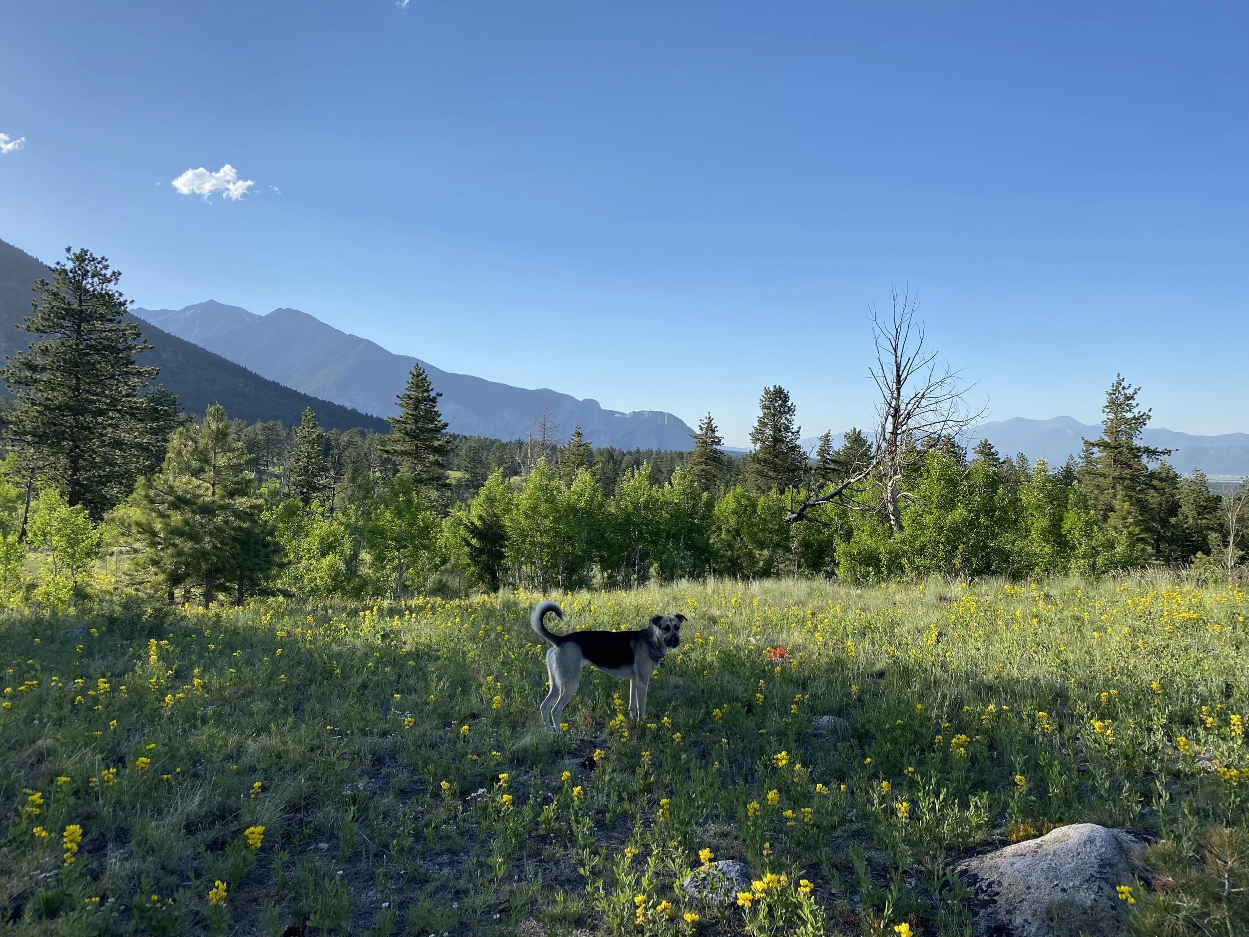
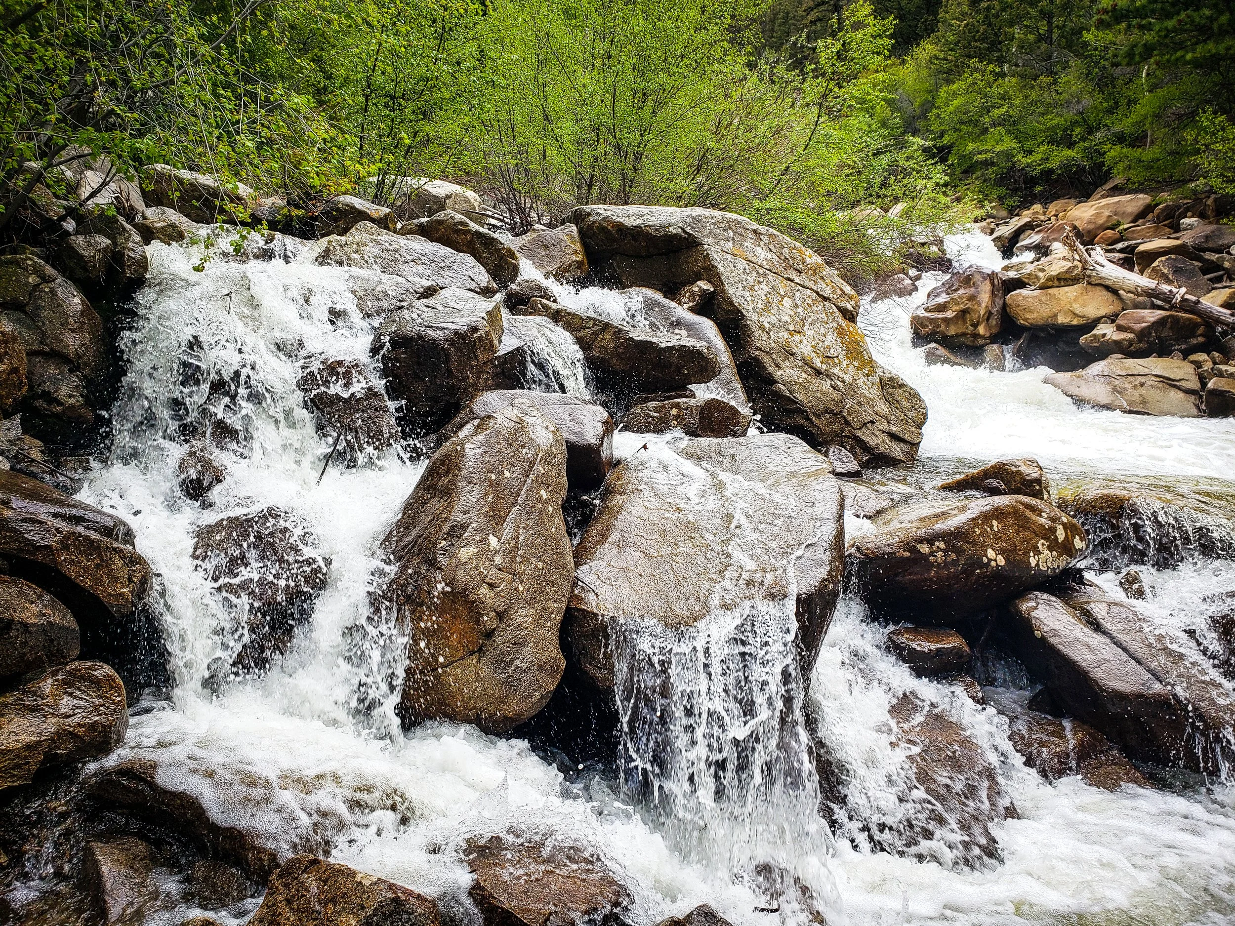
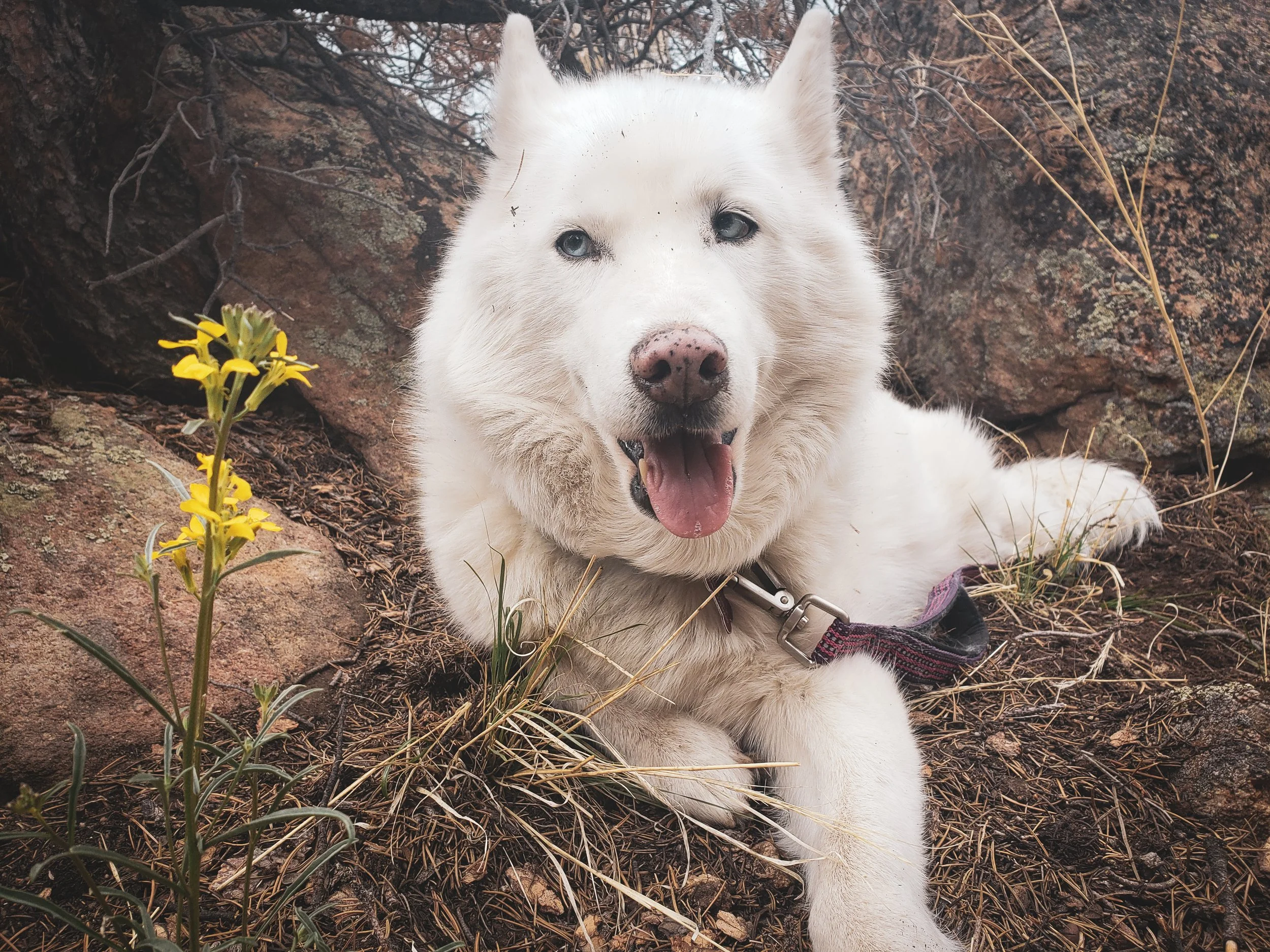
Our site was especially convenient for the dogs because they could access the creek near camp. There was also a small beach-like area just outside the campground where they could play in the water.
Is Rosey Lane Campground Big-Rig Friendly?
We would not describe Rosey Lane as reliably big-rig friendly.
We successfully parked our 45-foot fifth wheel, but only because the first pull-through campsite was empty. We needed that open space to complete the turn into the campground. Had another camper occupied the site, we do not believe we could have maneuvered our RV through the turn.
The paved roads and concrete pads were excellent once we were parked, but the interior layout was tight for our total truck-and-trailer length.
We also encountered low tree branches while leaving and had to trim some of them to avoid scraping the camper.
Big-Rig Considerations
Travelers with long fifth wheels, toy haulers, or motorhomes should verify:
Exact campsite length
Total combined truck-and-trailer length
Pull-through entrance and exit angles
Turning space near the campsite
Tree clearance
Whether adjacent campsites must be empty to complete a turn
Whether the assigned site can be approached from the correct direction
A campground may list a campsite that is long enough for a large RV without having roads or turns that are suitable for reaching it.
Campground Facilities
Rosey Lane is a simple campground without utility hookups.
Vault toilets were available for campers who did not have a bathroom in their RV. There was no on-site dump station, potable-water hookup, electrical connection, or sewer connection at our campsite.
The campground was exceptionally clean throughout our stay. The hosts were friendly and lived full-time in their own RV at the campground.
Firewood was available for purchase, but it was expensive enough that we chose not to buy it there.
Available Facilities
Concrete camping pads
Paved campground roads
Pull-through and back-in sites
Fire rings
Vault toilets
Camp hosts
Firewood for sale
Taylor River access
Not Available
Electrical hookups
Water hookups
Sewer hookups
On-site RV dump station
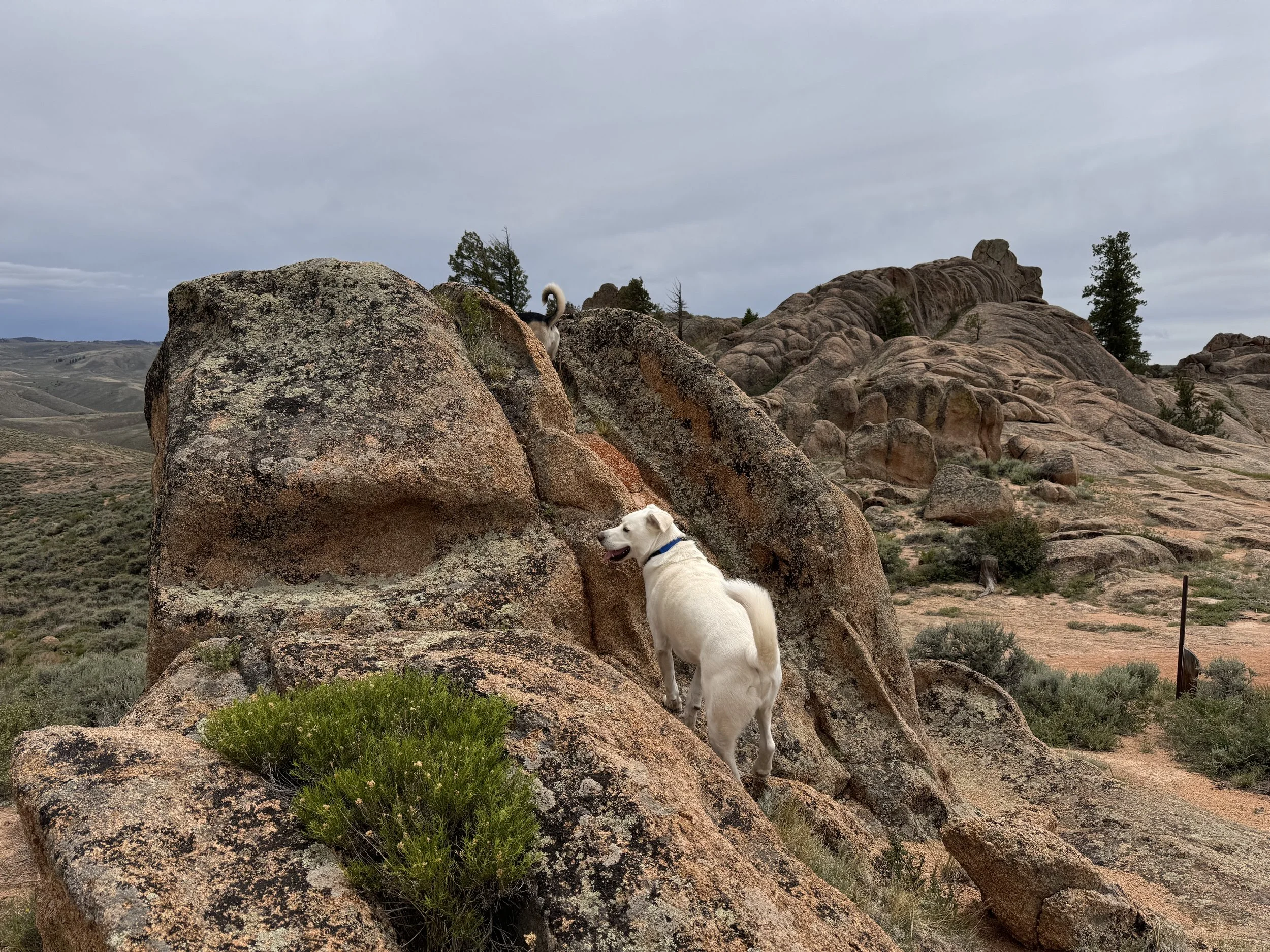
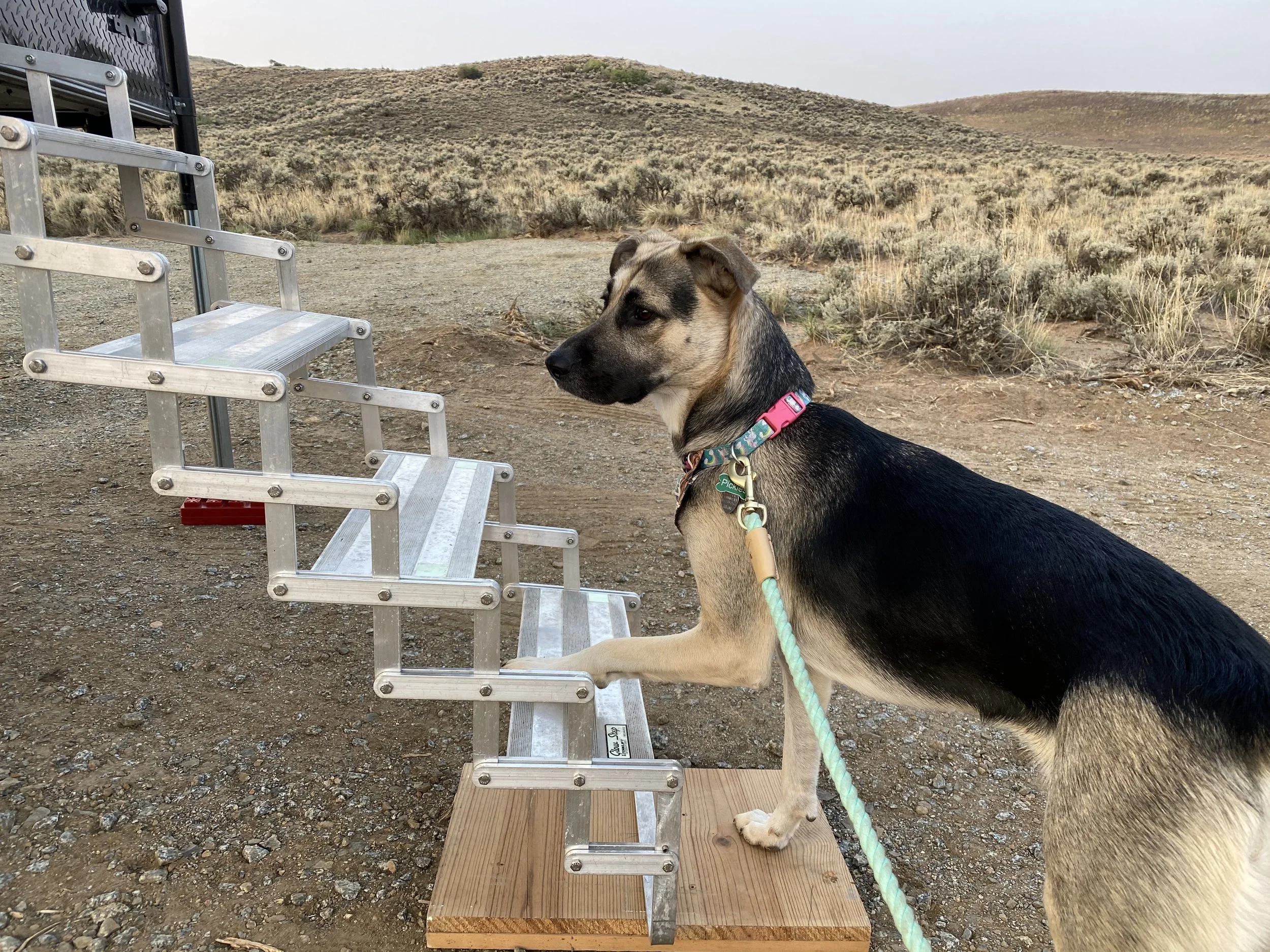
Camping With Dogs
This was an excellent campground for our dogs.
The Taylor River ran beside our campsite, and there was a small beach area just beyond the campground. Pickles loved retrieving sticks from the water and repeatedly tried to go back into the river.
The water was extremely cold. Pickles eventually began shivering so badly that she could barely stand, yet she continued trying to retrieve sticks. We had to make her stop and warm up because she was not going to quit voluntarily.
Dogs that are highly focused on swimming or retrieving may need enforced breaks. The river can remain dangerously cold even when the air temperature feels comfortable.
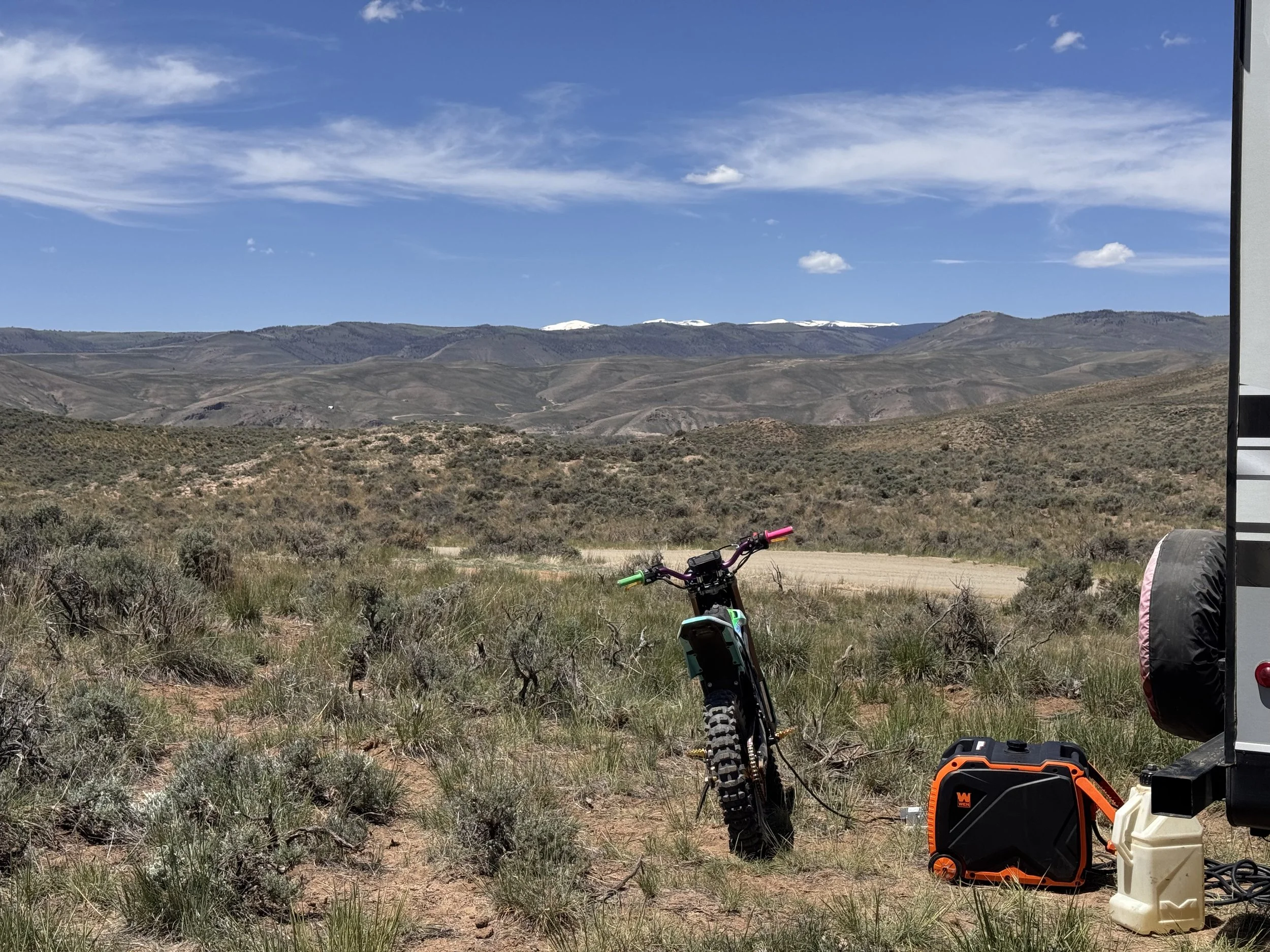
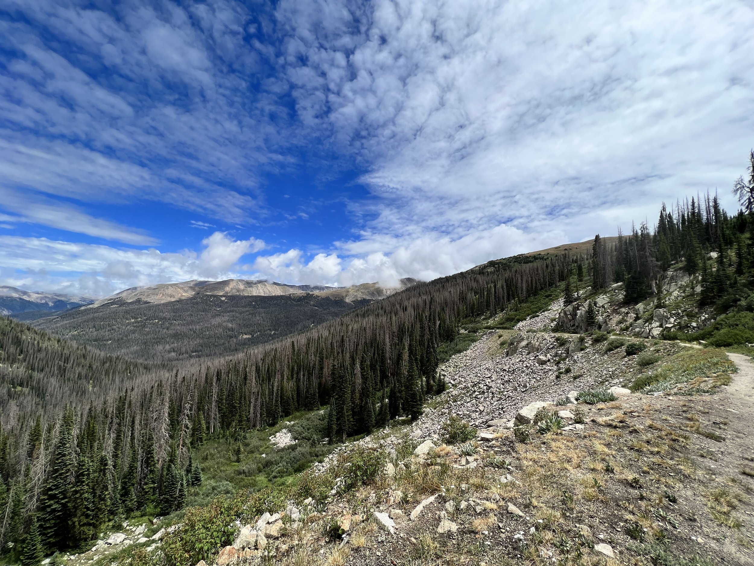
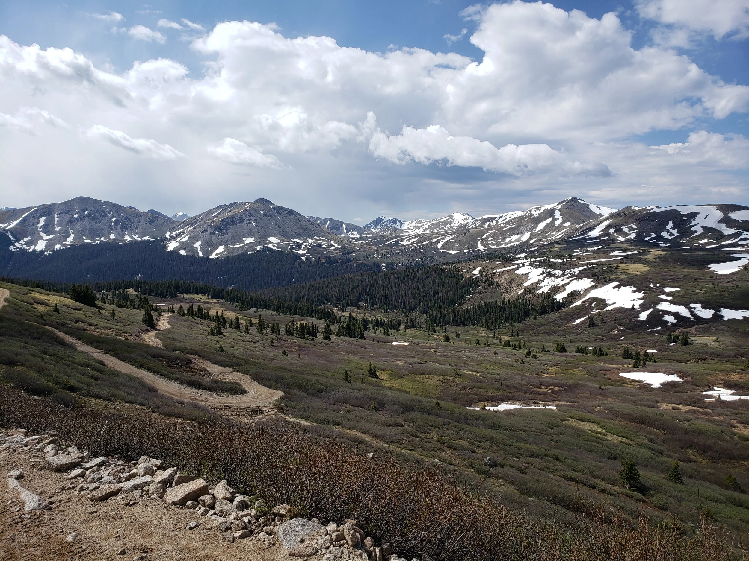
OHV Riding Around Taylor Park
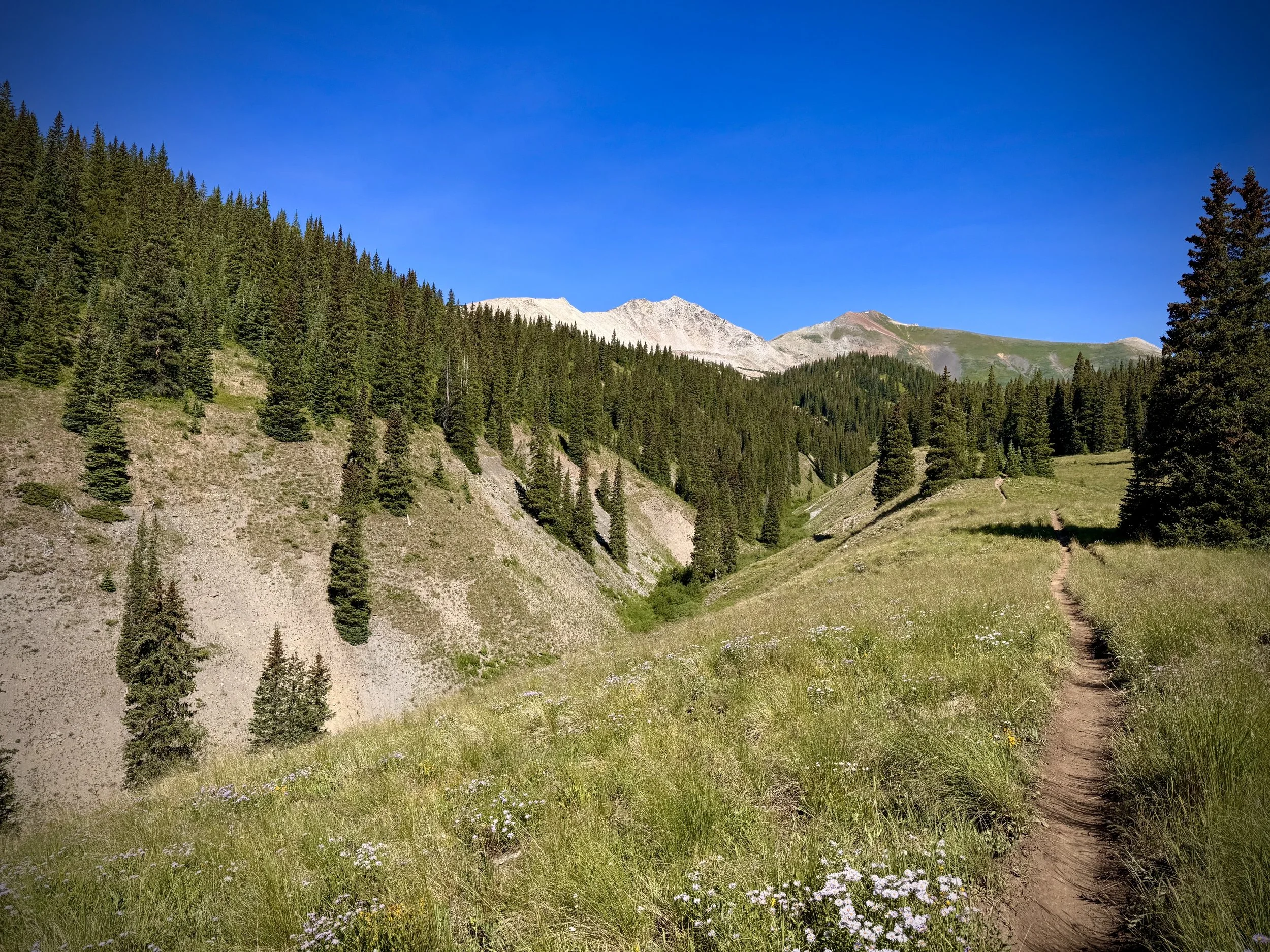
Taylor Park is the largest and most recognizable OHV destination near Rosey Lane. The area includes mountain passes, mining roads, two-track routes, ATV trails, side-by-side routes, and motorcycle-only single-track.
It is best suited to riders who want to spend several days exploring a broad trail network rather than riding one isolated trail.
Popular Taylor Park Riding Areas
Taylor Park Reservoir Area
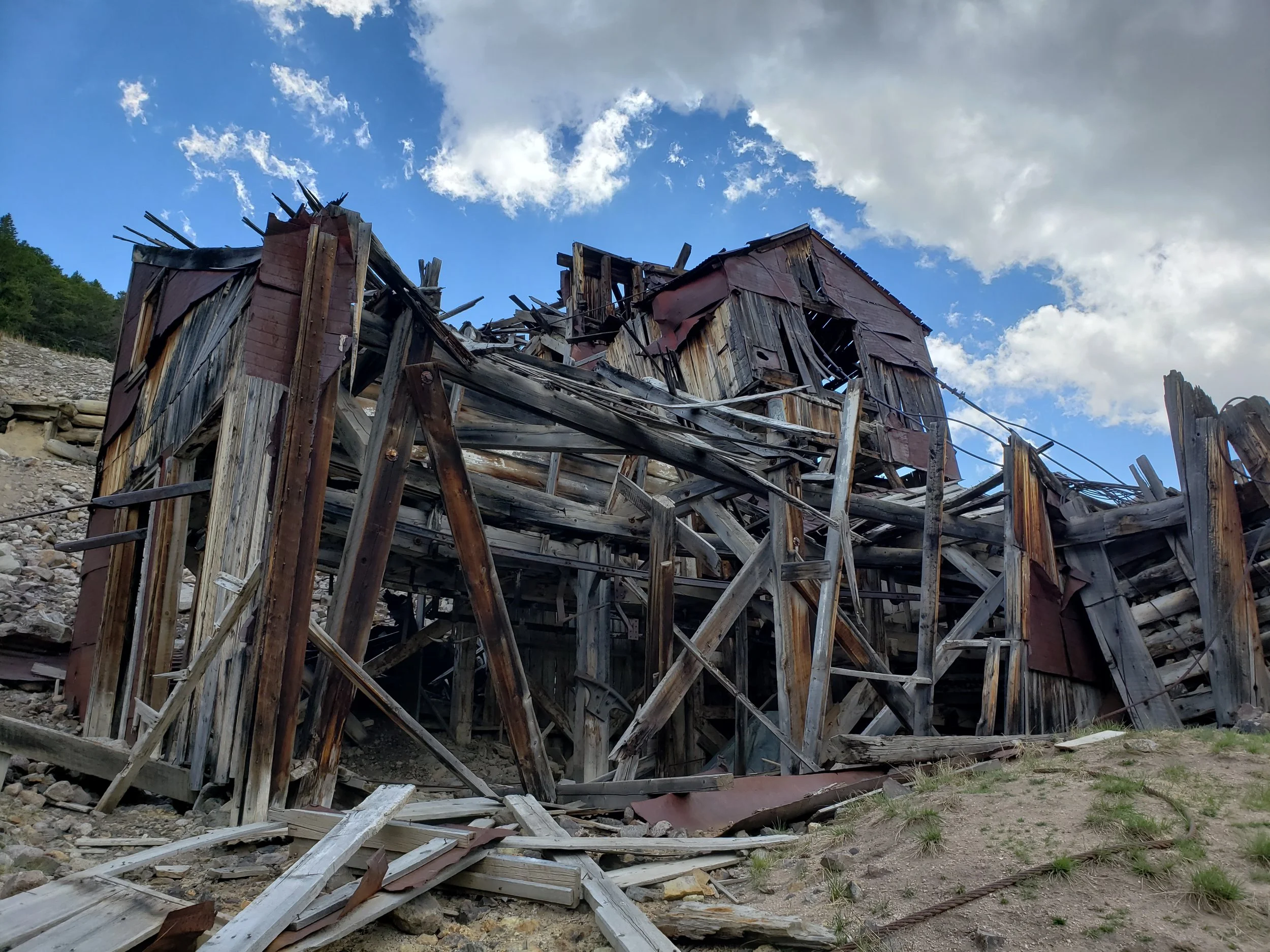
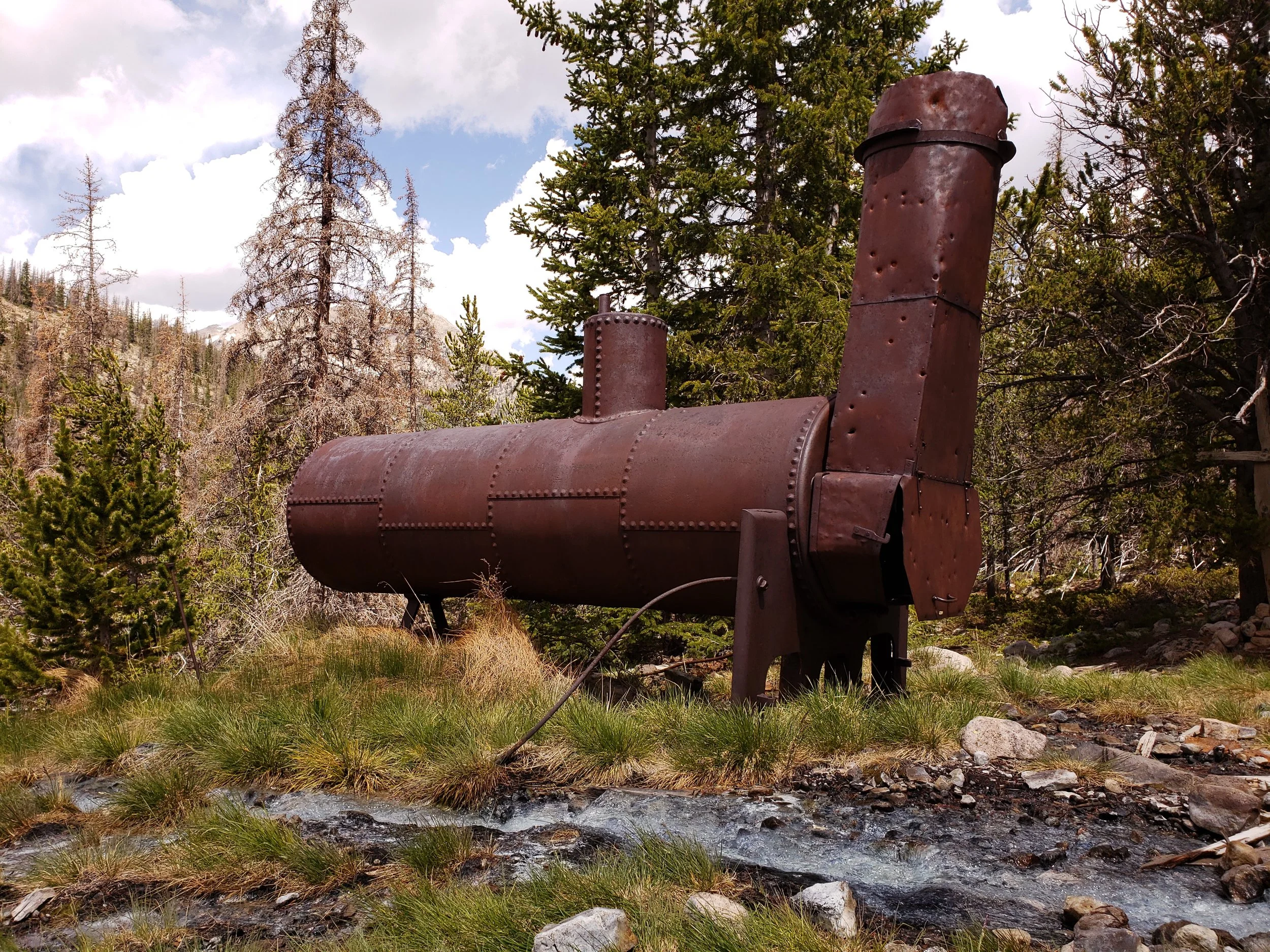
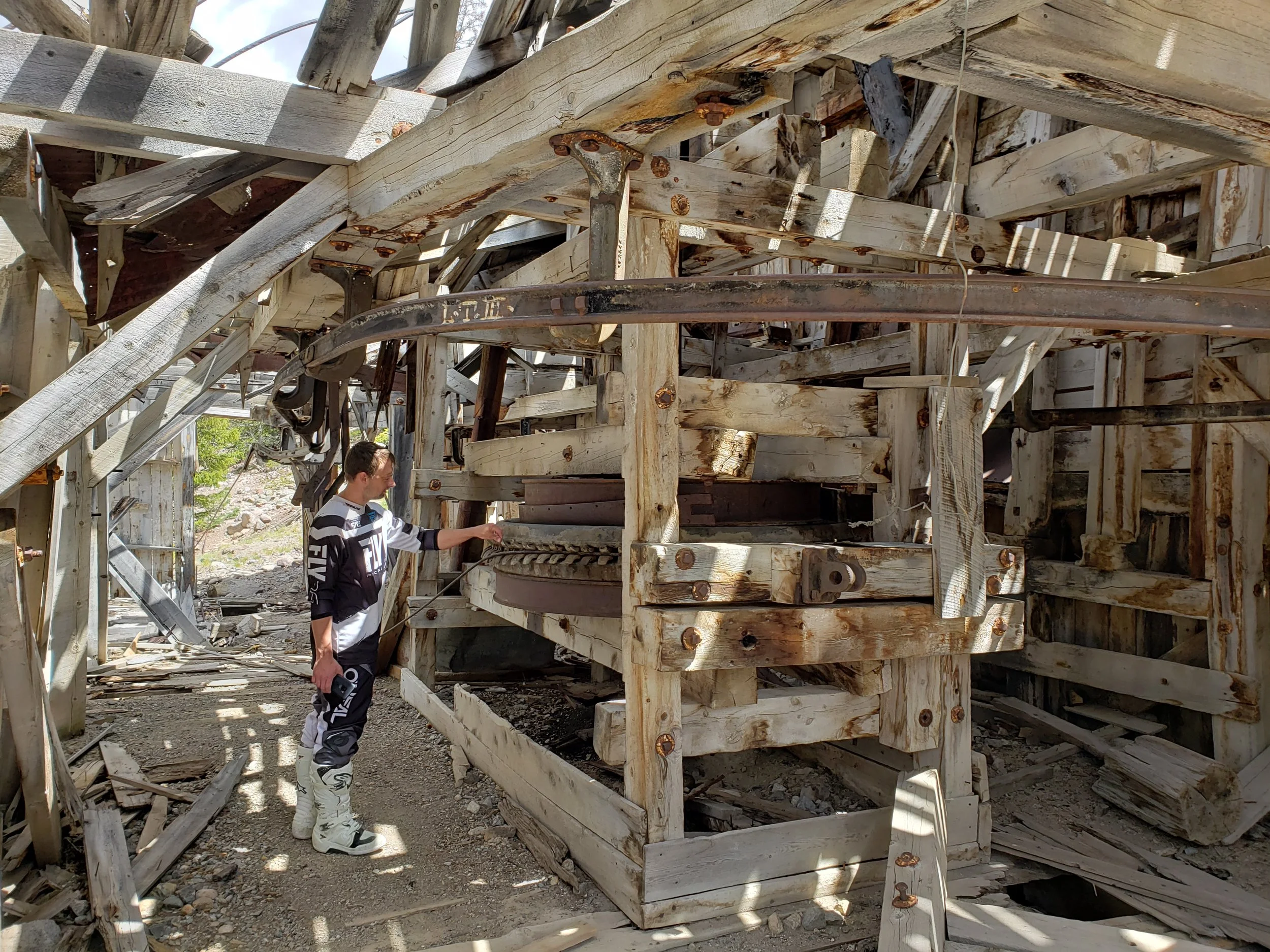
The reservoir serves as a central landmark for the greater Taylor Park trail network. Roads and trails branch toward high mountain passes, historic mining areas, ghost towns, and remote backcountry terrain.
The open terrain near the reservoir also makes it easier to orient yourself before entering more remote riding areas.
Tincup and Cumberland Pass
Tincup is a small seasonal mountain community and a popular OHV destination. Routes from this area connect riders with Cumberland Pass, historic mining areas, and the broader Taylor Park trail network.
This area tends to attract:
Dirt bikes
ATVs
Side-by-sides
Jeeps
Other high-clearance vehicles
Taylor Pass
Taylor Pass is a rugged mountain route connecting the Taylor Park side of the mountains with terrain toward Aspen.
Conditions may include rocks, water crossings, ledges, mud, snow, and narrow sections. It should not be treated as a casual scenic drive without checking current conditions.
Italian Creek and American Flag Mountain
The Italian Creek area provides access to high-elevation OHV terrain and routes near American Flag Mountain. These roads are known for mountain scenery, rocky sections, and expansive views.
Union Park
Union Park provides additional trail connections and access to remote terrain within the Taylor Park system. It can be incorporated into longer OHV loops depending on current trail openings.
Reno Divide
Reno Divide connects with riding areas toward Cement Creek and Crested Butte. It is useful for riders seeking a mixture of forest roads, mountain scenery, and access to nearby single-track.
Slaughterhouse Gulch
Slaughterhouse Gulch is another recognized motorized route in the Taylor Park network. Riders should research current difficulty, conditions, and vehicle-width restrictions before including it in a route.
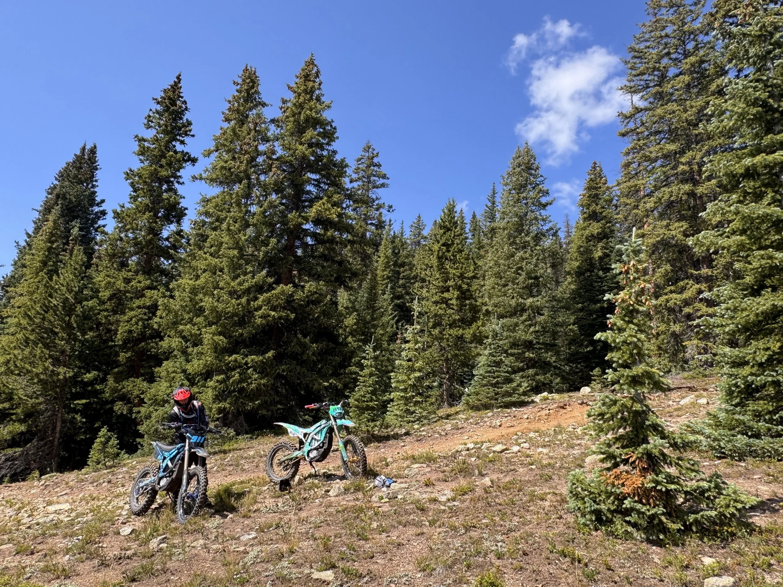
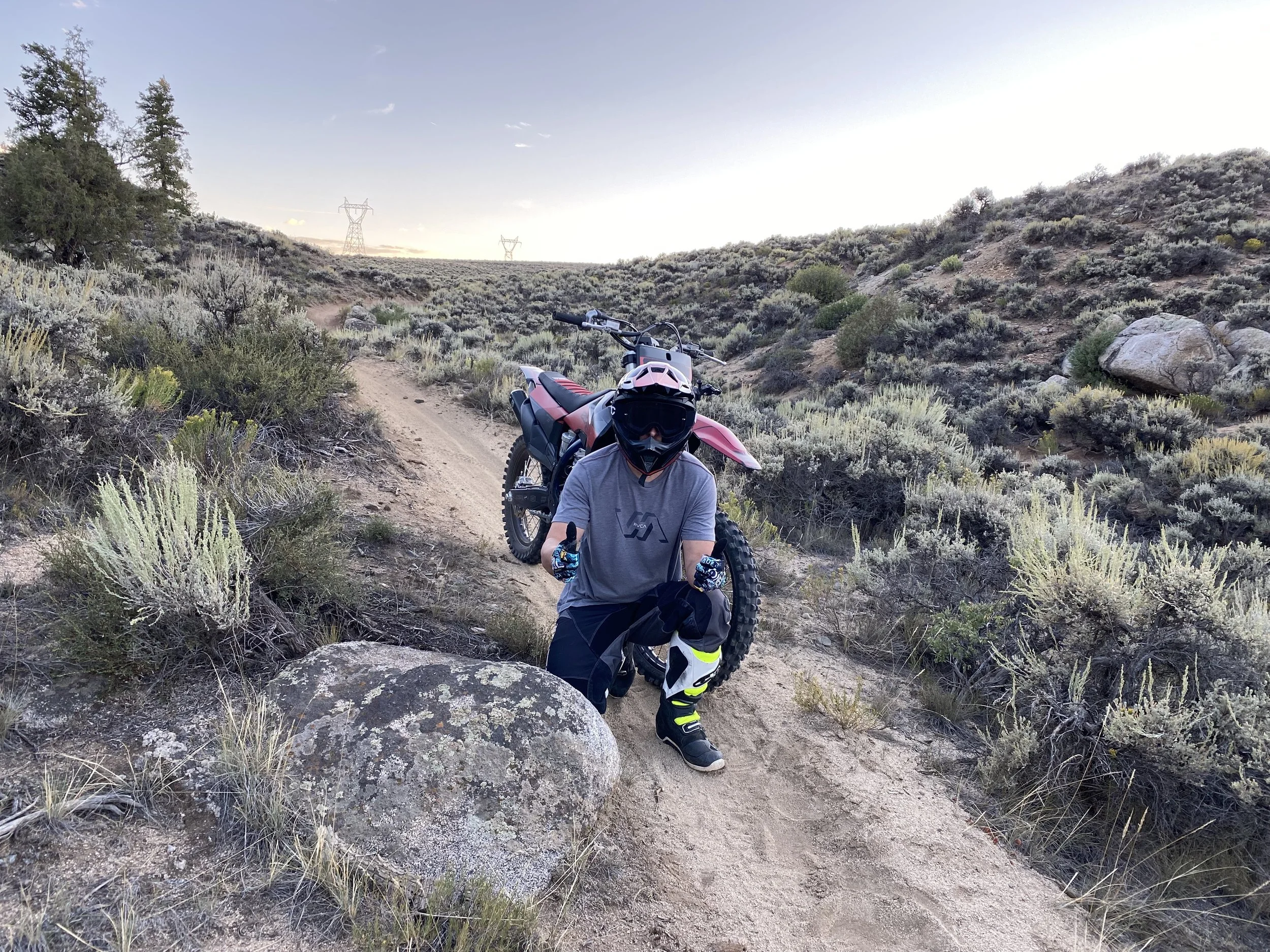
Dirt-Bike Single-Track Near Crested Butte
Some of the best motorcycle single-track in the area is concentrated east of Crested Butte between Cement Creek Road and Brush Creek Road.
These trails are better suited to dirt bikes than full-size vehicles. Many contain roots, rocks, narrow side hills, creek crossings, steep climbs, and technical descents.
Conditions and legal access can change, so riders should always confirm current motorcycle designations using official motor-vehicle maps.
Reno–Flag–Bear–Deadman
The Reno–Flag–Bear–Deadman combination is one of the best-known motorized single-track loops near Crested Butte.
The route includes:
Forested single-track
Creekside riding
Open mountain views
Climbs and descents
Connections between the Cement Creek and Brush Creek areas
This is generally considered a substantial backcountry ride rather than a beginner loop.
Teocalli Ridge
Teocalli Ridge is known for its high-country views and long descent.
The trail is used by both mountain bikers and dirt bikers where motorized travel is permitted. Riders should expect climbing, exposure to changing weather, and sections that can become slick or damaged during wet conditions.
The 409 Trails
The 409 trail system near Crested Butte includes scenic high-country single-track and connections around the Brush Creek area.
Depending on the exact loop selected, riders may encounter:
Meadows
Forested sections
Rocky climbs
Narrow trail
Steep descents
Shared trail traffic
Route names and allowable uses should be confirmed before riding because not every nearby trail is open to motorcycles.
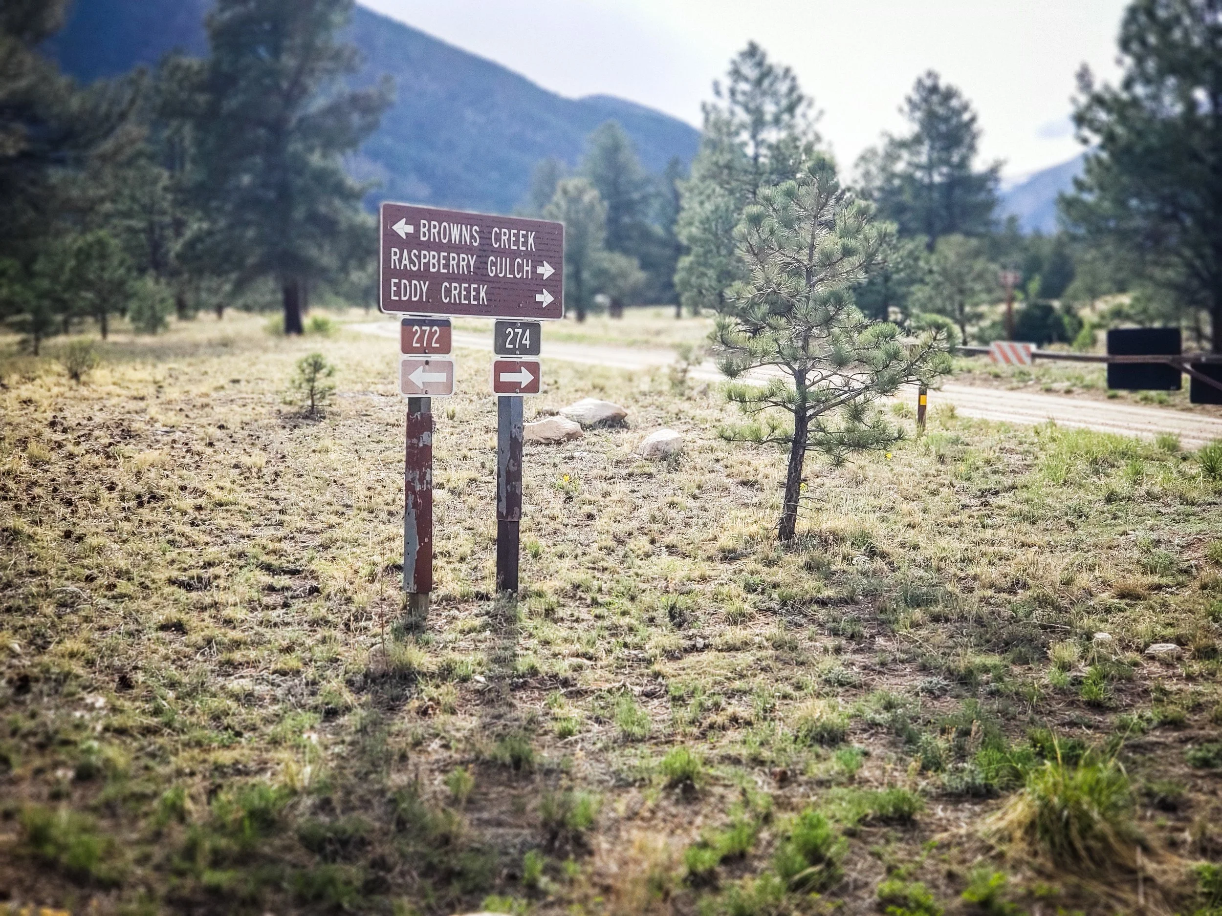
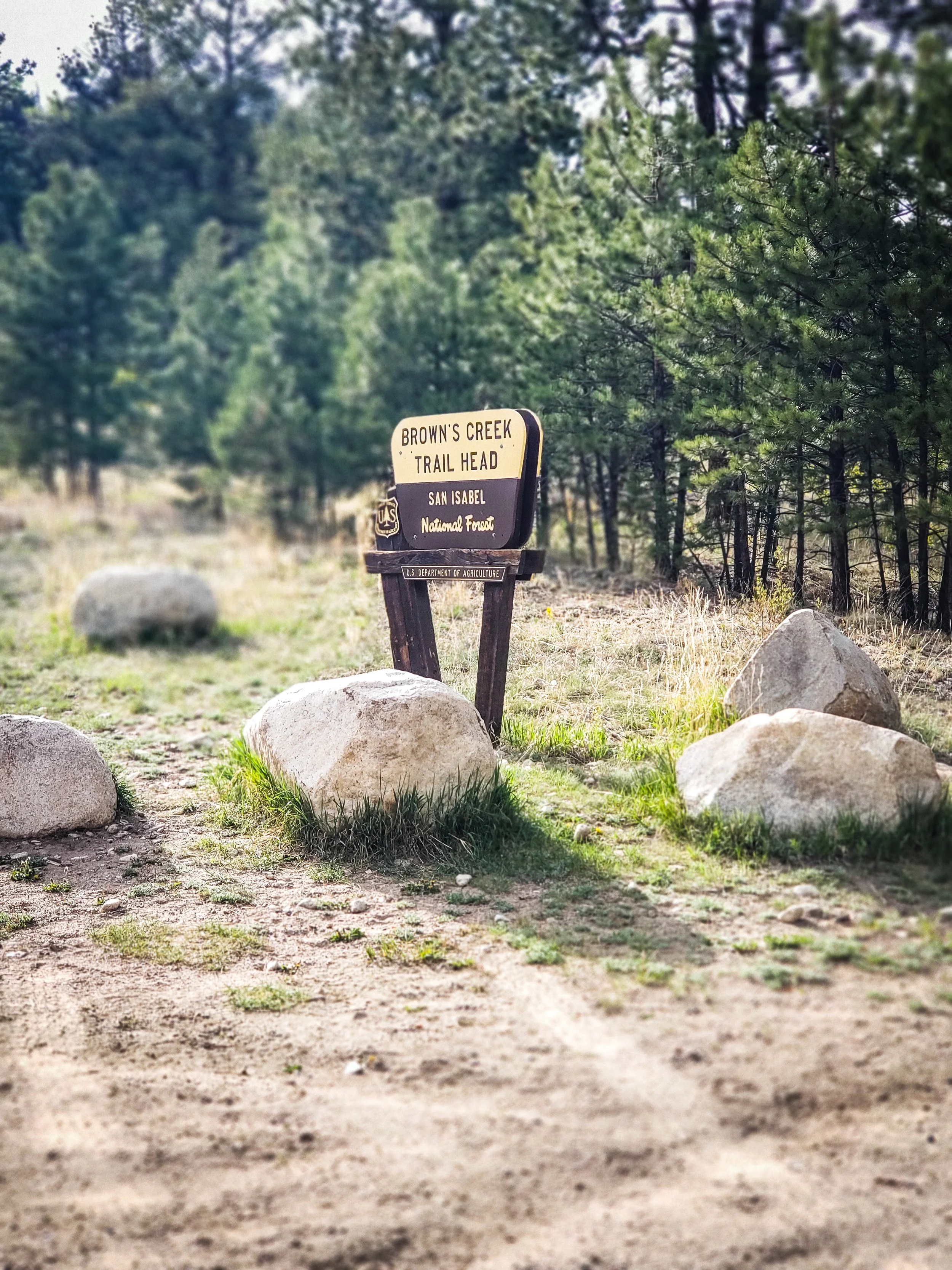
Doctor Park
Doctor Park is located in Taylor Canyon near Almont and is one of the best-known trails in the area.
It is especially popular with mountain bikers, although portions of the surrounding trail network and connecting routes may be shared with motorcycles. Riders should use current maps to verify exactly which segments are open to motorized travel.
Doctor Park is known for a demanding climb or shuttle approach followed by a long, scenic descent.
Star Trail and Nearby Connections


The Star Trail area provides additional backcountry riding connections in the Taylor Park and Taylor Canyon region.
As with the other single-track routes, difficulty and access can depend heavily on:
Snowmelt
Downed trees
Creek levels
Mud
Seasonal closures
Recent trail work
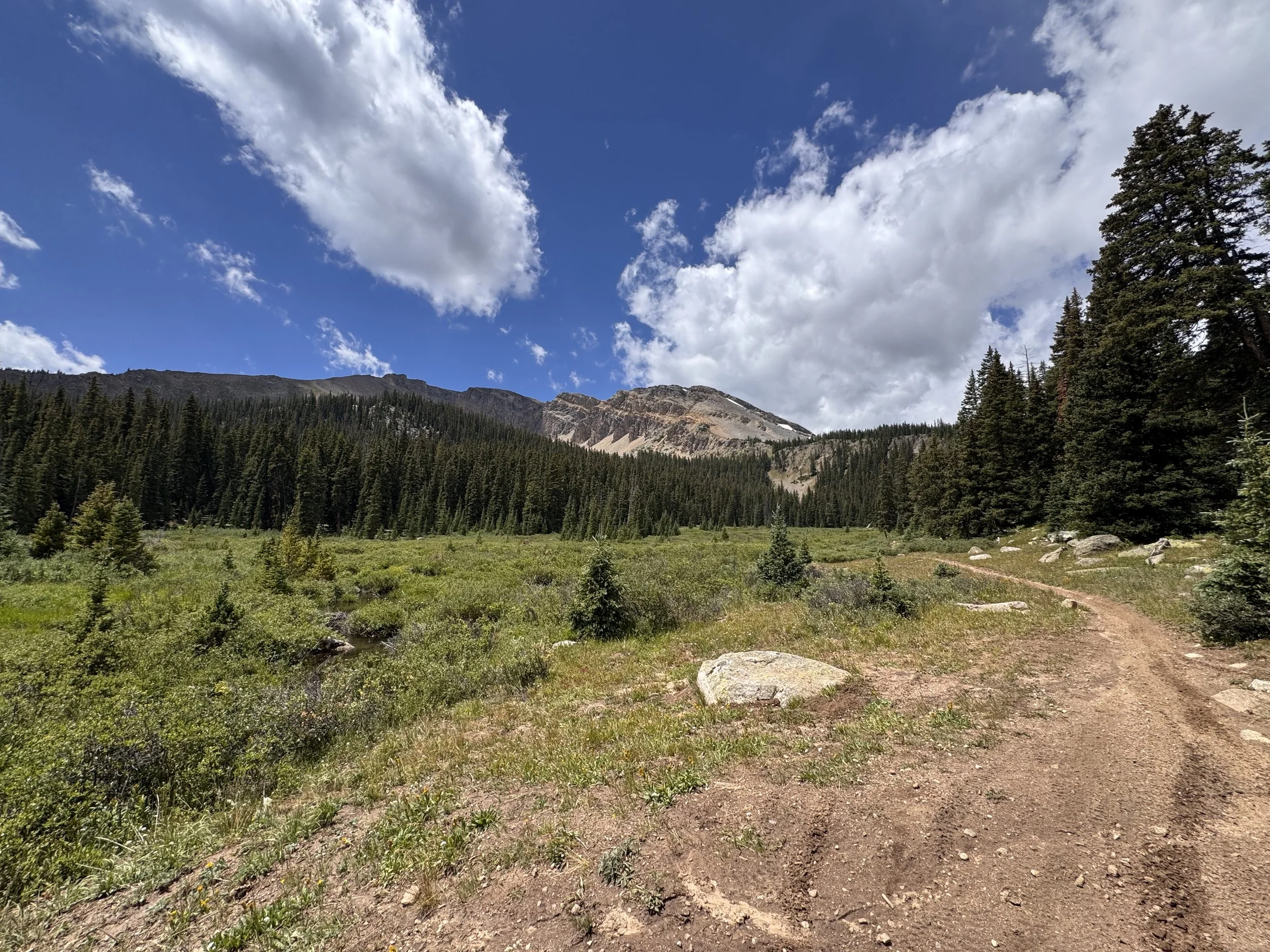
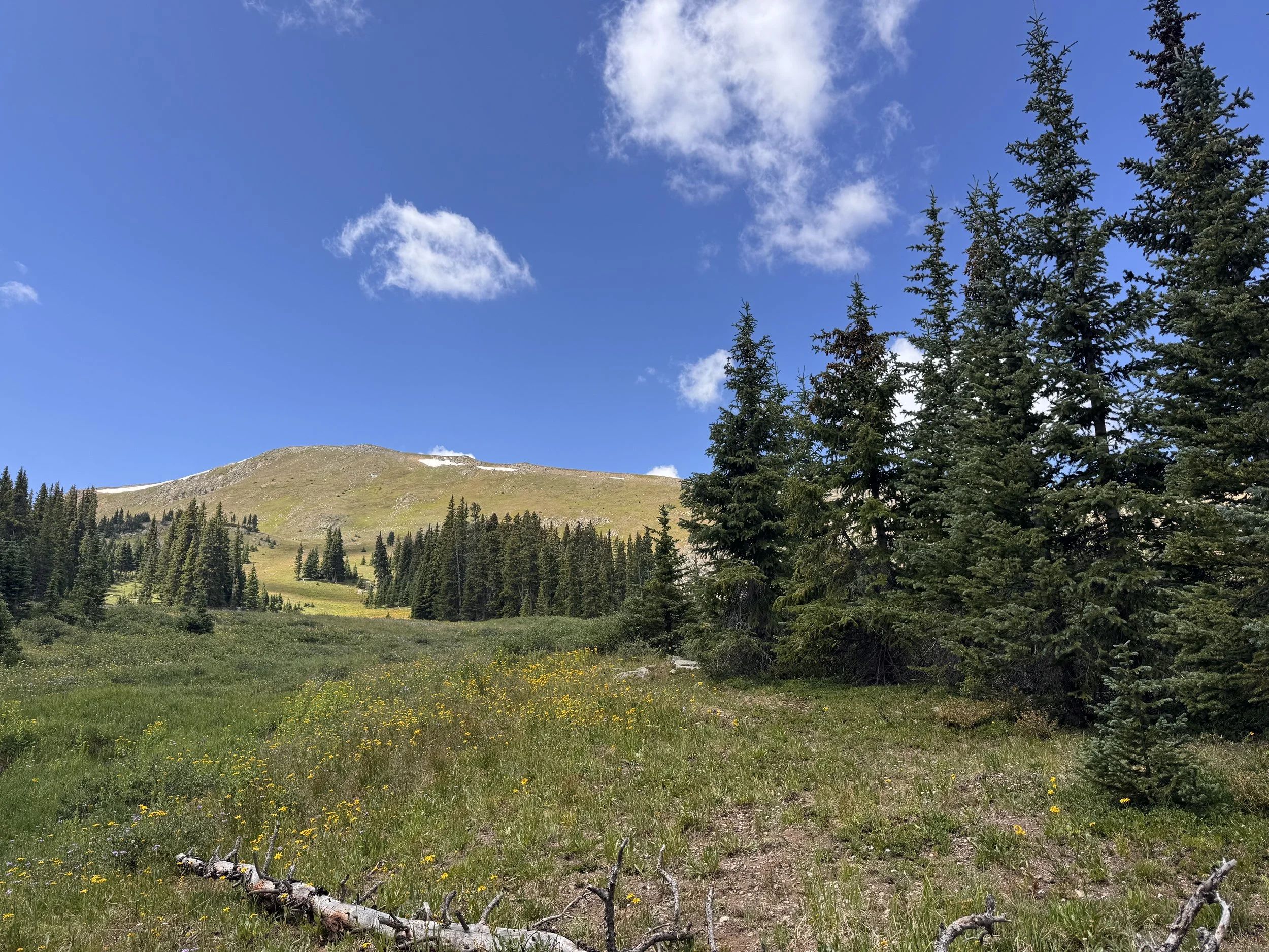
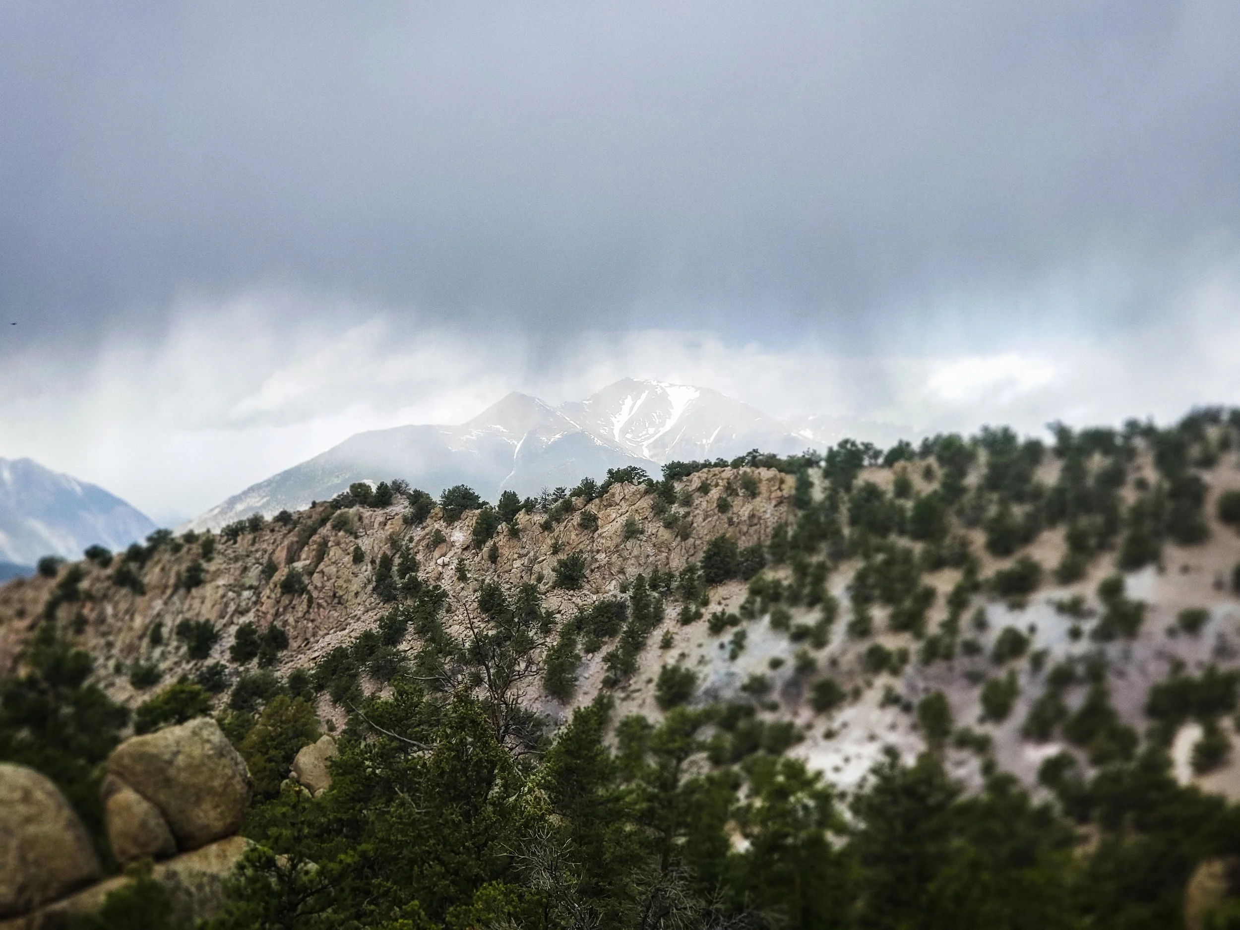
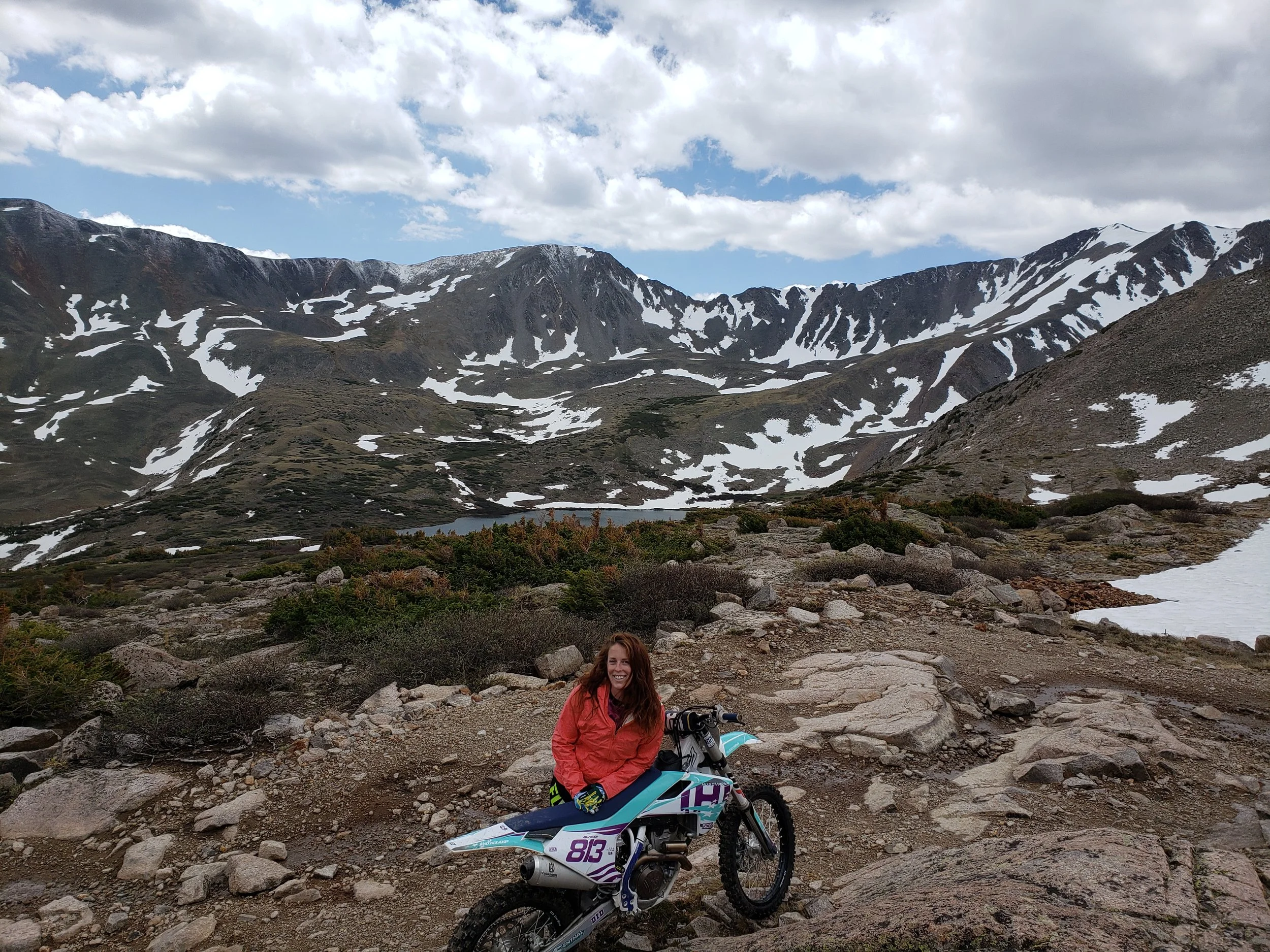
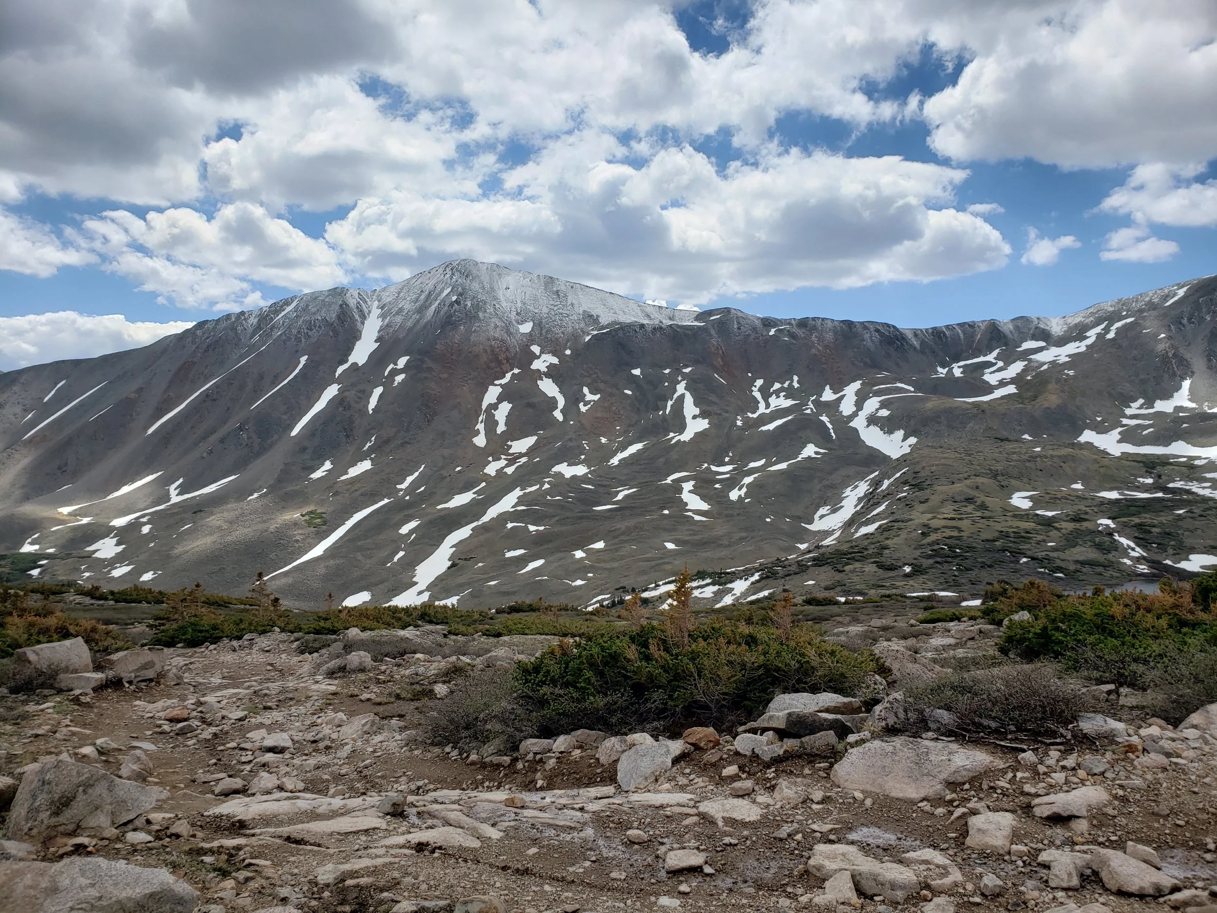
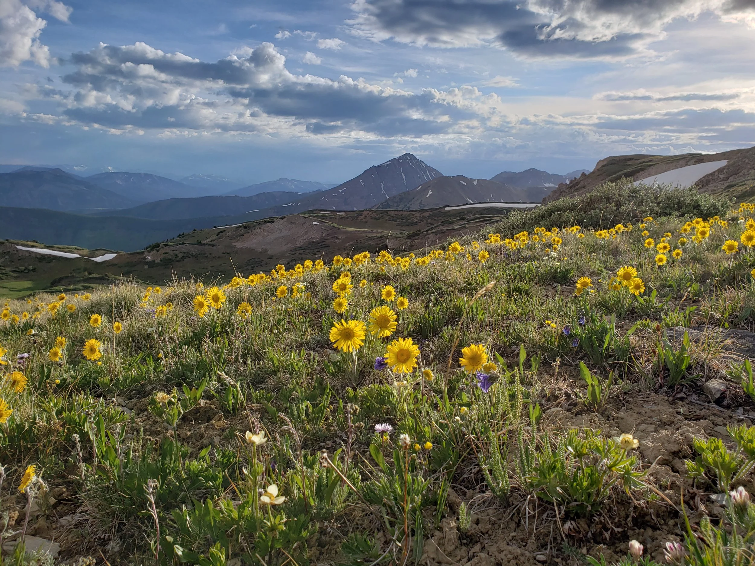
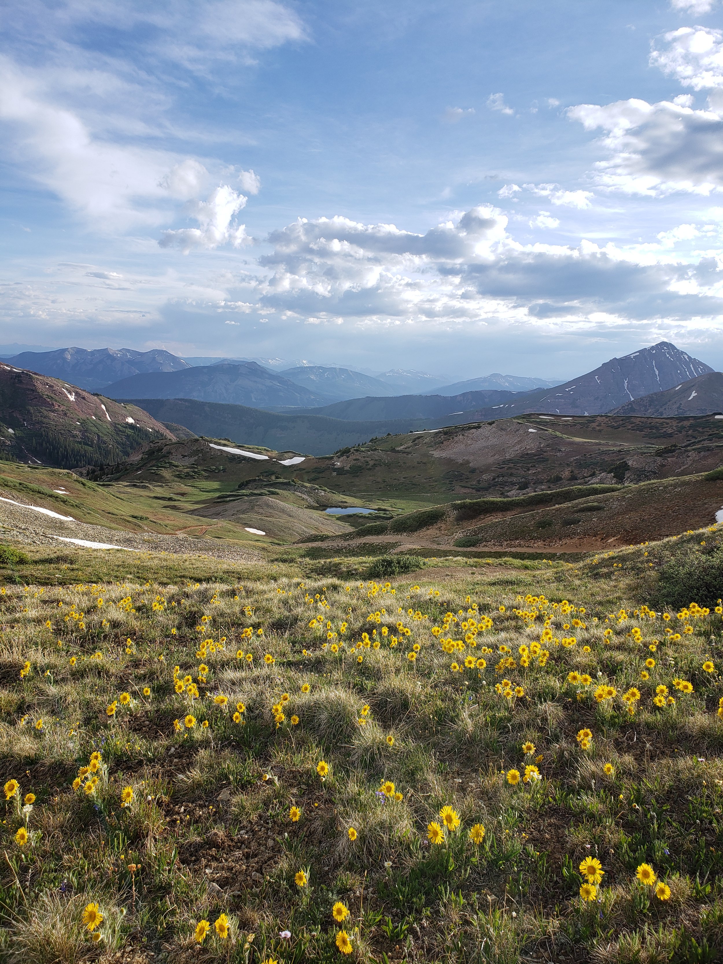
Pearl Pass
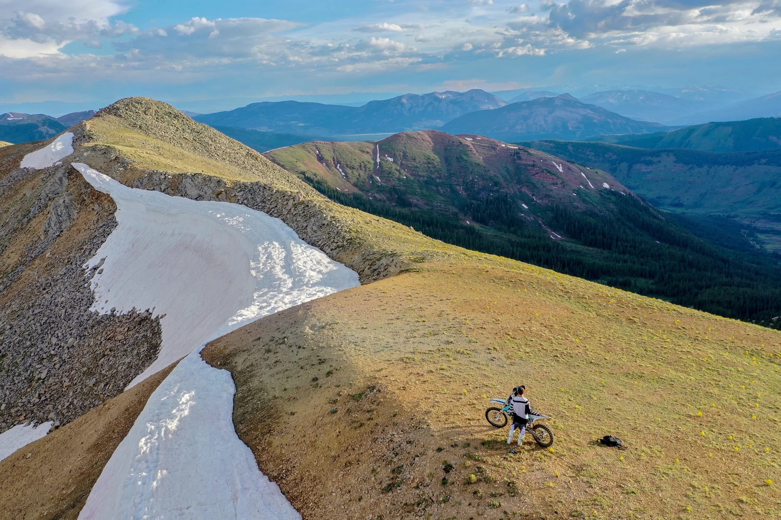
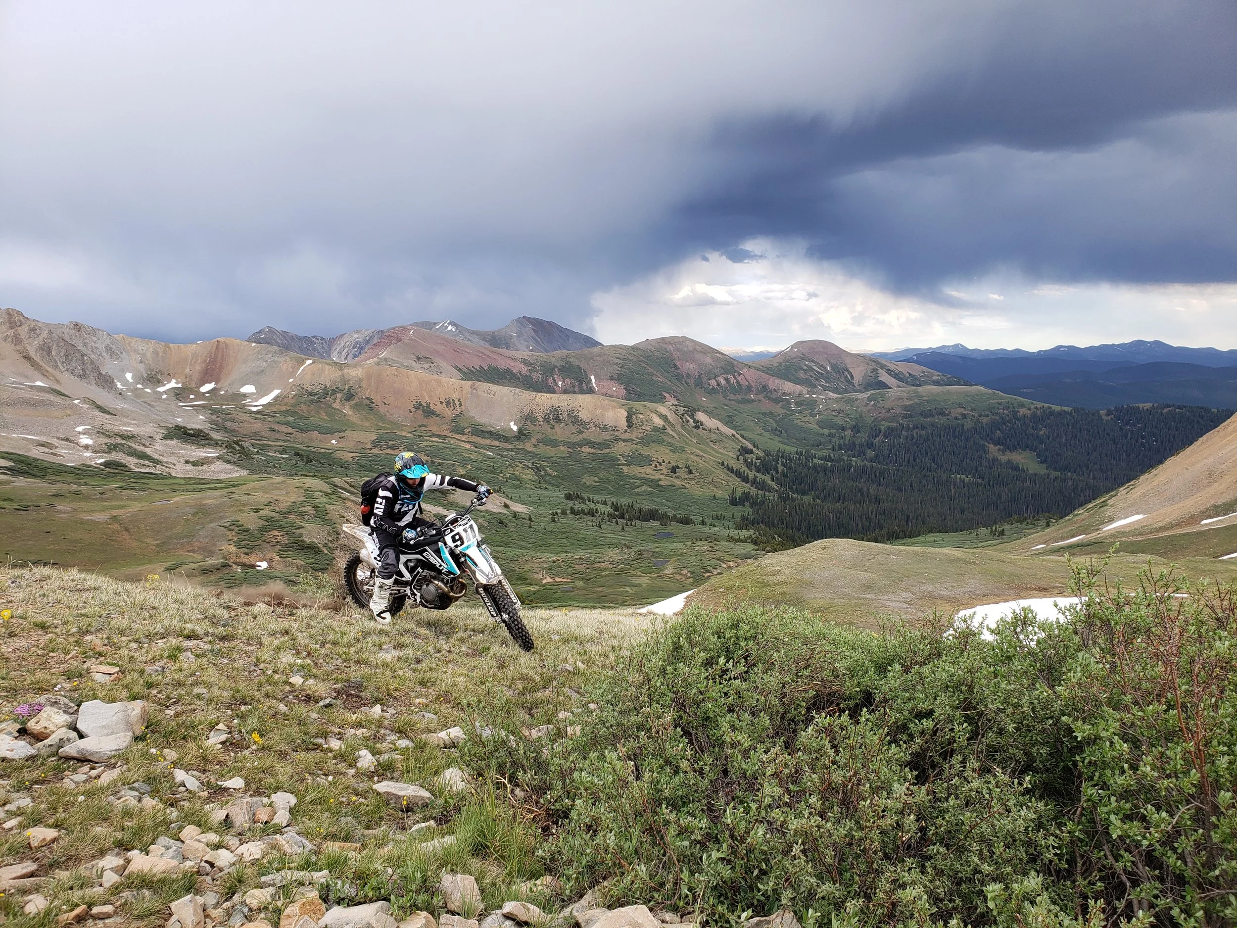
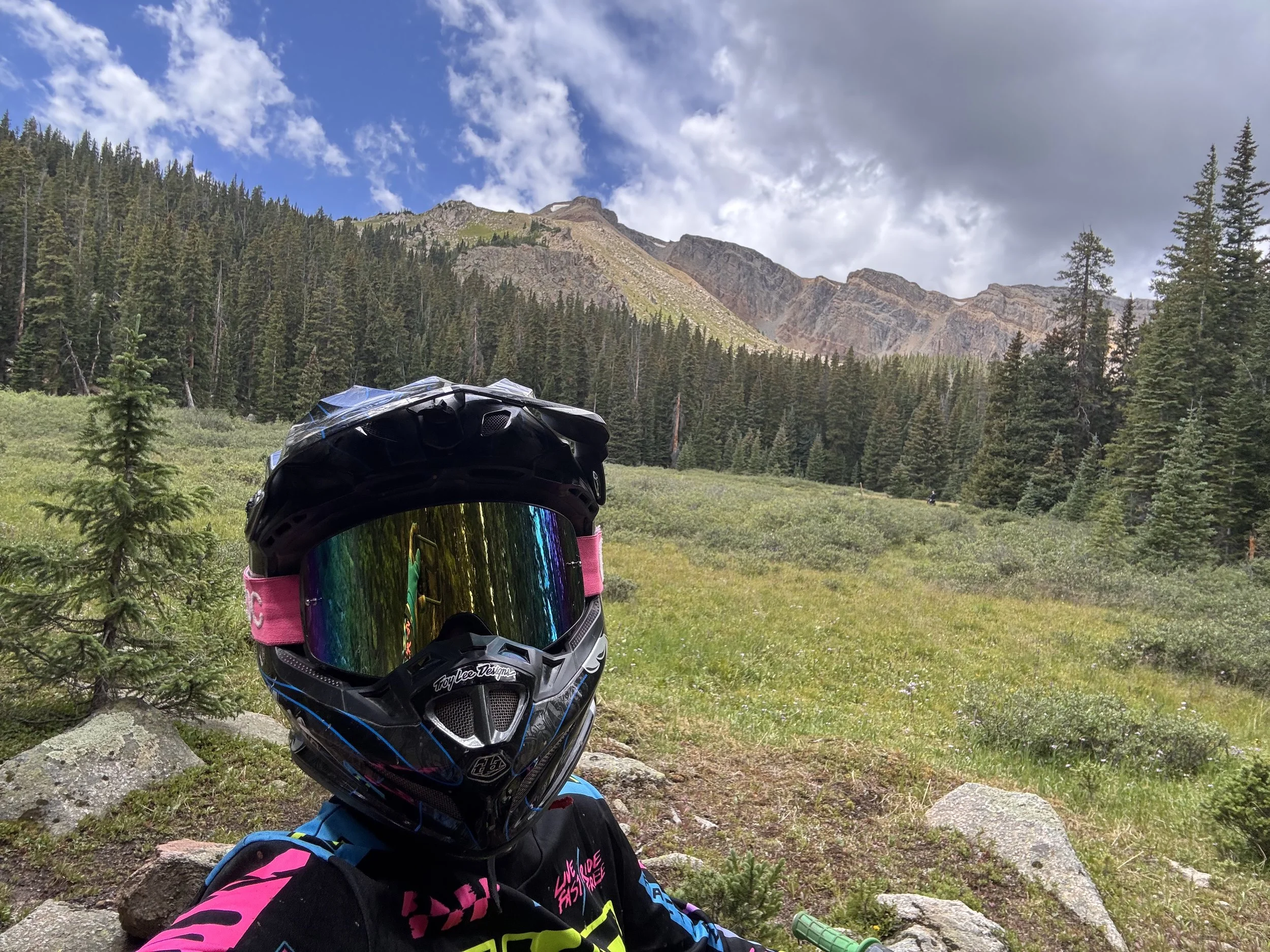
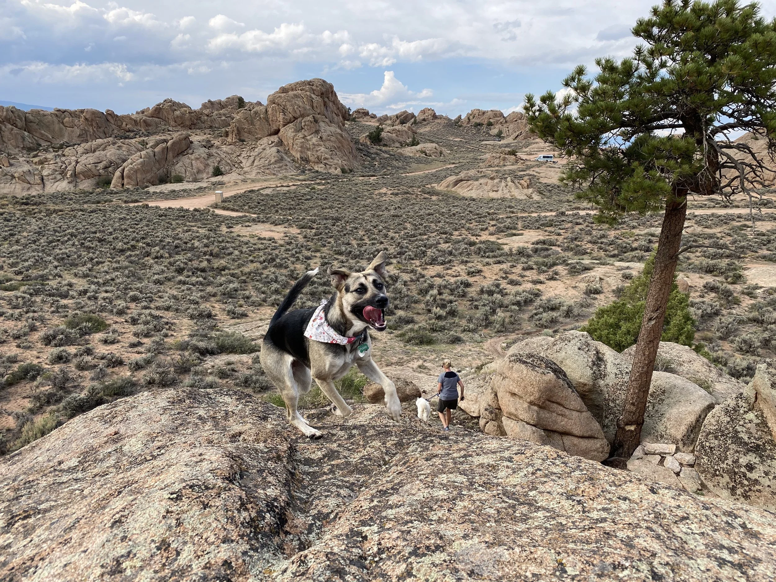
We rode Pearl Pass during our stay.
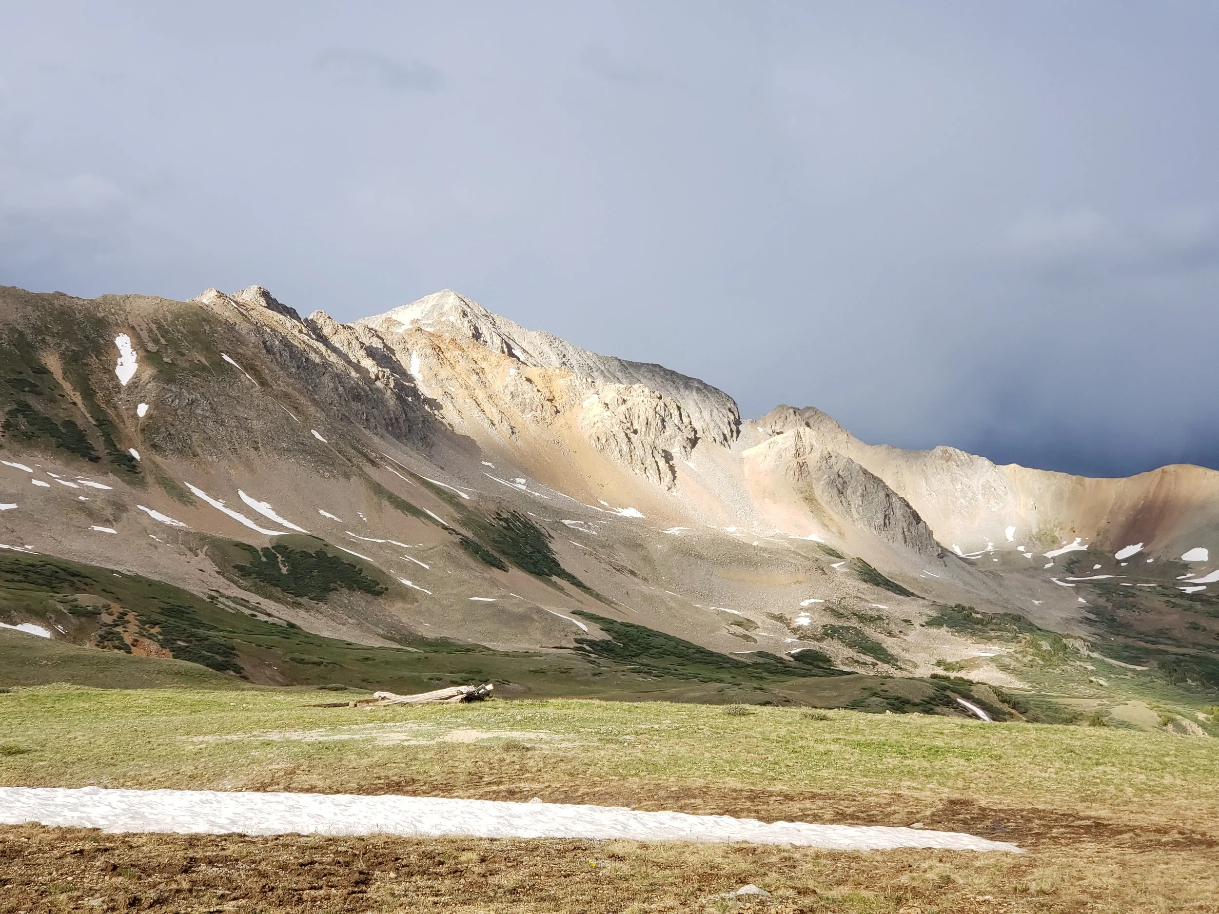
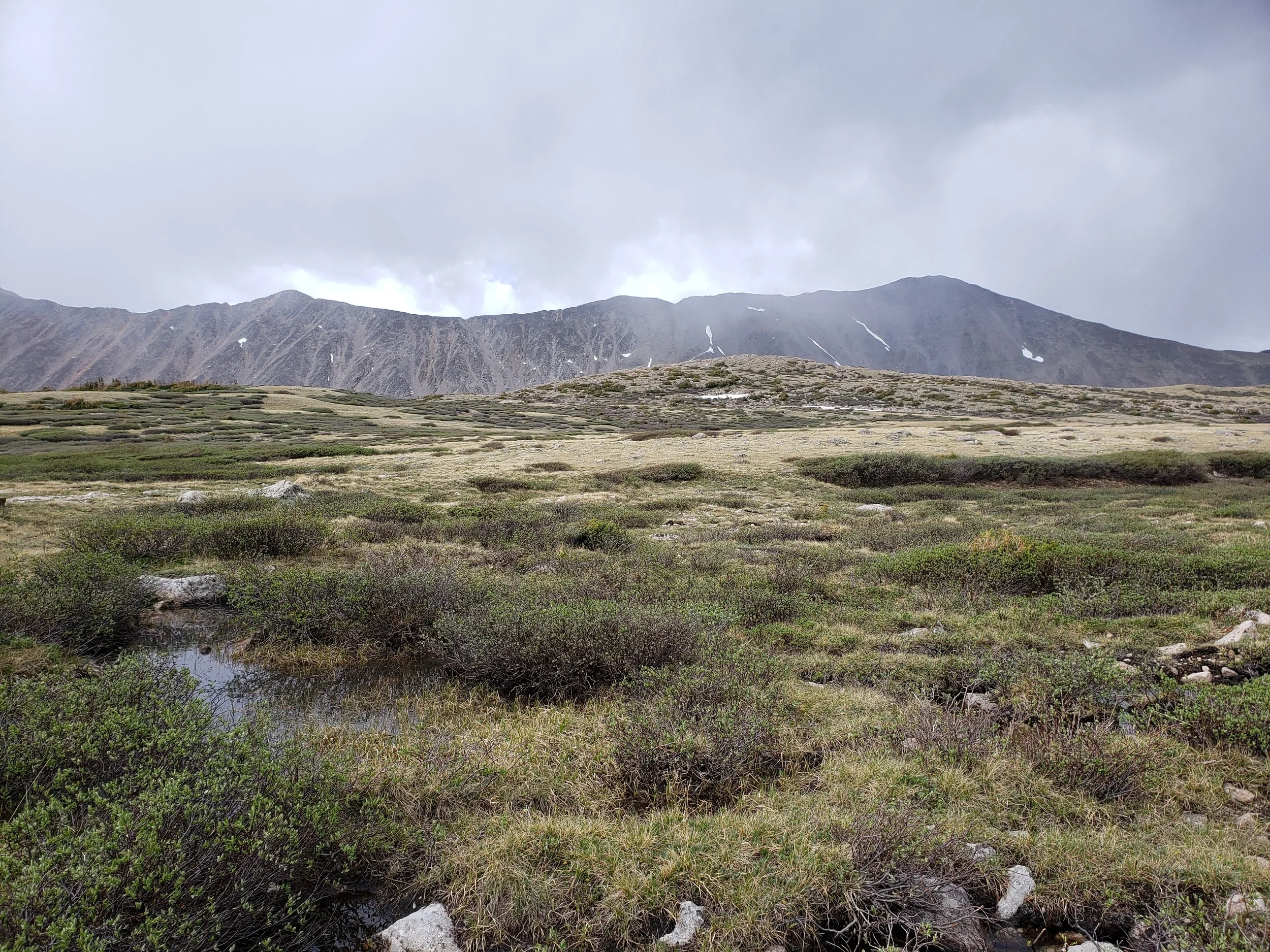
Pearl Pass is a scenic, high-elevation mountain route between the Crested Butte area and Aspen side of the mountains. The terrain can include large rocks, loose climbs, narrow sections, and lingering snow.
It offers impressive alpine scenery but should not be underestimated. Conditions can change dramatically from year to year and even from week to week.
Before riding Pearl Pass, check:
Snow coverage
Water crossings
Recent weather
Trail damage
Seasonal access
Thunderstorm risk
Fuel range
Whether the full route is passable
High-elevation routes also expose riders to rapid temperature changes and afternoon lightning.
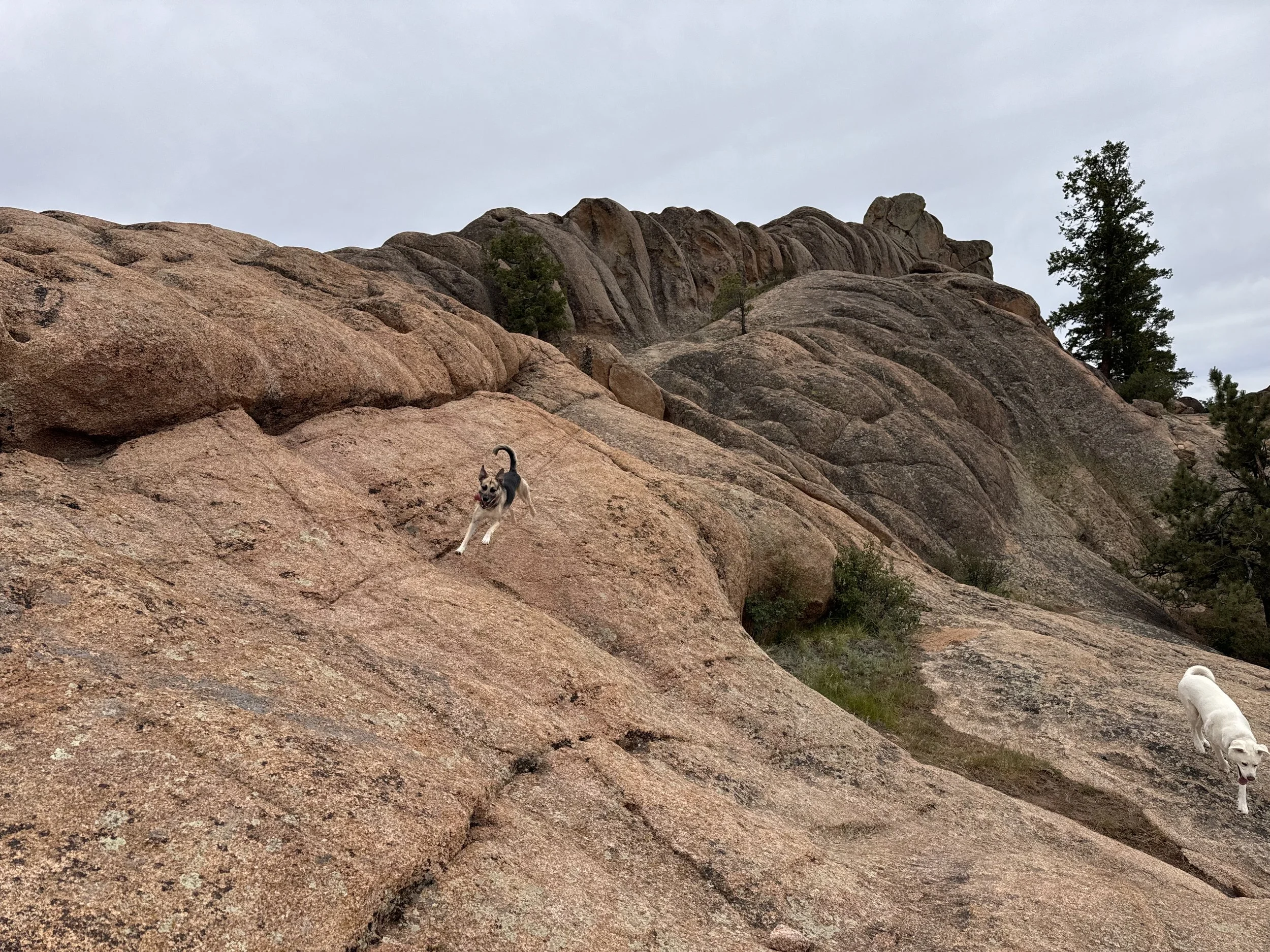
Hartman Rocks Near Gunnison
Hartman Rocks is another major riding destination south of Gunnison.
Unlike the forested, high-elevation terrain near Crested Butte and Taylor Park, Hartman Rocks offers a drier landscape with granite formations, open terrain, technical rock features, and an interconnected trail system.
The area supports several forms of recreation, including:
Dirt biking
Mountain biking
Four-wheel driving
ATV riding
Hiking
Trail running
Rock climbing
Hartman Rocks is a useful alternative when higher trails remain snowy or muddy. Its lower elevation and more open terrain may make it rideable earlier in the season than alpine routes.
Other OHV Areas Within Day-Trip Range
Pitkin
Pitkin is a small mountain town southeast of Gunnison with access to mining roads, high mountain passes, and OHV routes.
It can be reached through routes near Ohio City and is commonly used as a base for exploring:
Cumberland Pass
Alpine Tunnel
Waunita Pass
Quartz Creek
Surrounding mining roads
Sargents and Tomichi Pass
The Sargents area east of Gunnison provides access to additional motorized terrain around Tomichi Pass, Old Monarch Pass, and the Continental Divide.
This area may appeal to riders looking for a less crowded alternative to Taylor Park.
Paradise Divide and Schofield Pass
The Paradise Divide and Schofield Pass area lies northwest of Crested Butte.
These routes are known for dramatic mountain scenery, waterfalls, narrow roads, rocky terrain, and exposure. Schofield Pass in particular has serious hazards and should only be attempted with an appropriate vehicle, skill level, and current local information.
Nearby Towns
Almont
Almont is the closest community to Rosey Lane Campground.
It sits near the junction of the Taylor River and East River and acts as the gateway to Taylor Canyon. The community is very small, so travelers should not expect a full grocery store, large fuel station, pharmacy, or extensive RV services.
Almont is most useful for:
River access
Fishing
Rafting
Lodging
Guided outdoor activities
Access to Taylor Canyon
Access to Doctor Park
For major supplies, Gunnison is the more practical option.
Crested Butte
Crested Butte is the primary sightseeing and dining destination near the campground.
The town offers:
Restaurants
Coffee shops
Shopping
Historic buildings
Mountain-bike access
Hiking
Wildflower viewing
Seasonal events
Elk Avenue is the main commercial street.
Large RVs are not practical in downtown Crested Butte. It is best to leave the trailer at camp and visit in the tow vehicle.
Crested Butte is also a useful access point for Brush Creek, Cement Creek, Pearl Pass, Paradise Divide, and nearby single-track.
Gunnison

Gunnison is the largest nearby town and the best location for practical travel needs.
Travelers can find:
Full-size grocery stores
Fuel and diesel
Hardware stores
Pharmacies
Restaurants
Outdoor-equipment stores
Repair services
Medical care
Laundry
RV and camping supplies
Gunnison is also the closest town to Hartman Rocks.
Anyone staying at Rosey Lane for more than a few days should consider completing a full grocery, fuel, water, and supply run in Gunnison before heading deeper into Taylor Canyon.
Taylor Park
Taylor Park is a broad recreation area rather than a conventional town.
Services are limited and seasonal. The area includes a trading post, restaurant, lodging, fuel availability in some seasons, campgrounds, and access to Taylor Park Reservoir.
Travelers should bring most essential supplies with them rather than assuming everything will be available near the reservoir.
Taylor Park is best for:
Dirt biking
ATV and side-by-side riding
Four-wheel driving
Fishing
Boating
Camping
Mountain-pass exploration
Historic mining routes
Buena Vista (and nearby Nathrop)

Buena Vista lies east of the Continental Divide and can be reached from the Taylor Park region by traveling over Cottonwood Pass when it is open.
The town provides:
Groceries
Fuel
Restaurants
Hot springs
Rafting access
Outdoor stores
Camping supplies
Arkansas River recreation
Cottonwood Pass is paved, but it remains a high mountain route with steep grades and changing weather. Large-RV travelers should verify current conditions and decide whether the route is appropriate for their setup.
Mountain Biking
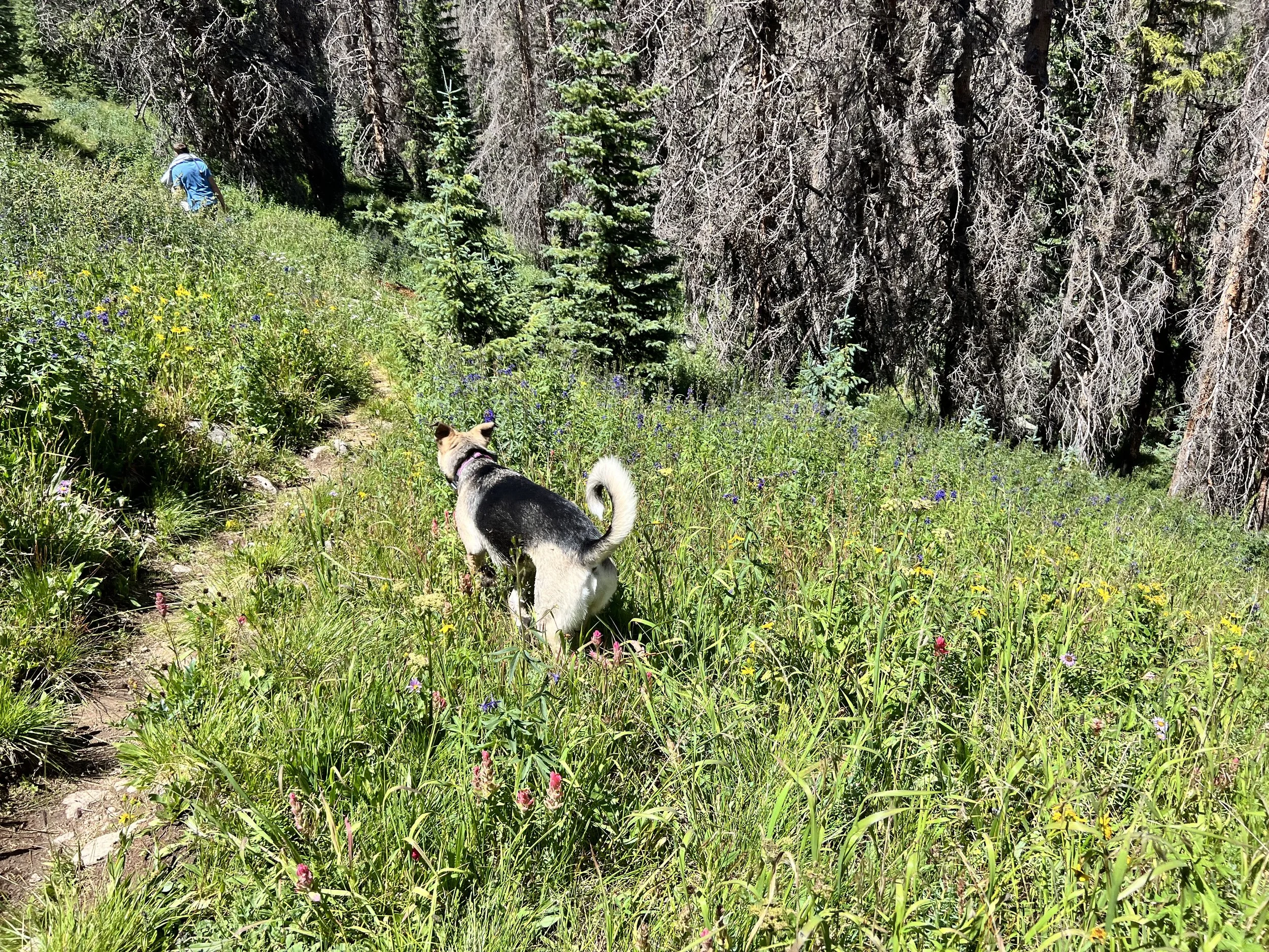
Jonathan also mountain biked during our stay.
The Gunnison Valley has an extensive mountain-bike trail network, with options around:
Doctor Park
Crested Butte
Cement Creek
Brush Creek
Hartman Rocks
Taylor Canyon
Gunnison
Many trails are shared by mountain bikers, hikers, equestrians, and dirt bikers. Riders should slow down around other trail users and confirm right-of-way rules.

Wildflower Timing
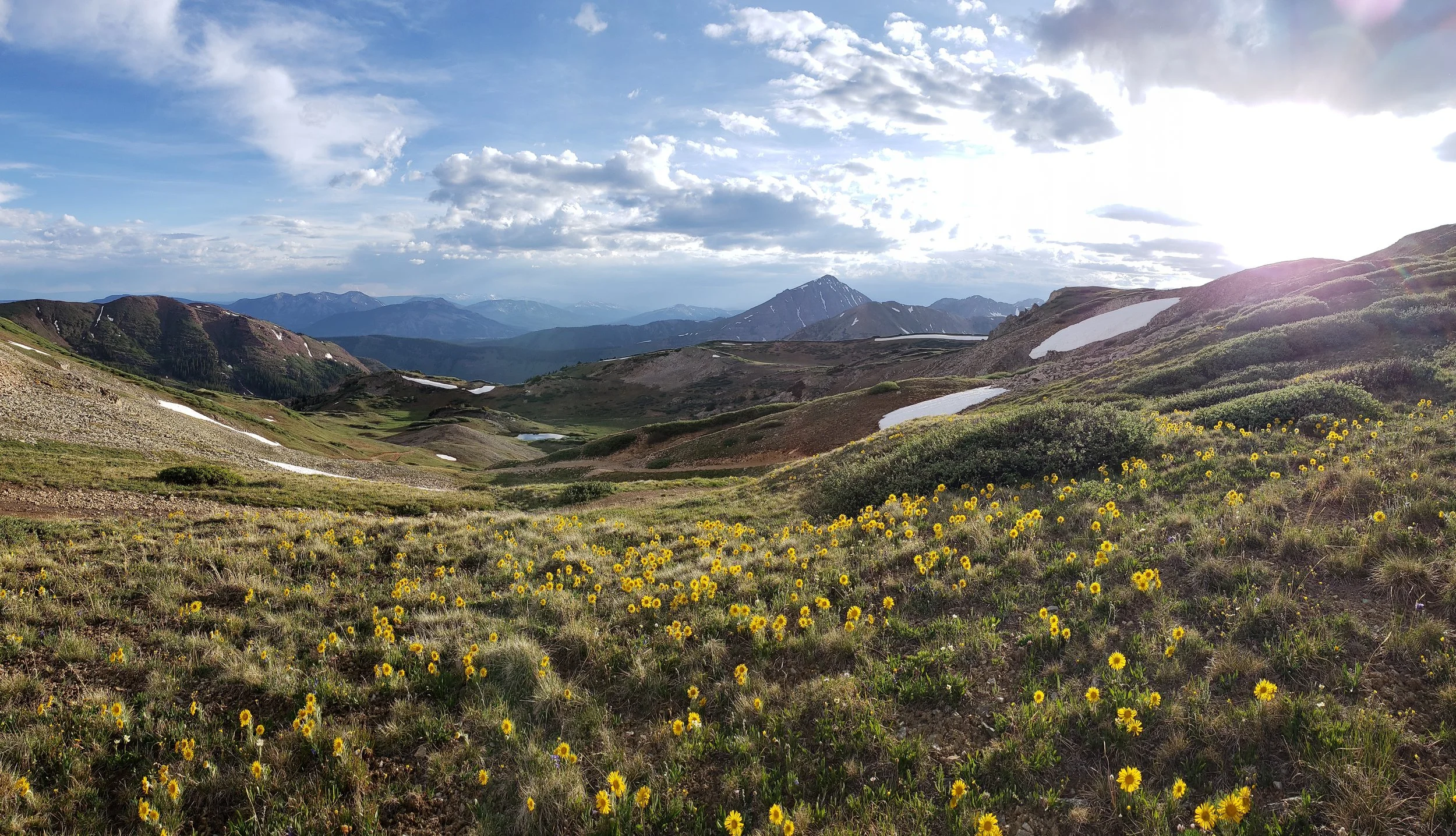
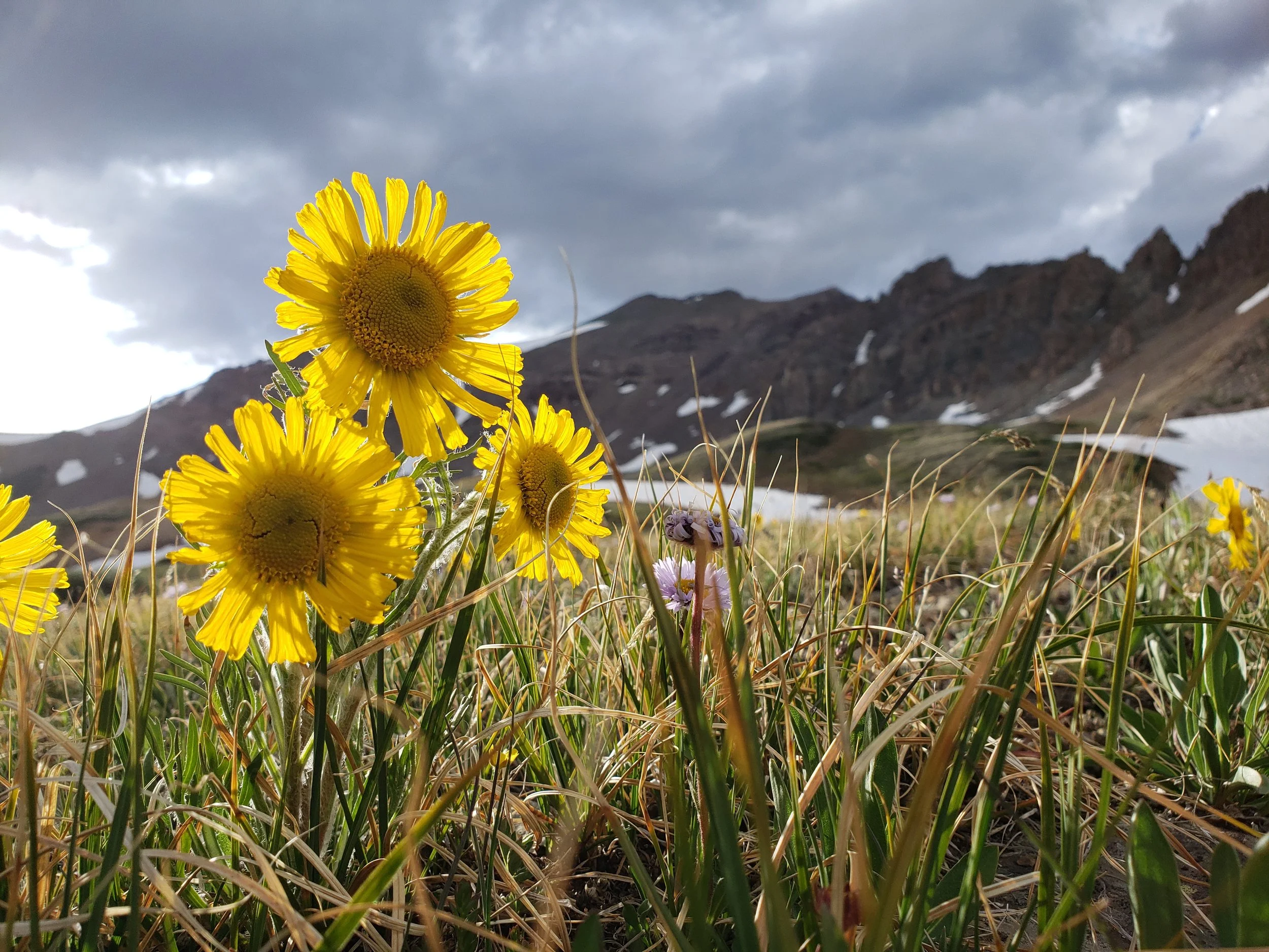
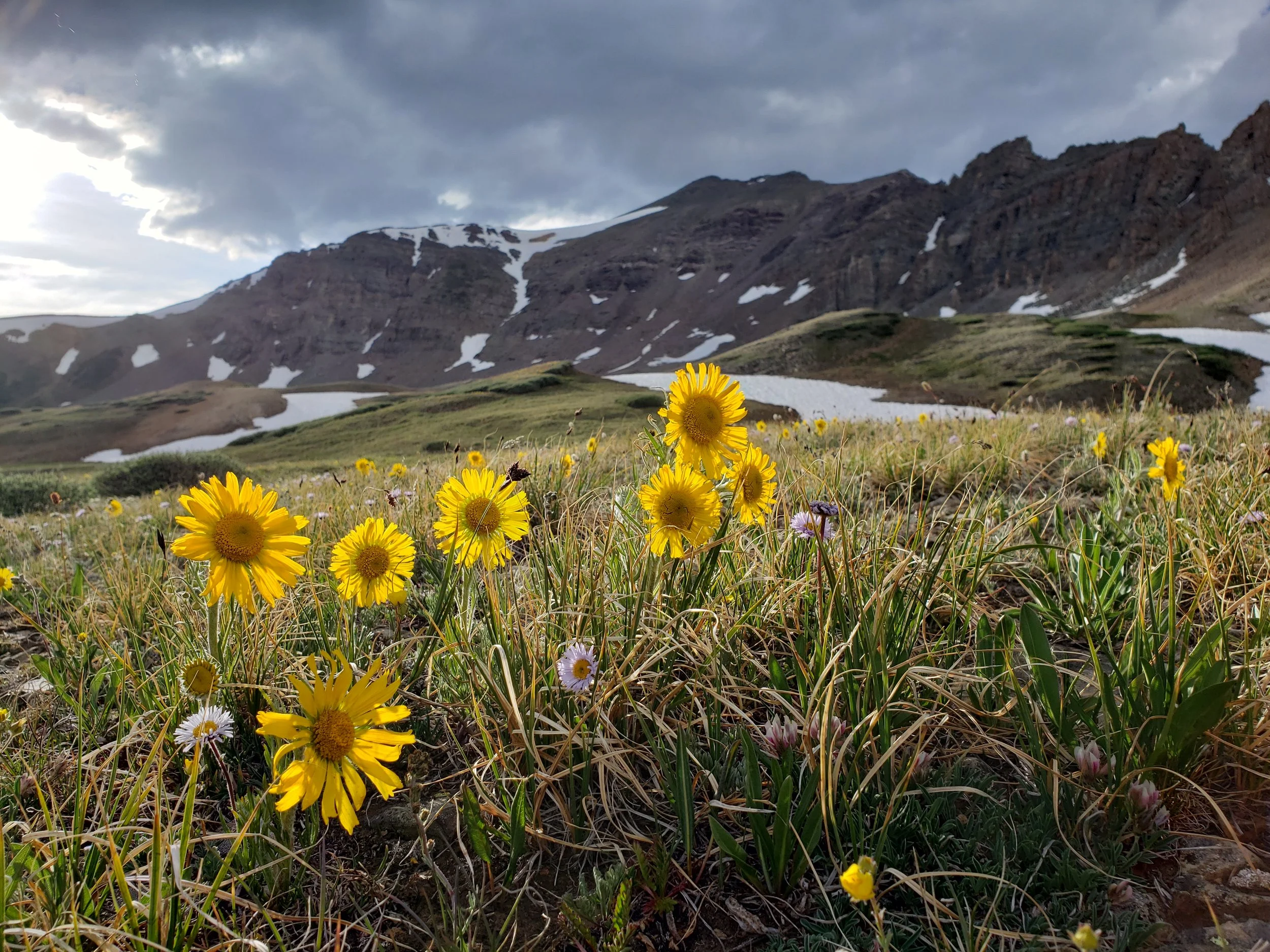
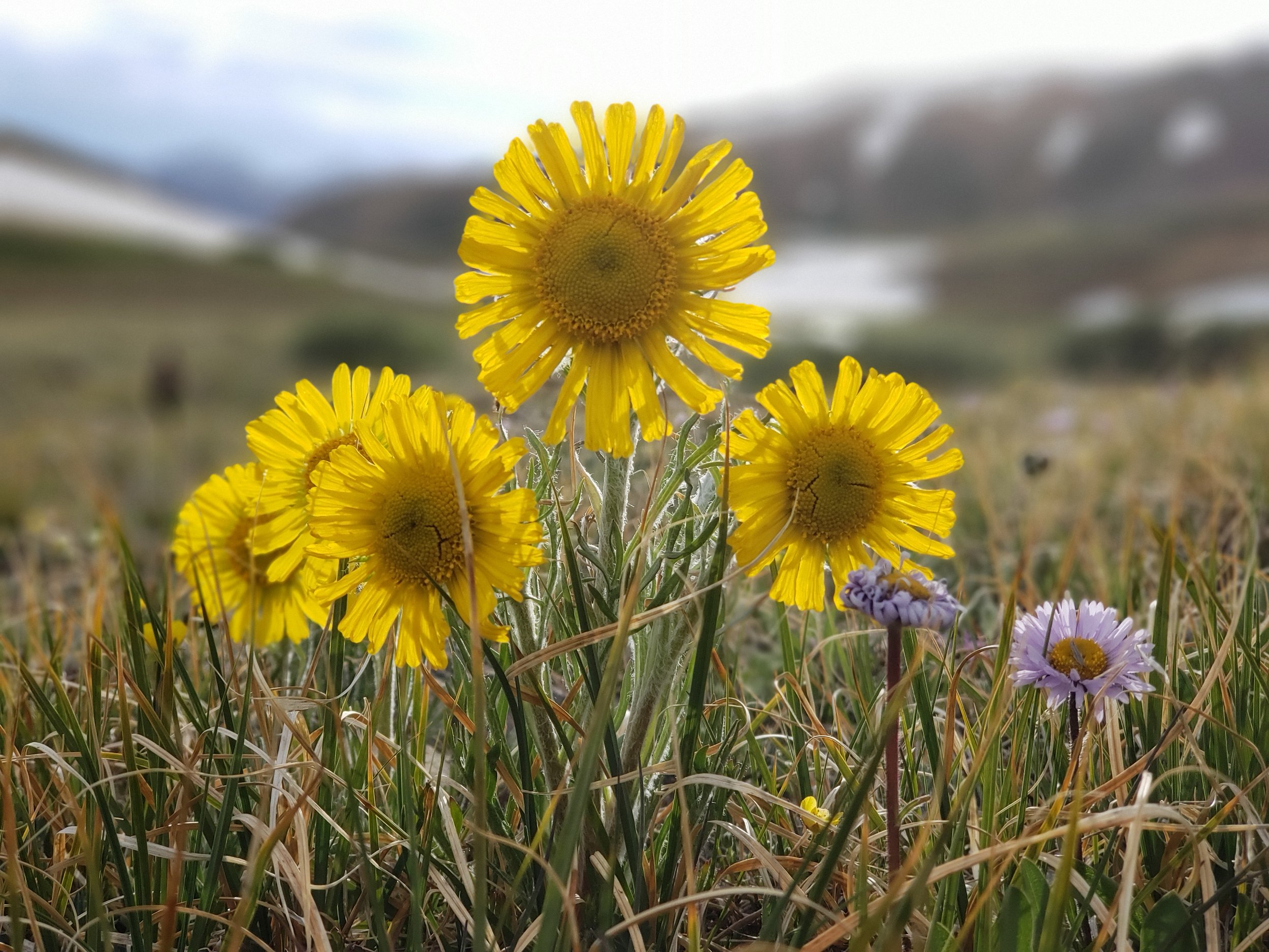
We arrived a little early for peak wildflower season.
The scenery was still beautiful, but the large summer wildflower displays around Crested Butte had not fully developed. The timing varies each year based on snowpack, spring temperatures, runoff, and rainfall.
Coming earlier in the season may mean:
Fewer crowds during the week
Cooler temperatures
Lingering snow on high trails
Mud or runoff
Downed trees
Fewer wildflowers
Limited access to mountain passes
Fuel and RV Dump Logistics
Rosey Lane does not have an RV dump station.
We emptied our tanks later at the Poncha Springs Visitor Center for $10.
We also fueled at the Citgo in Poncha Springs near the junction of U.S. Highway 50 and U.S. Highway 285. It worked well with our fifth wheel because it had:
High-speed diesel
A pull-through pump arrangement
No low canopy over the diesel lane
Enough room to approach with the RV attached
Travelers should verify that the station layout and dump facilities have not changed before relying on them.
What Went Well
We secured a creekside pull-through site.
The concrete pad kept the camper level and out of the dirt.
The paved campground roads were clean.
The Taylor River created a peaceful setting.
The dogs had easy access to the water.
The campground hosts were friendly.
Weekdays were quiet.
The location gave us access to several riding zones.
We rode both mountain-pass terrain and motorcycle single-track.
Gunnison and Crested Butte were accessible for supplies and sightseeing.
Challenges
Tight Access for Our Fifth Wheel
The campground was significantly tighter than expected. Our arrival only worked because the first pull-through site was open.
Low Tree Branches
We had to trim branches while leaving to protect the camper.
No Dump Station
We needed to plan a separate dump stop later in the trip.
Cold River Water
Pickles became extremely cold while retrieving sticks but did not want to stop playing.
Early-Season Trail Conditions
We were early for both peak wildflowers and fully open high-country trails. Snow, mud, runoff, and fallen trees can all affect access.
Recommended Trip Preparation
Before visiting Rosey Lane and the surrounding riding areas:
Reserve a campsite appropriate for your exact RV length.
Study the campground map and satellite imagery.
Confirm campground-road and tree clearance.
Fill your freshwater tank.
Arrive with empty waste tanks when possible.
Identify a dump station for the return route.
Stock up in Gunnison.
Carry extra dirt-bike fuel.
Download offline trail maps.
Check official motor-vehicle maps.
Verify trail-width restrictions.
Confirm fire restrictions.
Check pass and road conditions.
Pack for cold mornings and afternoon storms.
Carry rain gear and insulating layers while riding.
Do not assume high-elevation passes are open.
Keep dogs from remaining too long in the cold river.
Trip Ratings
Overall trip: 8/10
Campground setting: 9/10
Campground cleanliness: 10/10
Value: 9/10
Dirt-bike access: 9/10
Variety of nearby riding: 10/10
Mountain biking: 9/10
Dog friendliness: 9/10
Big-rig friendliness: 4/10
Access to groceries and services: 7/10
Would we stay again? Yes
Final Assessment
Rosey Lane Campground worked well as a central base camp for exploring Almont, Crested Butte, Taylor Park, and Gunnison.
Its strongest features were the Taylor River setting, concrete camping pad, paved roads, clean facilities, reasonable nightly price, and access to multiple OHV and single-track riding areas.
Its main weakness was large-RV access. Although our site physically accommodated our fifth wheel, maneuvering through the campground was only possible because the first pull-through site was vacant.
We would stay here again, but we would specifically target the same pull-through area and confirm access before arriving.
For dirt bikers, mountain bikers, anglers, and campers who enjoy basic campgrounds near extensive public-land recreation, Rosey Lane is a strong and affordable base camp. Large-rig travelers should approach it with considerably more caution.