Aeroplane Lake, B.C.


Aeroplane Lake Pullout — Stewart–Cassiar Highway
GPS: 59.302355, -129.282600
DMS: 59°18'08.5"N, 129°16'57.4"W
The pullout is on the east side of Highway 37 at approximately kilometre 627.6–627.7, about 96 kilometres south of the Alaska Highway/Highway 1 junction. It is easiest to access while traveling northbound; The Milepost describes it as a northbound turnout beside Aeroplane Lake.
Our experience
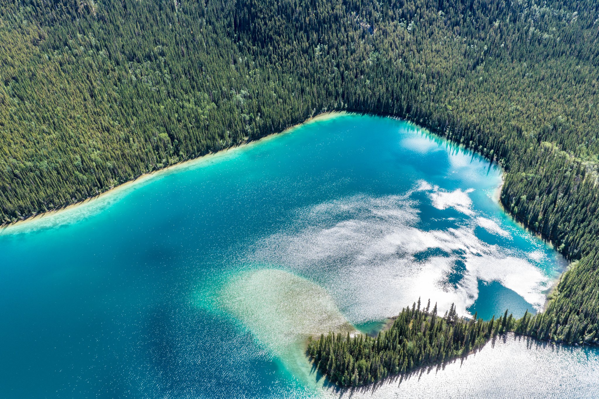
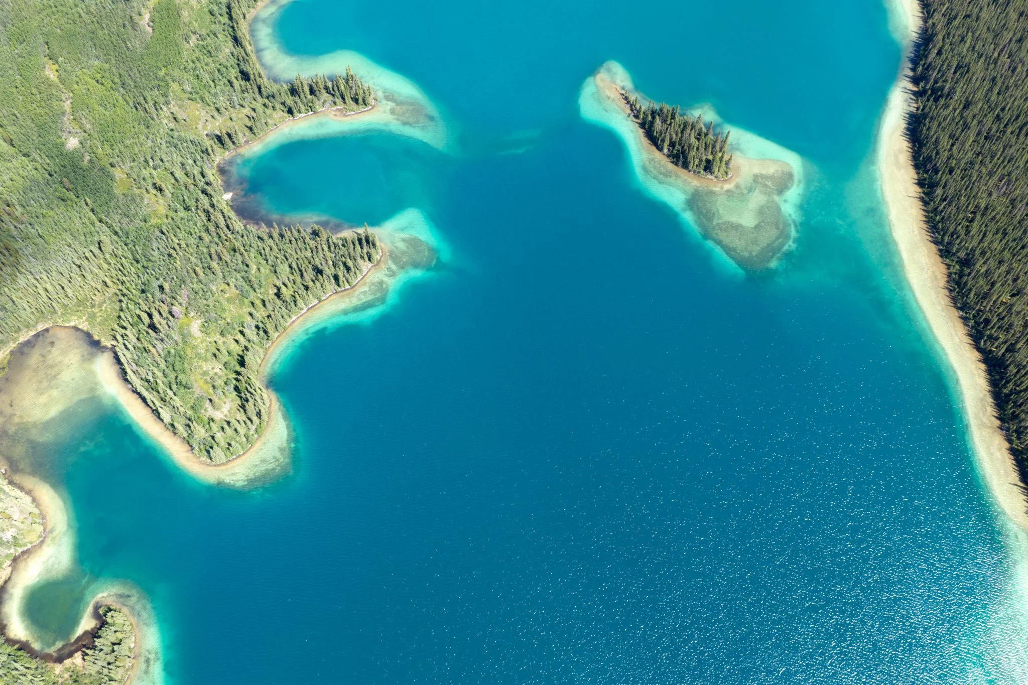
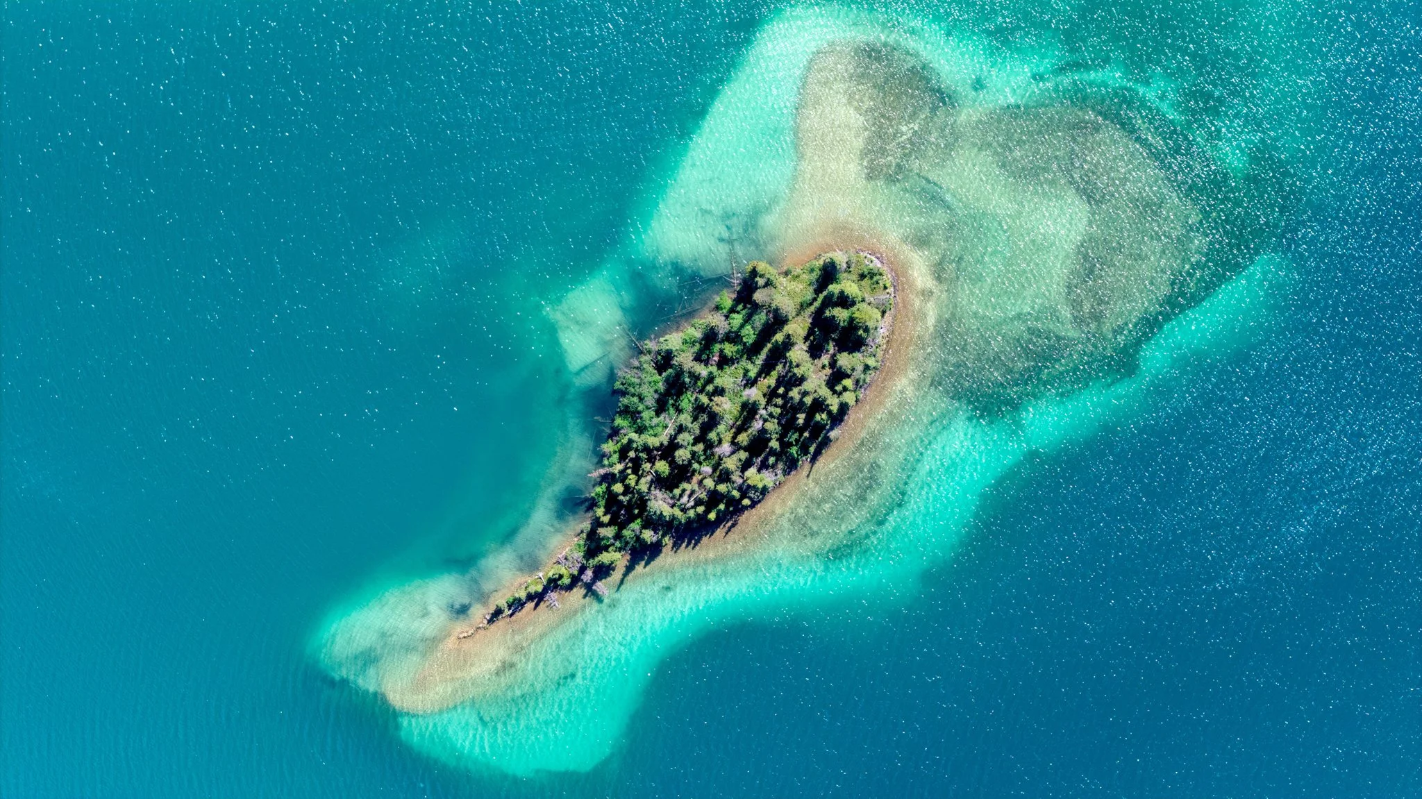
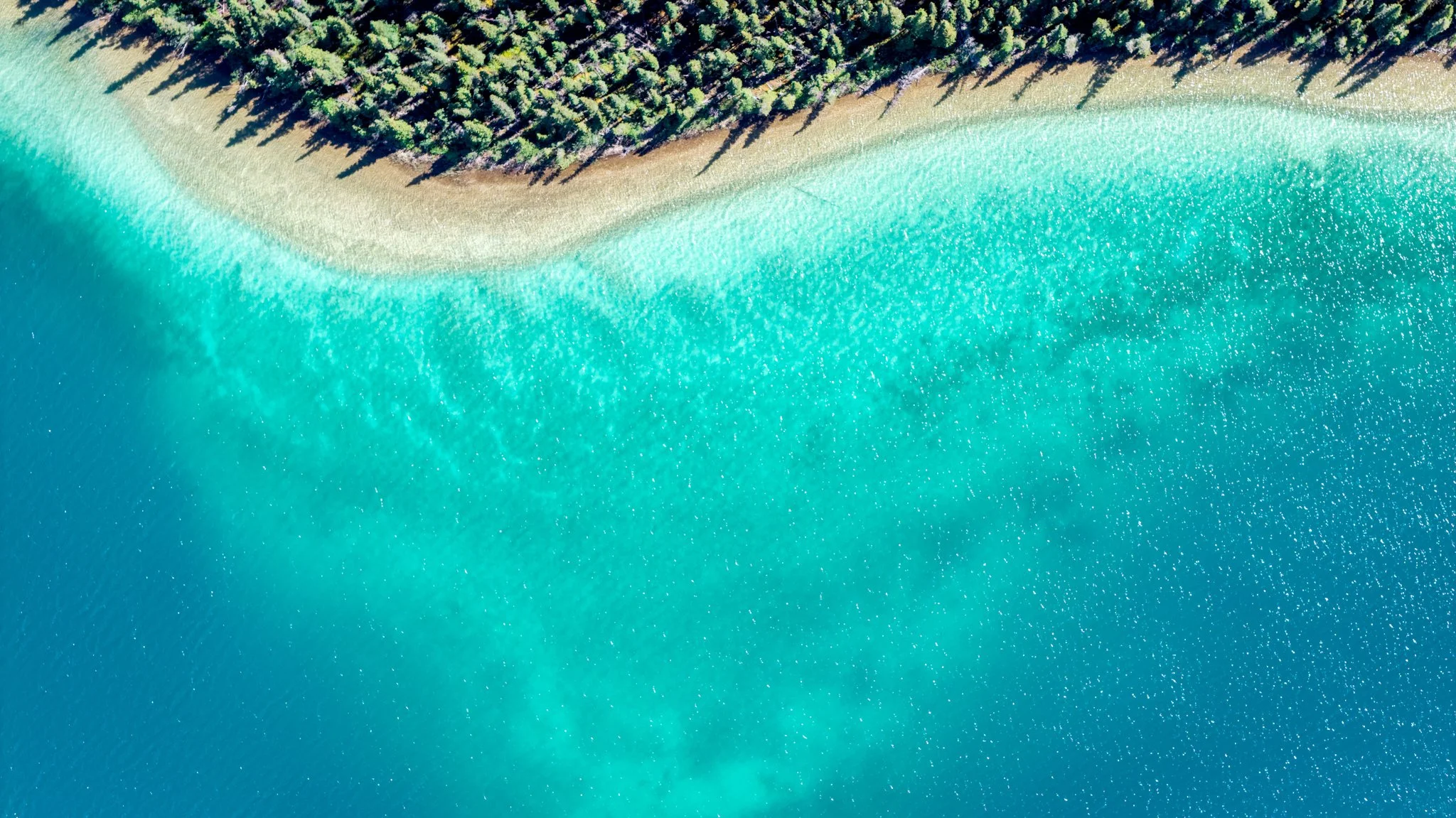
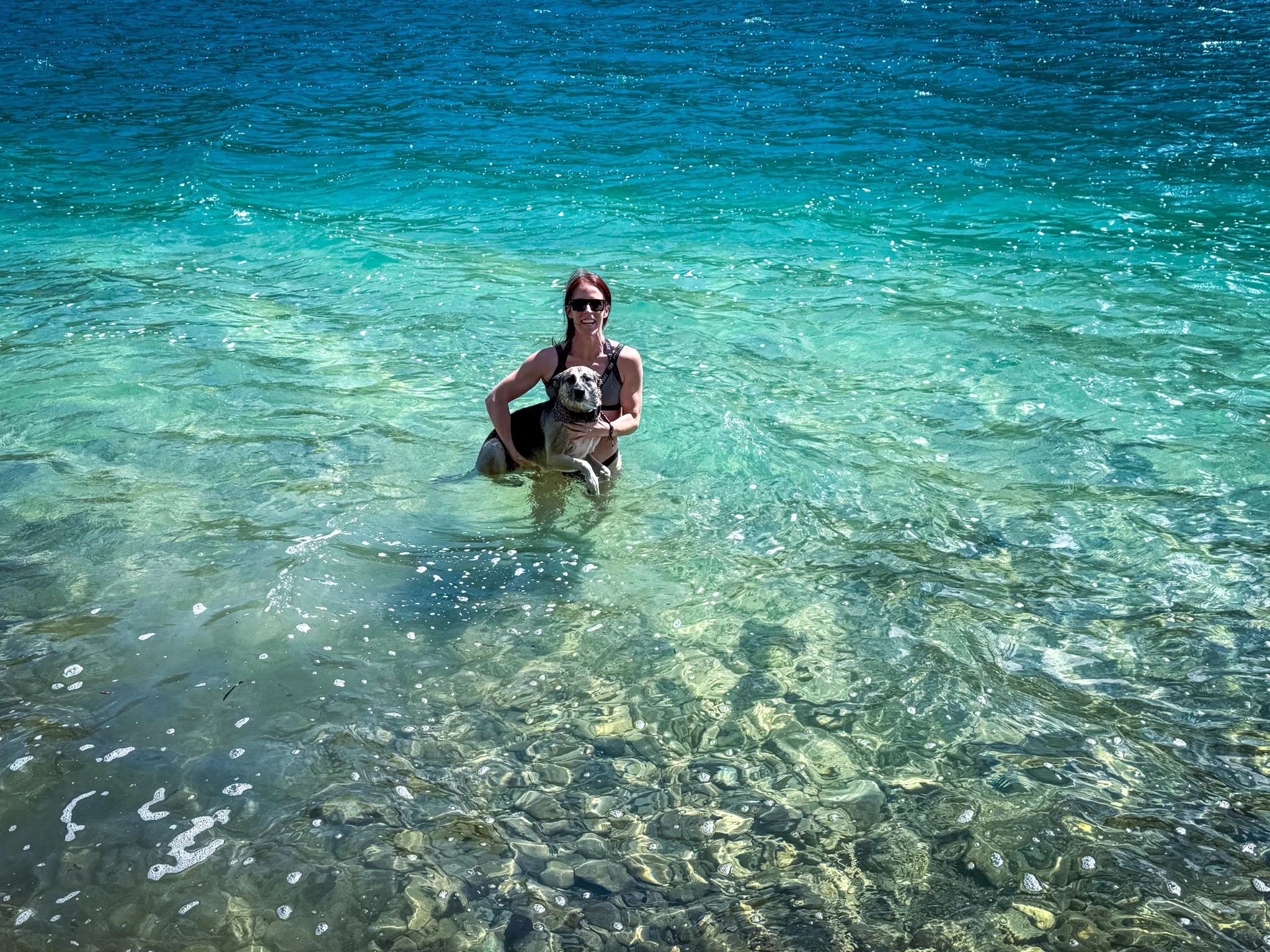
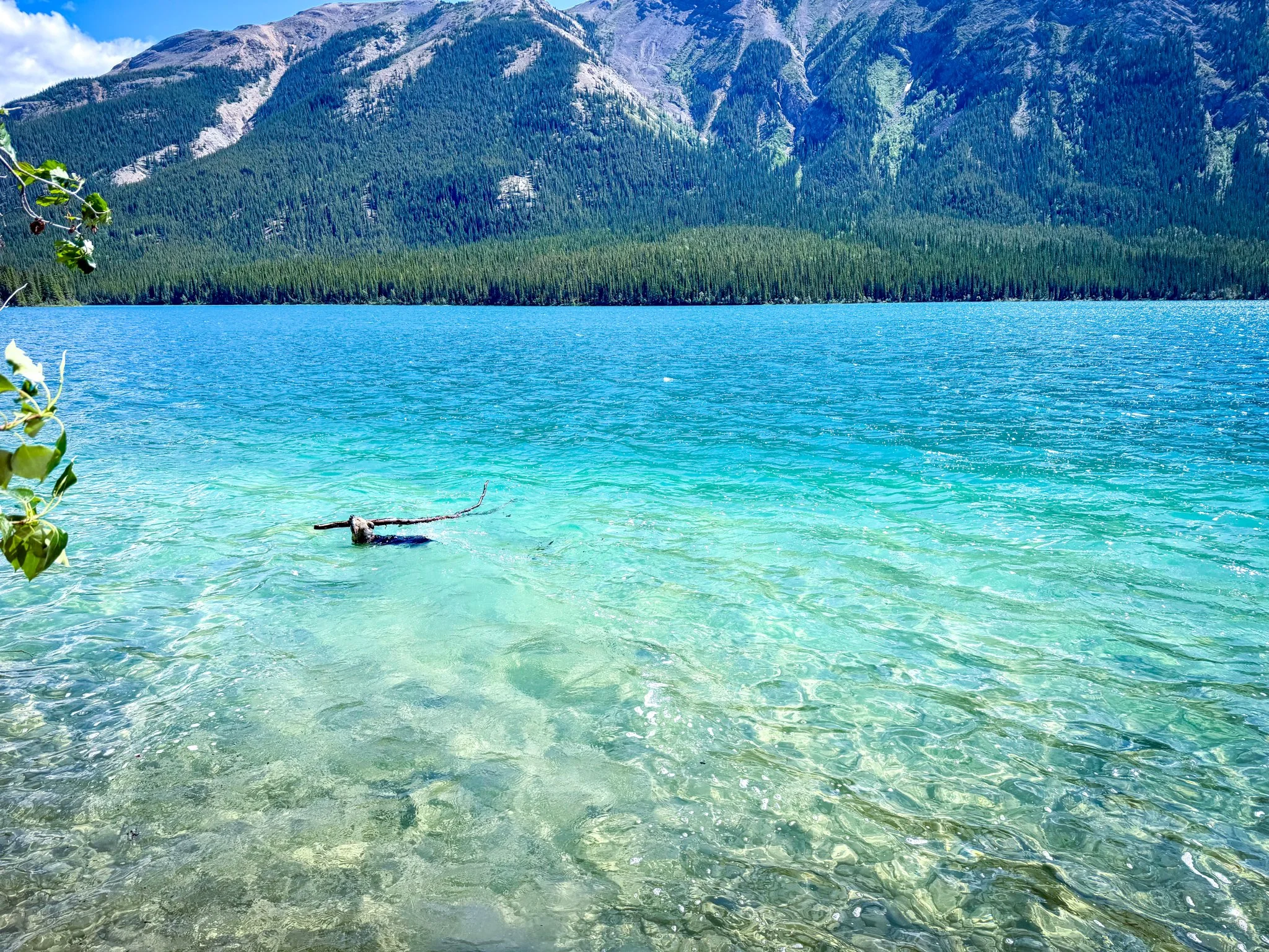
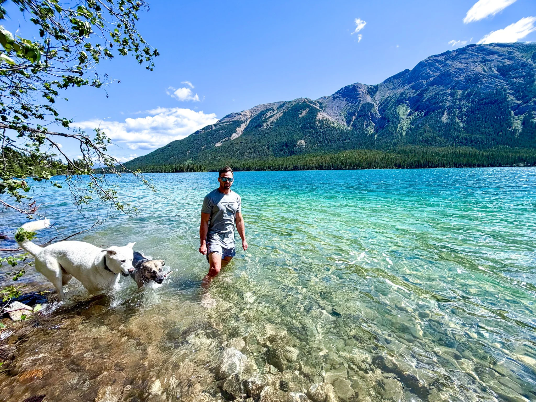
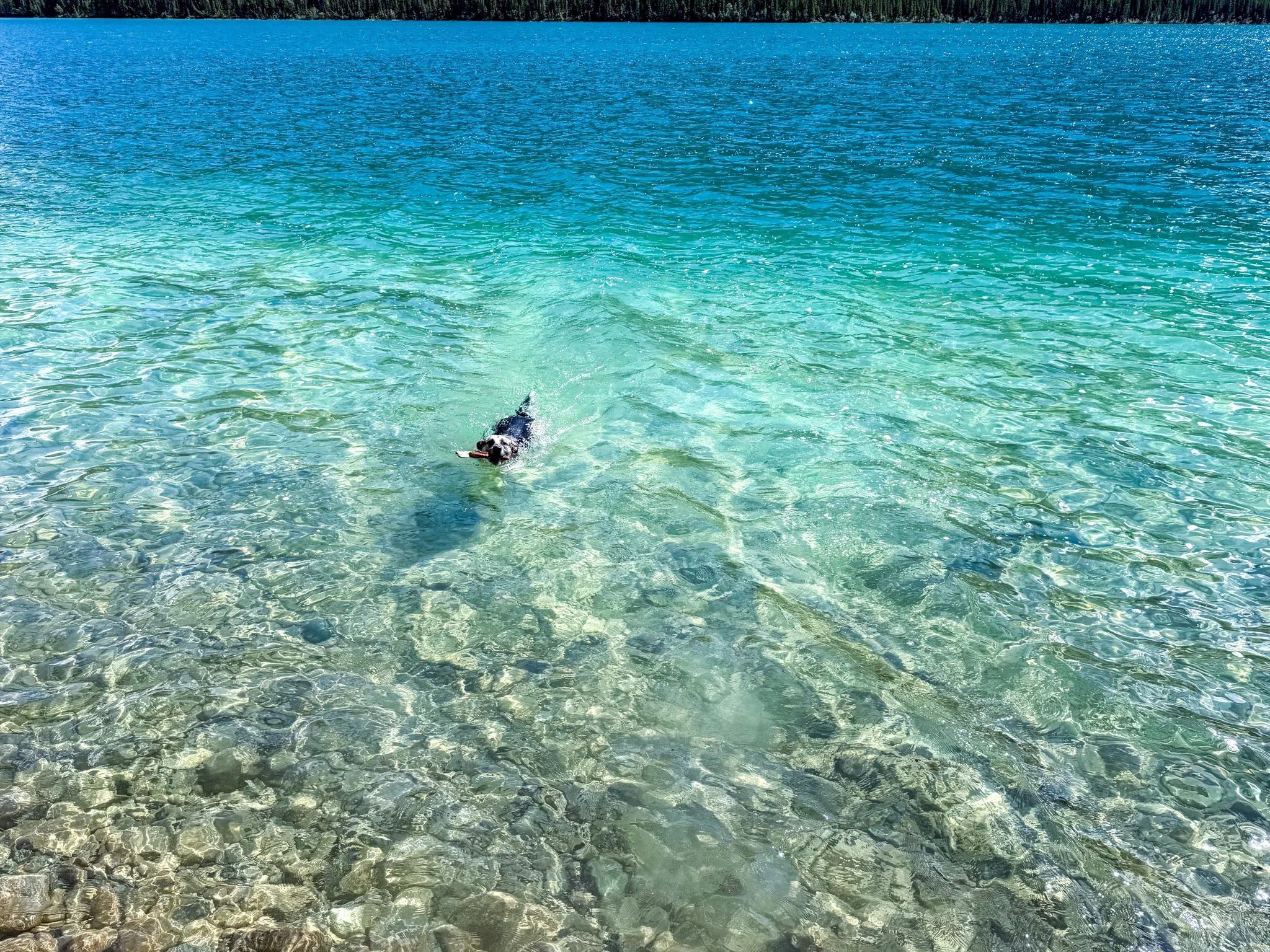
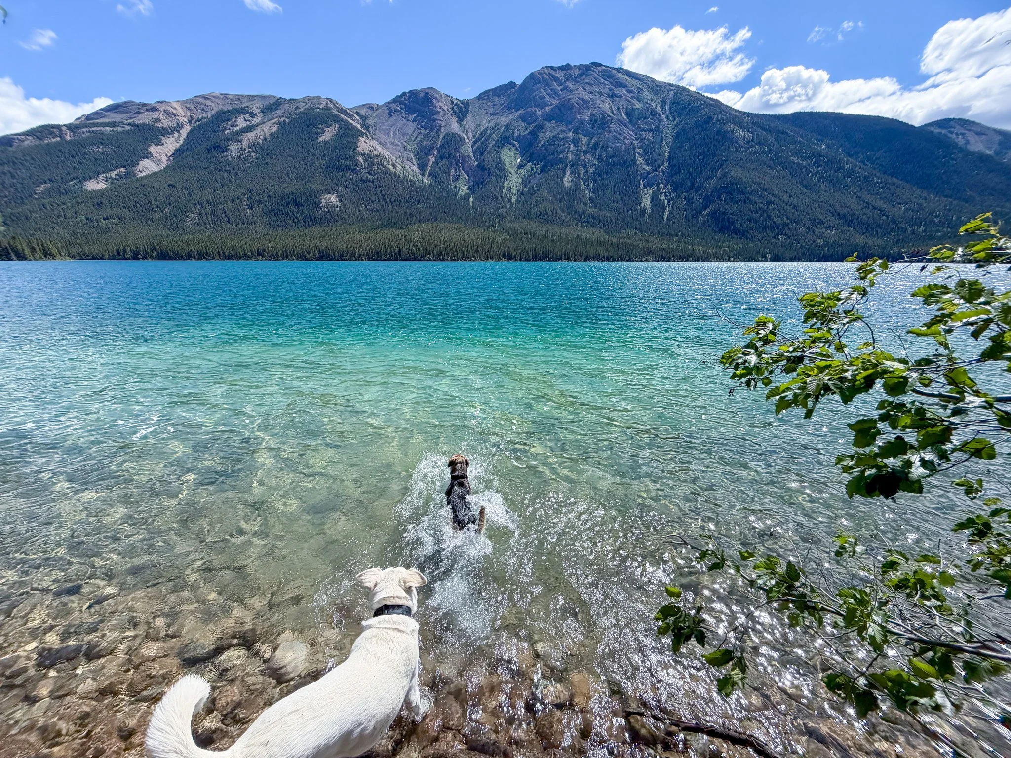
Aeroplane Lake was one of the better roadside stops we found along the northern Cassiar Highway. The water was incredibly clear, and there were several small camping spots tucked along the shoreline. We went into the water because it was so clear, that we felt we needed to. Pickles was having the time of her life swimming in the clear water and fetching sticks.
I would only recommend the lower waterfront sites for a camper van, truck camper, or very small travel trailer. The roads and turnaround areas near the water are tighter, and I would not take a long or low-clearance trailer down there without walking the entire route first.
For a large fifth wheel or motorhome, stay in the upper gravel pullout near the highway. It is very large, relatively level, and provides enough room to remain connected to the trailer. We would recommend treating this as an overnight rest stop rather than setting up a full campsite—stay hitched (or appear to be) and don’t set up outdoor equipment. I recommend you park at the very edge of the pull-off (both for safety so you’re away from the Hwy and to leave room for others). The pullout is remote and has essentially no amenities. The Milepost notes a litter bin, but travelers should not expect toilets, potable water, hookups, or a dump station. Although the lake water looked crystal clear, it should still be filtered or treated before drinking. I recommend you hop in - it’s ‘refreshing’!
Important camping clarification
British Columbia currently states that overnight camping is not permitted at Highway 37 provincial rest areas, pullouts, or gravel pits. The province distinguishes camping from briefly stopping to rest, so travelers should check posted signs, avoid unhooking or putting out camping equipment, and be prepared to move if instructed.
NOTE - We saw so many people camping in pull-offs and there were established fire-pits, so do with that information what you will. We have ‘camped’ in many pull-offs with no incident.
Quick facts
Highway: Stewart–Cassiar Highway, BC Highway 37
Location: Approximately 1.3 km north of the Good Hope Lake community
Direction: Best approached northbound
Cost: Free roadside pullout
Large-rig recommendation: Upper gravel area only
Small-rig option: Several tighter sites closer to the water
Amenities: None beyond a reported litter bin
Cell service: Do not count on it
Best feature: Very clear water and easy roadside access
Nearby developed alternative: Tā Ch’ilā/Boya Lake Provincial Park is approximately 11 km farther north and has formal campsites.
Big-rig verdict: The upper area worked as a practical stop for our 43-foot fifth wheel, but I would not attempt the shoreline sites with a rig our size.
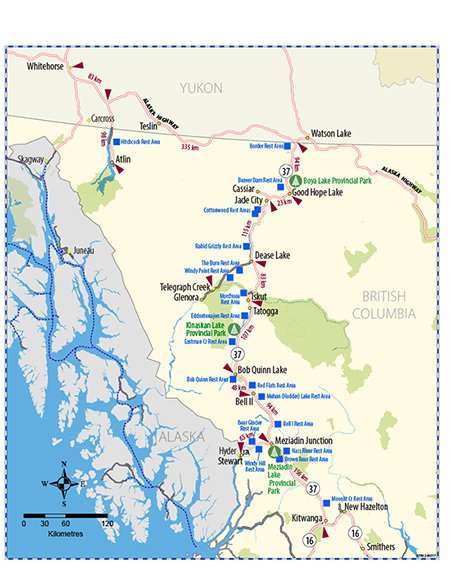
This map shows the ‘formal’ rest stops. We have avoided staying at these, choosing random pull-offs instead. If you choose one without any ‘No Entry’ or ‘No Trespassing’ signs, I think you will be fine.
