Pomeroy Lakes - St. Elmo, CO
Pomeroy Lakes Trail Overview
Trail Name: Pomeroy Lakes Trail (Forest Road 297)
Location: Near St. Elmo, west of Buena Vista, CO
Trail Type: Out-and-back
Length: Approximately 5.5 miles round trip
Elevation Range: Approximately 10,520 ft to 12,090 ftDifficulty: Moderate to Difficult
Trail Surface: Rocky, with steep and narrow sections
Permitted Uses: Dirt biking, hiking, 4WD vehicles
Best Season: July through September
Land Status: San Isabel National Forest
Trailhead Access
Starting Point: Pomeroy Lakes Trailhead
Coordinates: Approximately 38.62730° N, -106.3416° W *Additional Info: SummitPost
Directions: From Buena Vista, travel south on Highway 285 for 7 miles to County Road 162. Turn west at Nathrop on CR 162 and travel west for 15.5 miles to the intersection of FR 295. Travel south on FR 295 for 3 miles to the junction of FR 297. Turn left onto FR 297 and travel southeast for 2.5 miles to the parking area. *Additional Info: US Forest Service
Parking: Available at the trailhead; vehicles are not permitted beyond this point.*Additional Info: US Forest Service
Facilities: No restrooms or amenities at the trailhead.
Trail Highlights
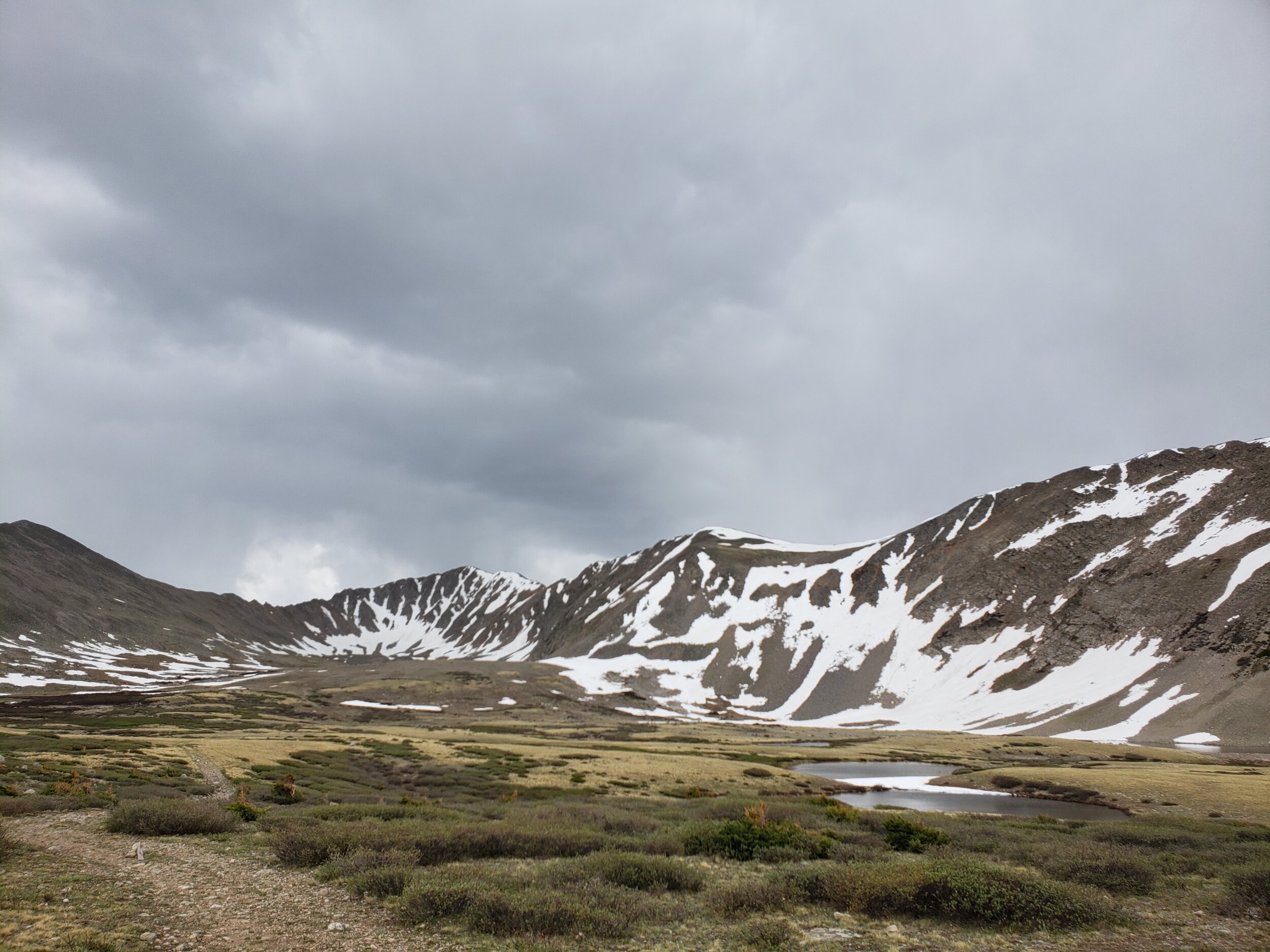
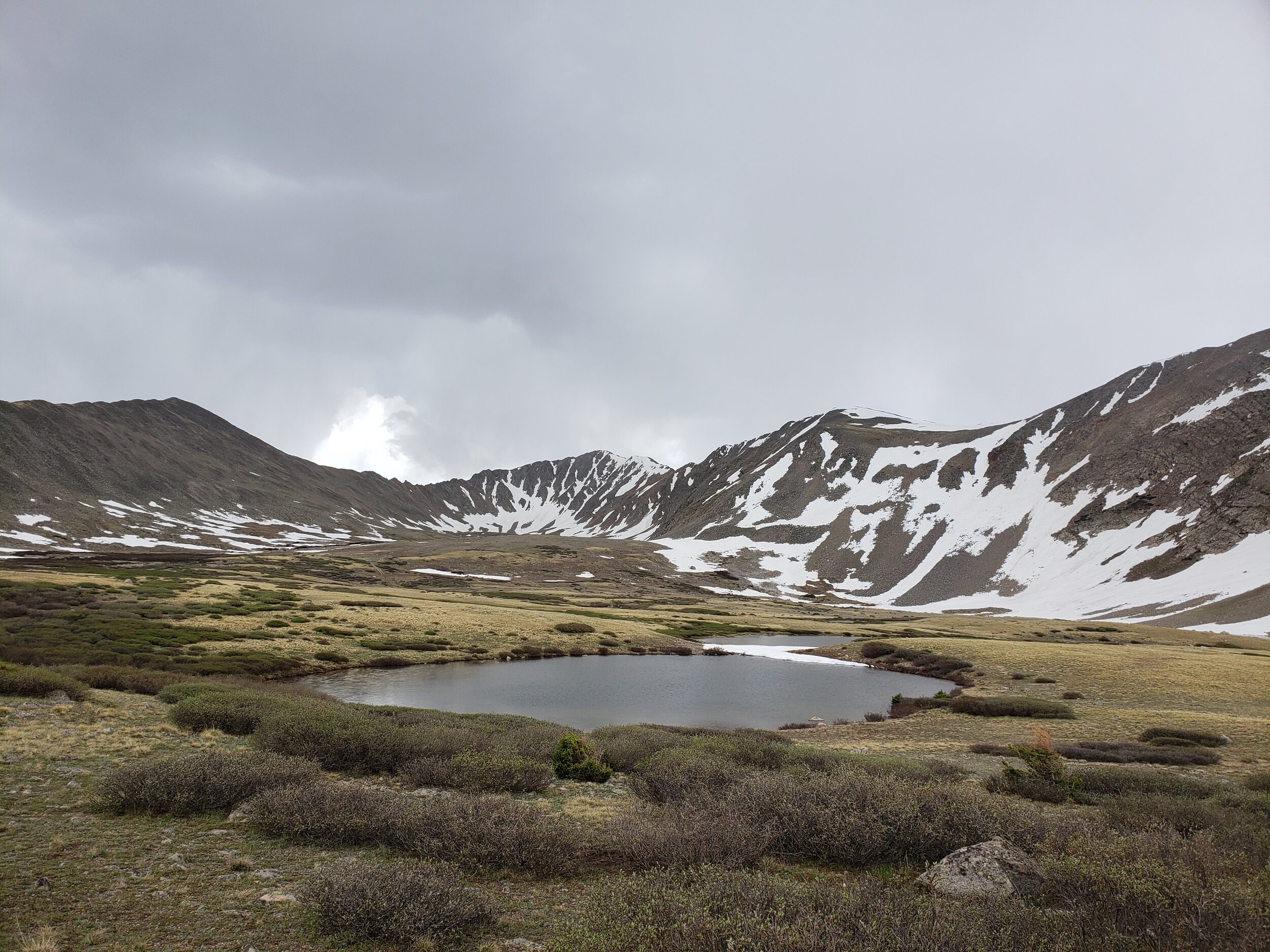
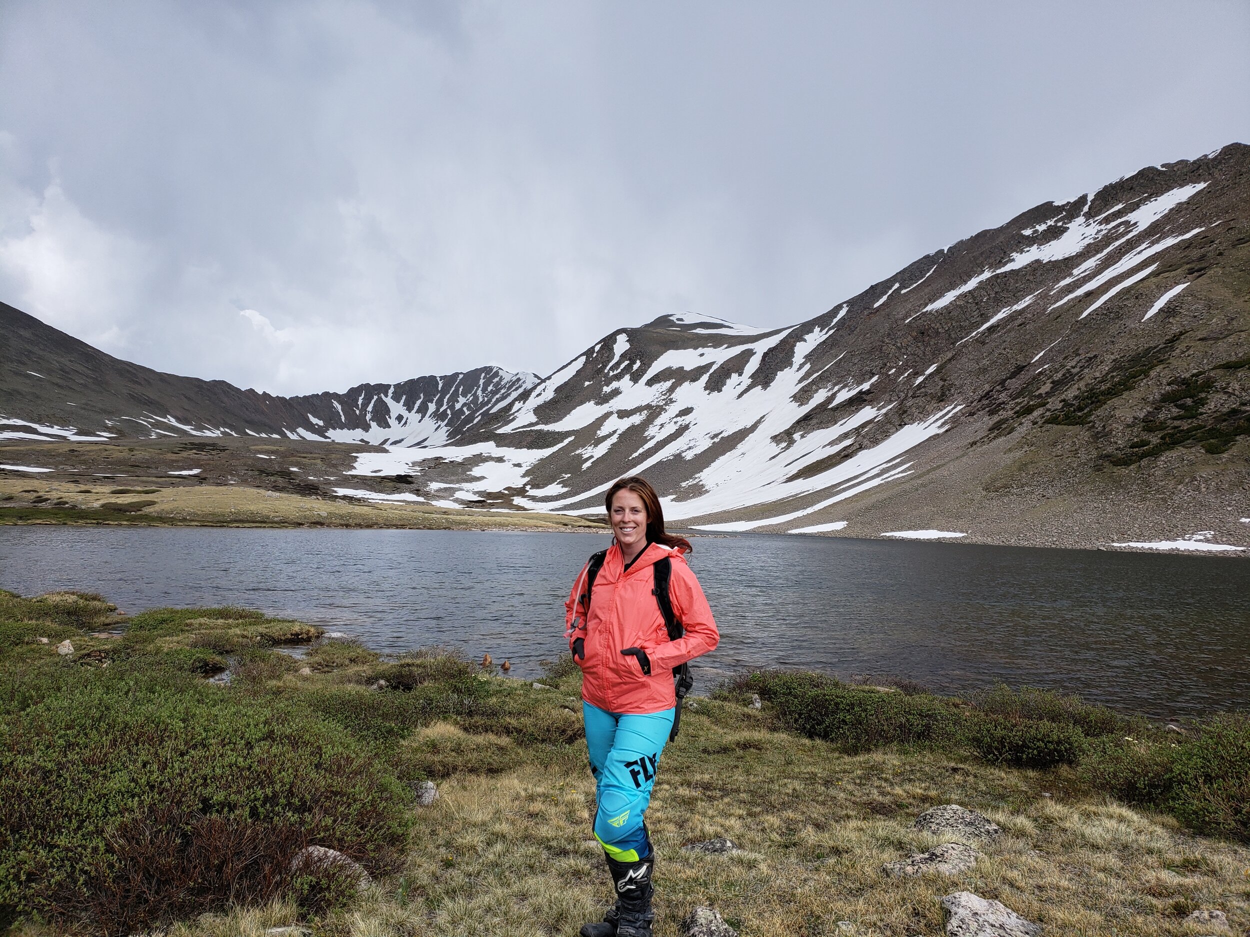
Scenery: Ascend through alpine meadows to Lower and Upper Pomeroy Lakes, offering panoramic views of surrounding peaks and opportunities to spot wildlife such as marmots.
Terrain: Challenging sections with rocky surfaces, steep inclines, and narrow paths. The last 0.5 miles to the lake is rough and rocky.
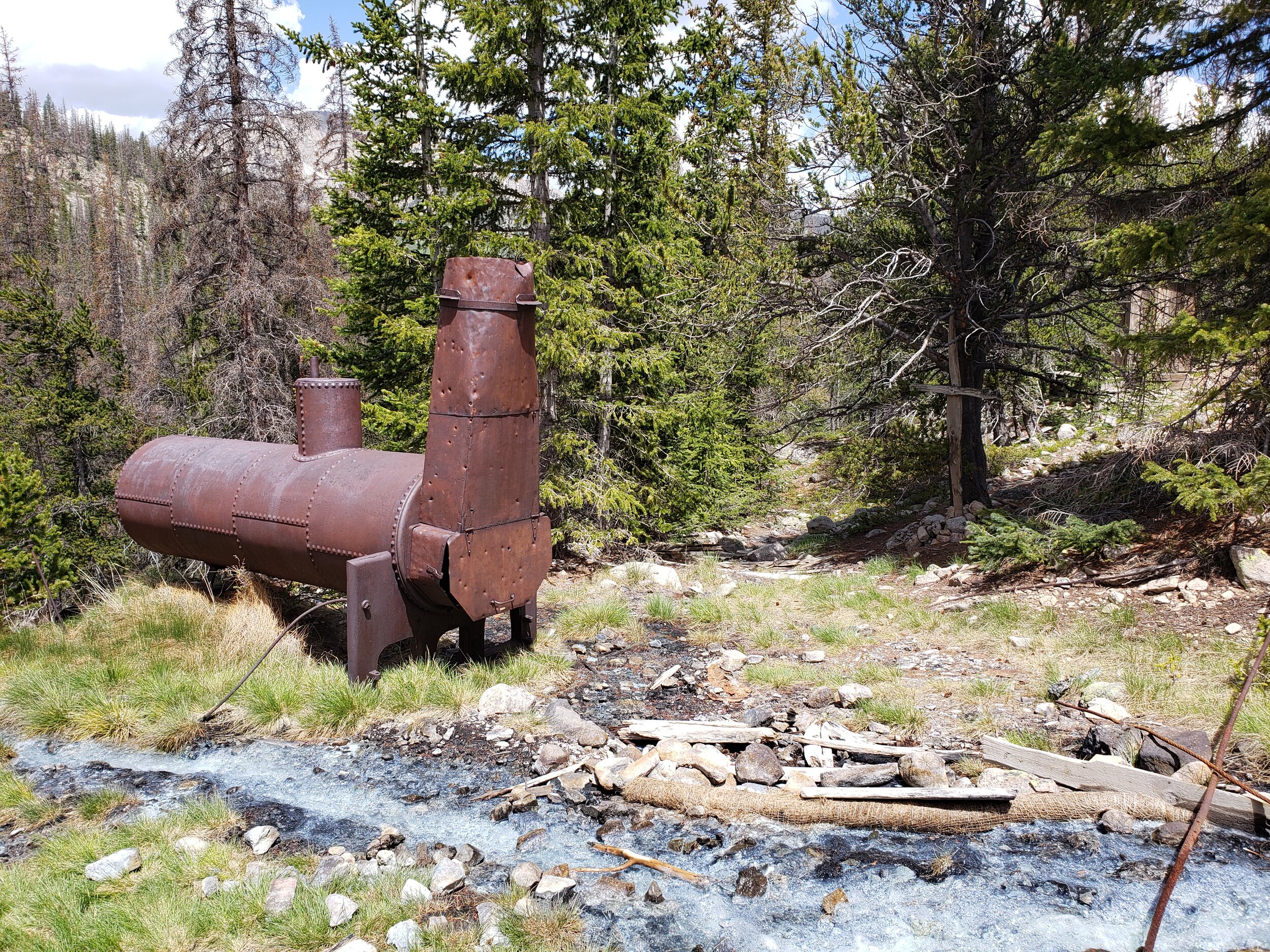
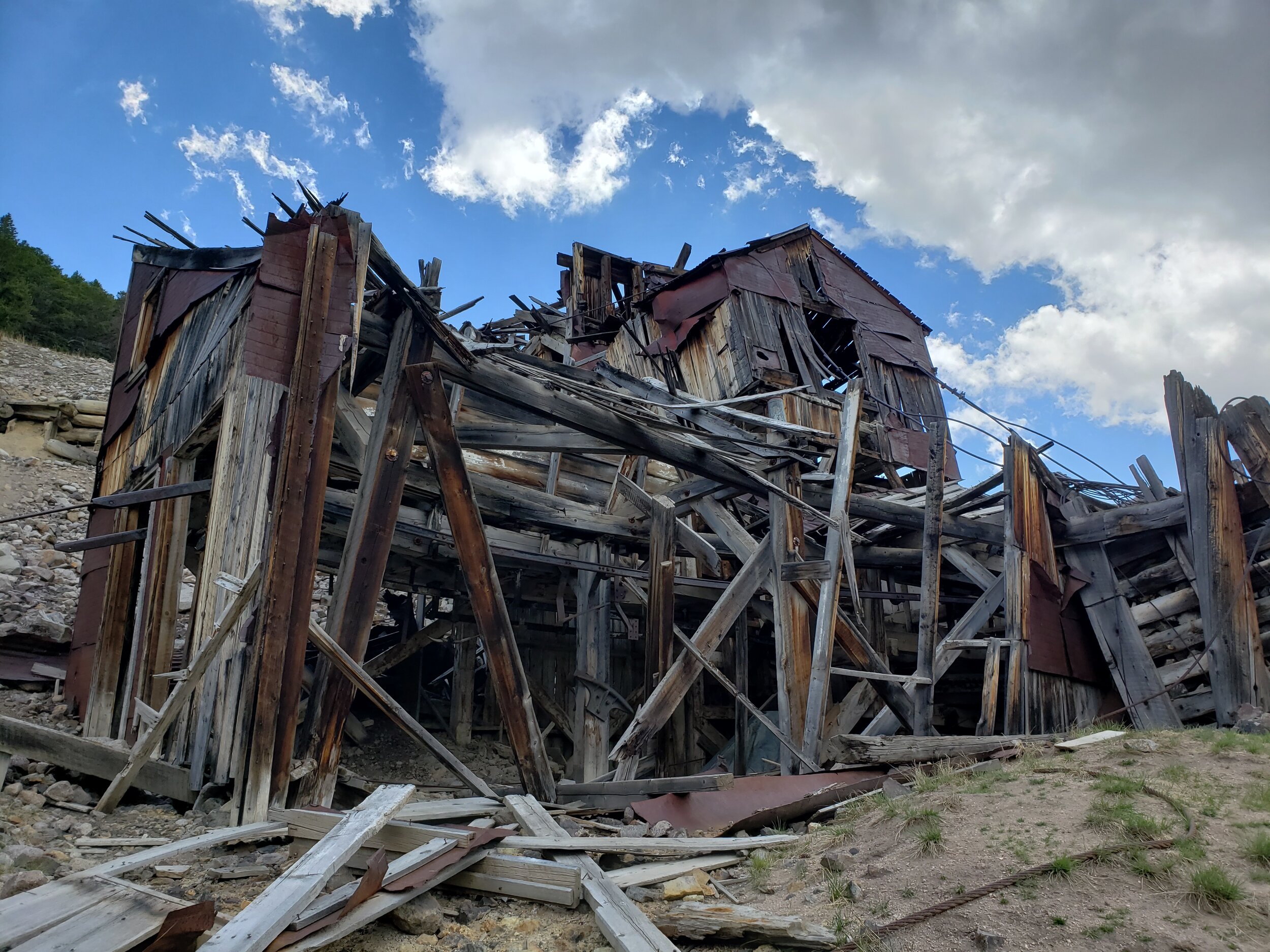
Points of Interest: Historic Mary Murphy Mine and boarding house, remnants of mining structures, and potential fishing spots for cutthroat and rainbow trout.

Pomeroy Lakes is a delightful trail that starts near St. Elmo. There is plenty of room for staging near the last-chance bathrooms on the way into St. Elmo (you’ll see the sign that says last chance).