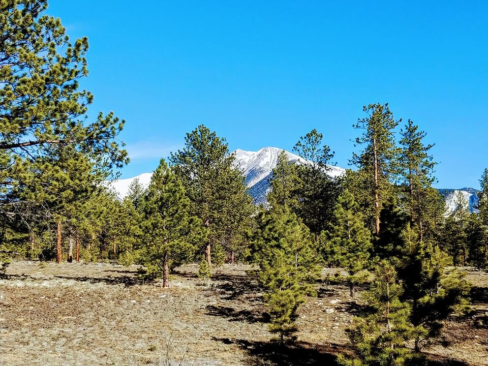
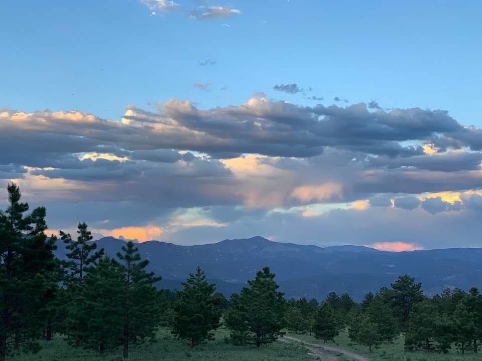
Buena Vista and Nathrop, CO - Brown's Creek Falls

Distance From Denver: 134 miles (to Browns Creek trailhead)
Cost: Free
Liz Rating: 4/5
Things to Do:
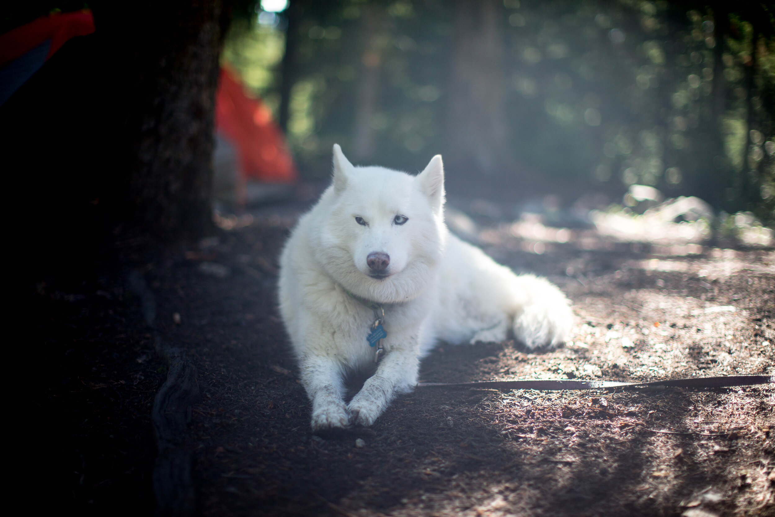
Camp
Hike Brown’s Creek Waterfall Trail
Go to the Mount Princeton Hot Springs
Visit St. Elmo, CO - a well-preserved mining ghost town
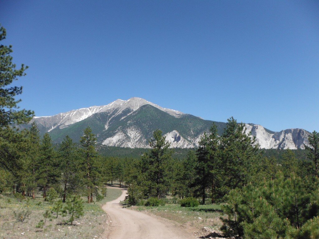
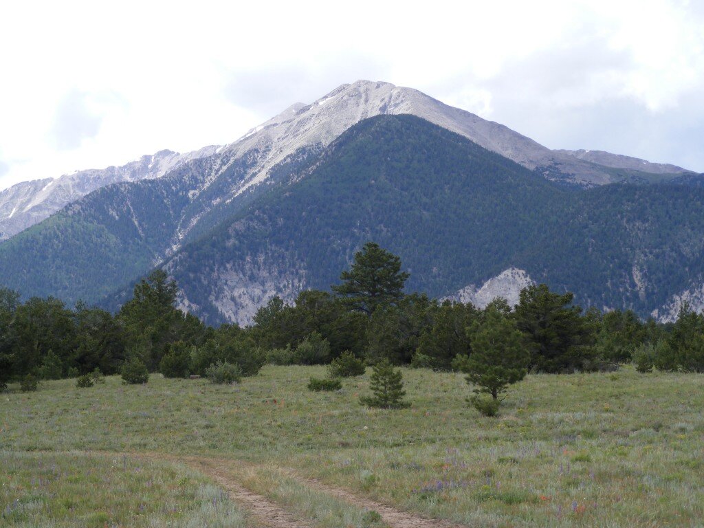
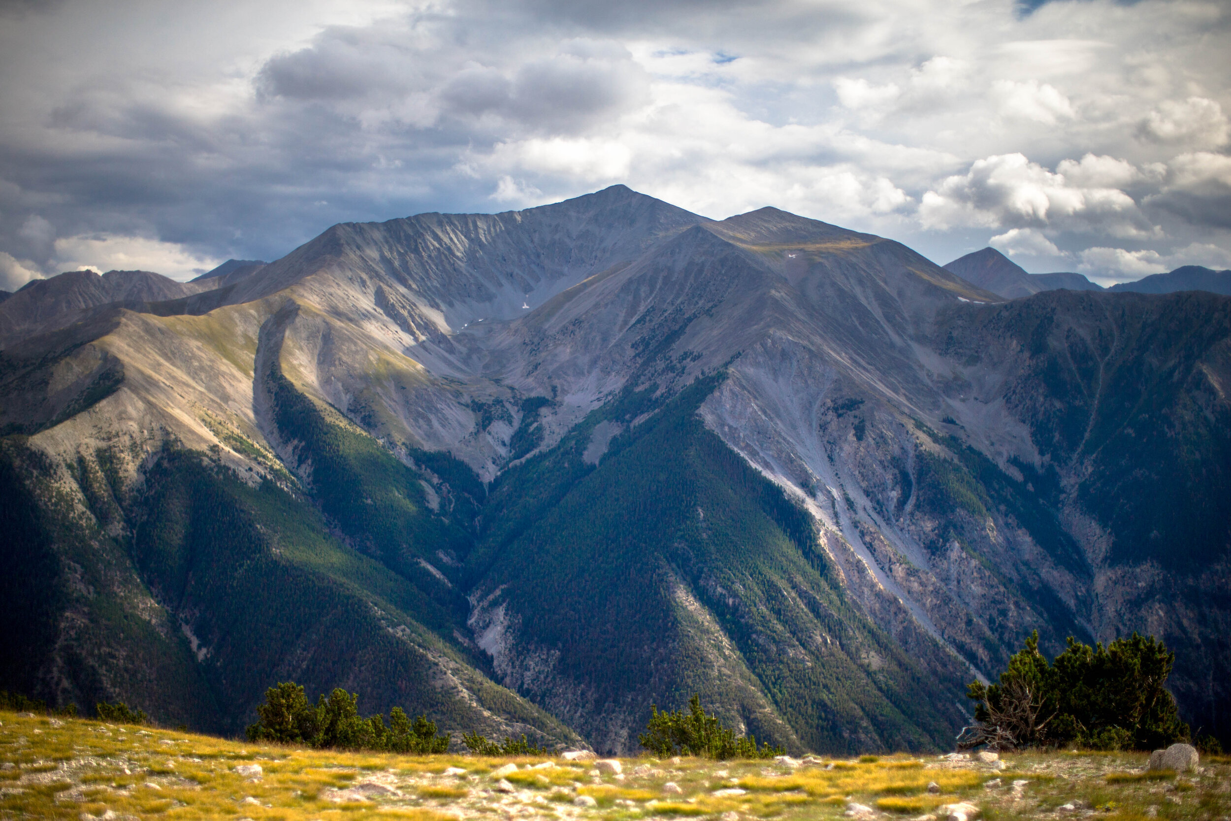
Dirtbike or offroad the nearby Mt. Princeton, trails behind St. Elmo, Cottonwood Pass trails
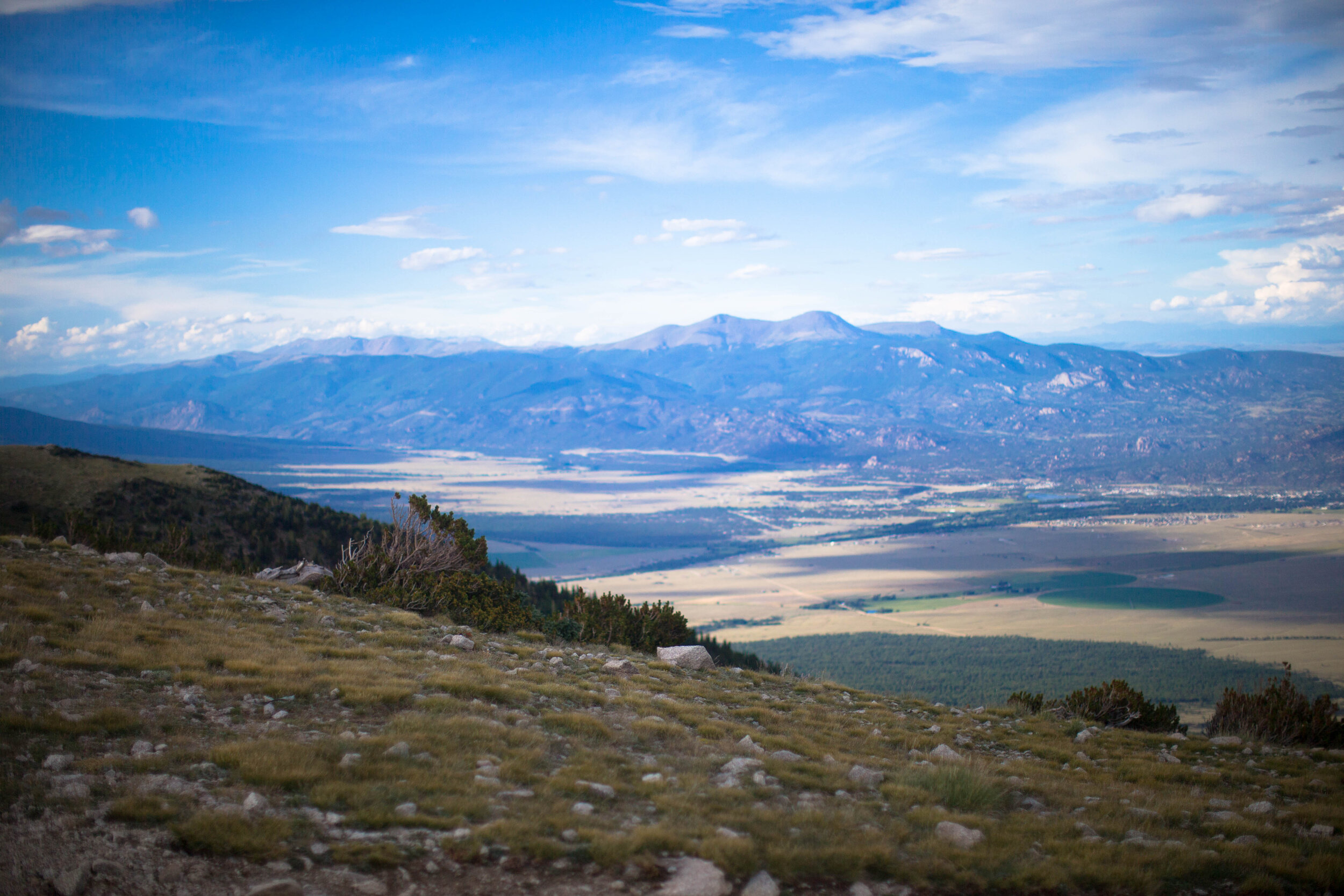
Drive Cottonwood Pass (summer months)
Check out these awesome free sites - GPS coordinates below.


Buena Vista/Nathrop 38°40'33.5"N 106°09'48.6"W
Buena Vista/Nathrop 38°40'24.4"N 106°09'41.7"W
Buena Vista/Nathrop 38°40'10.3"N 106°09'32.7"W
Buena Vista/Nathrop 38°39'53.2"N 106°09'15.9"W
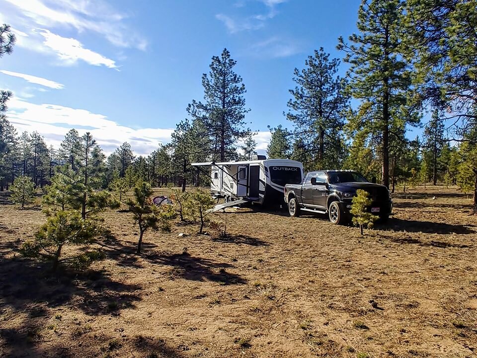
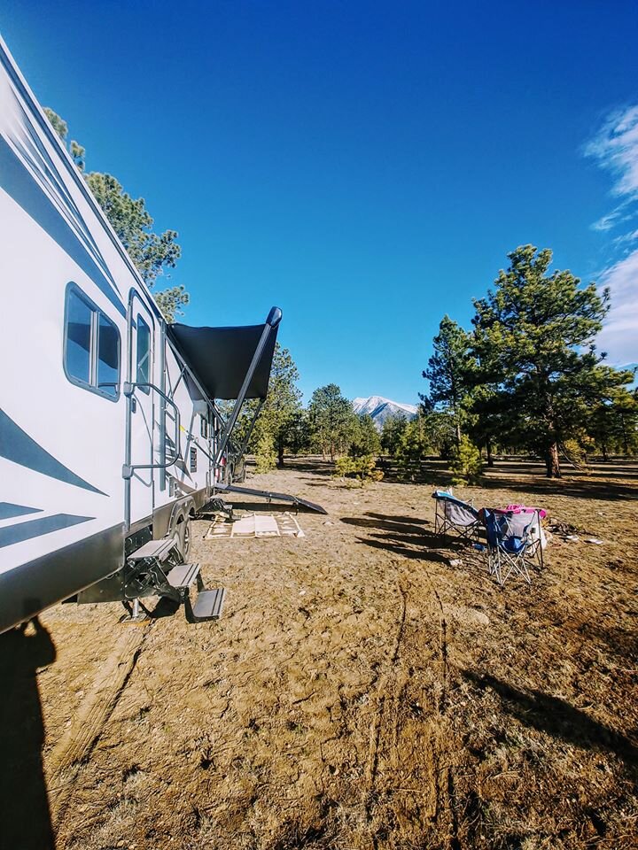
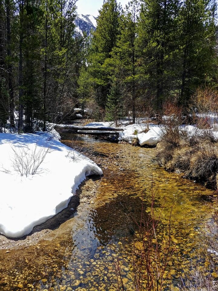
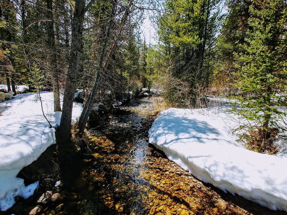
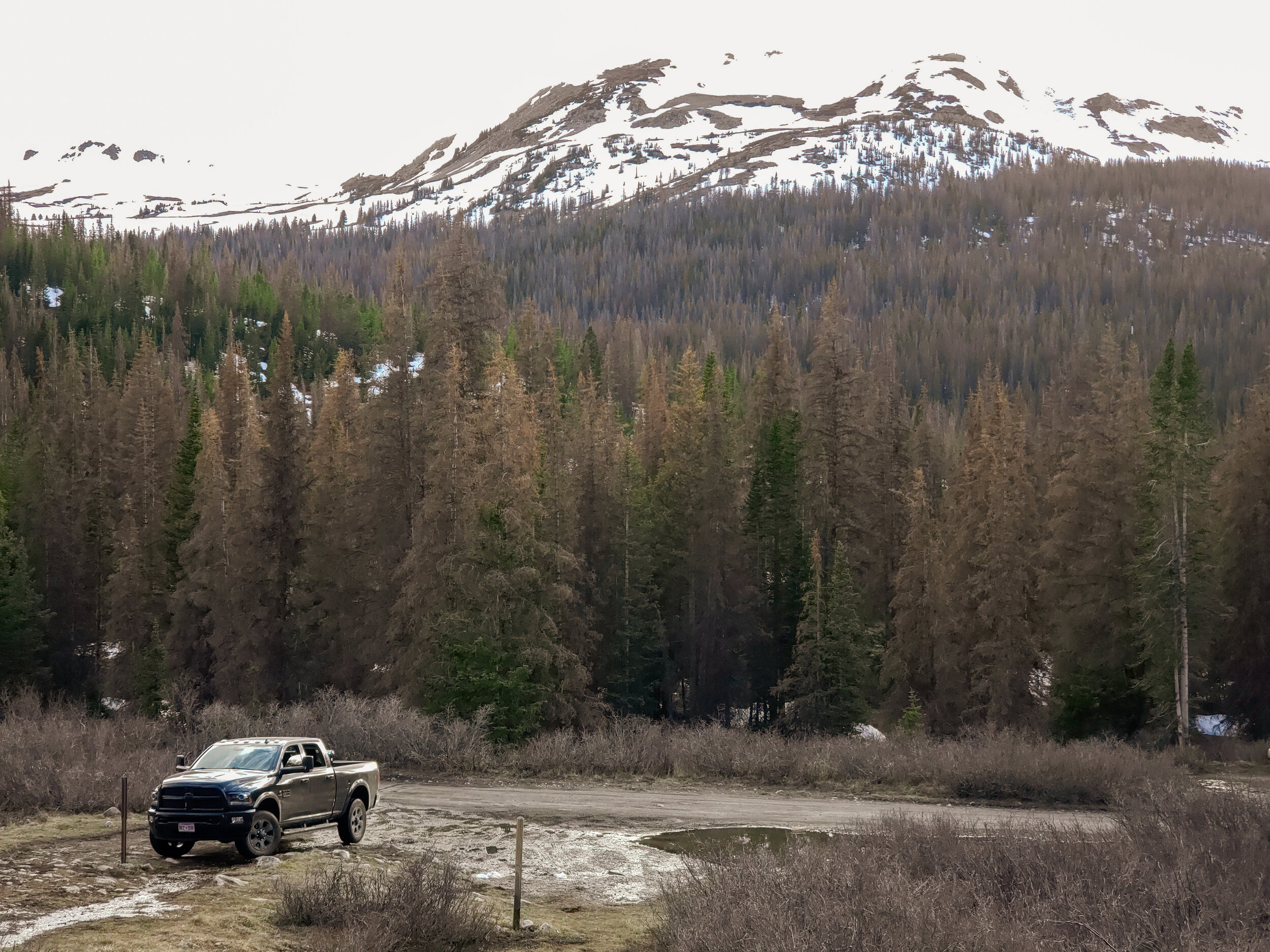
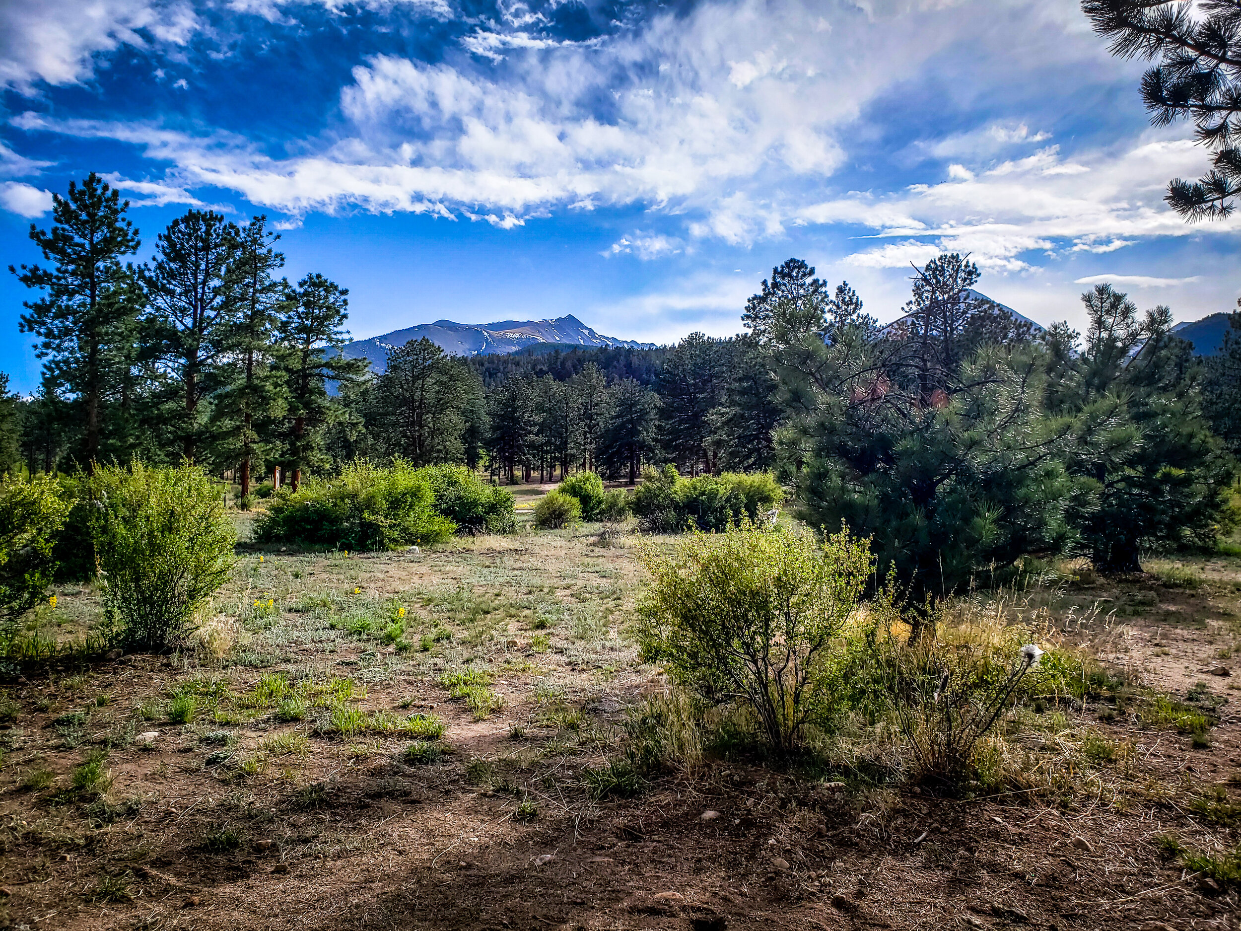
The national forest area near Brown’s Creek is easy to access (even with a trailer nearing 40’ in length). Check out my directions below. You can adjust them as needed. This assumes you’re coming from Arvada, CO, and taking Hwy 285. These are directions to the TRAILHEAD.
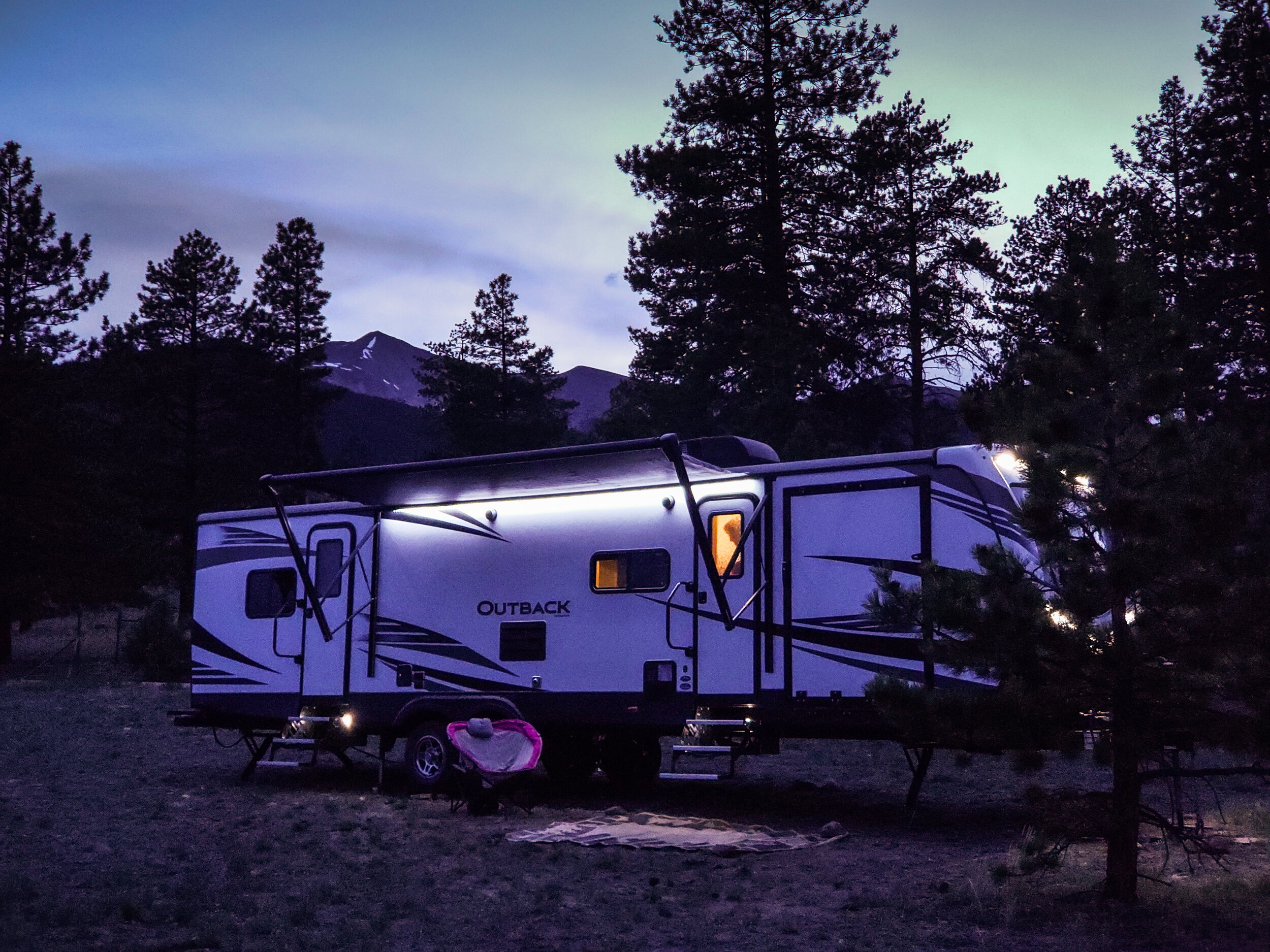
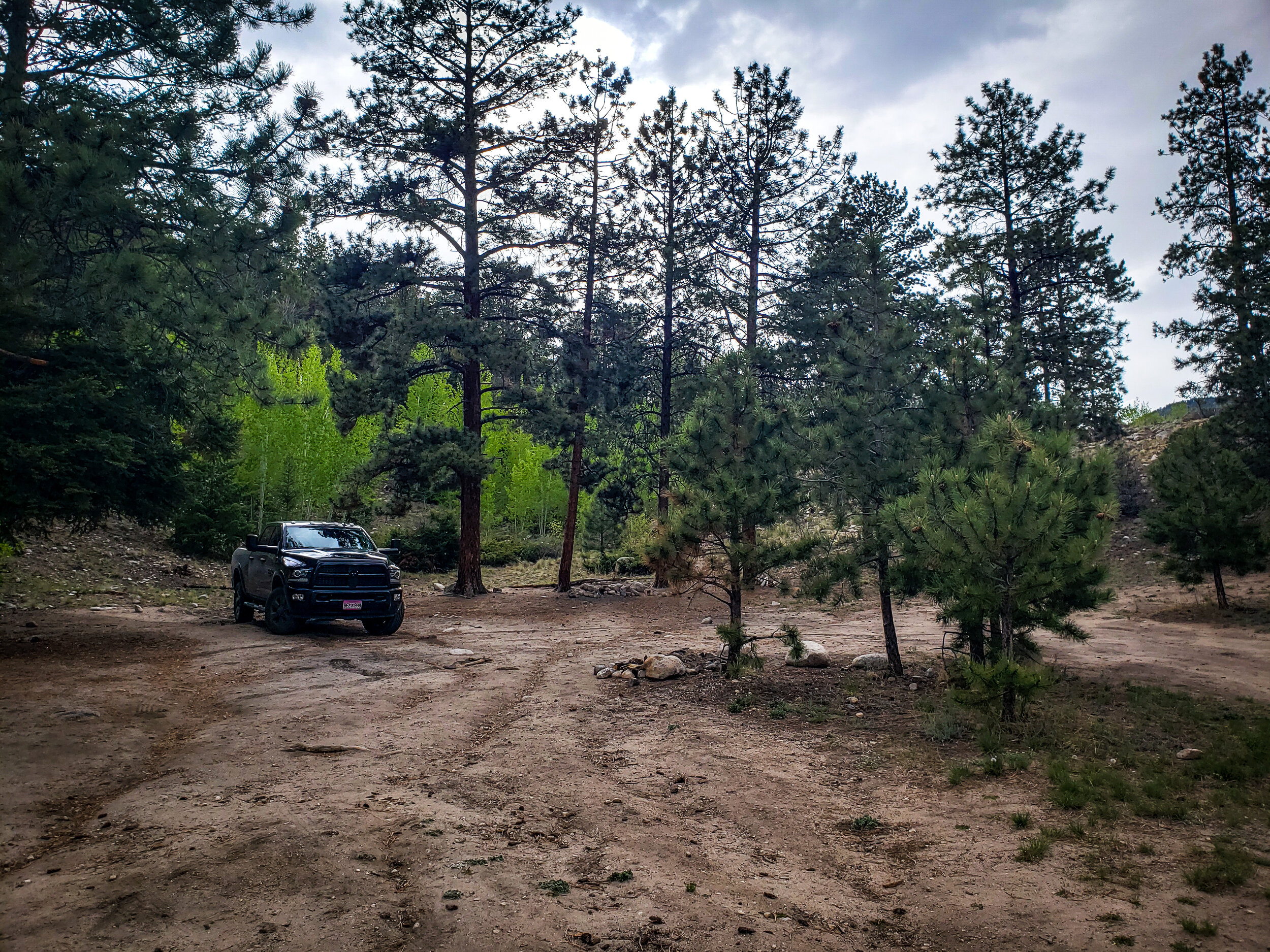
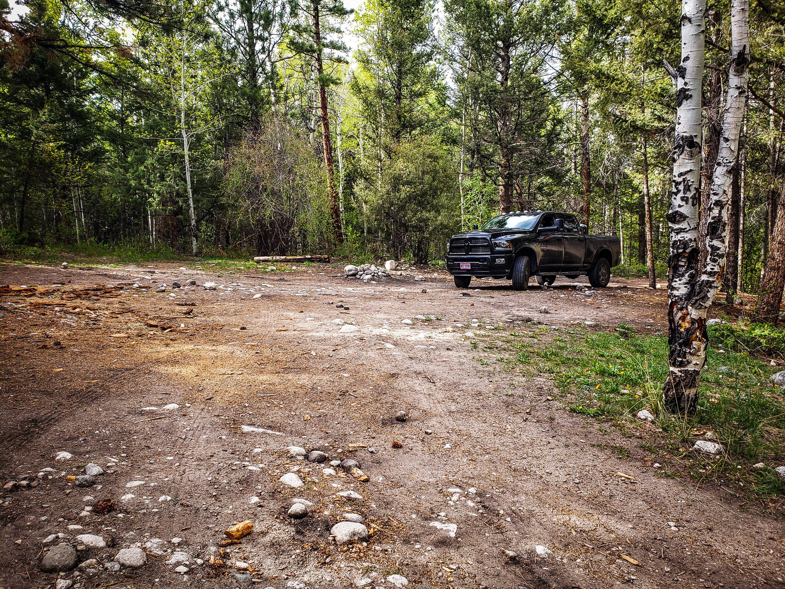
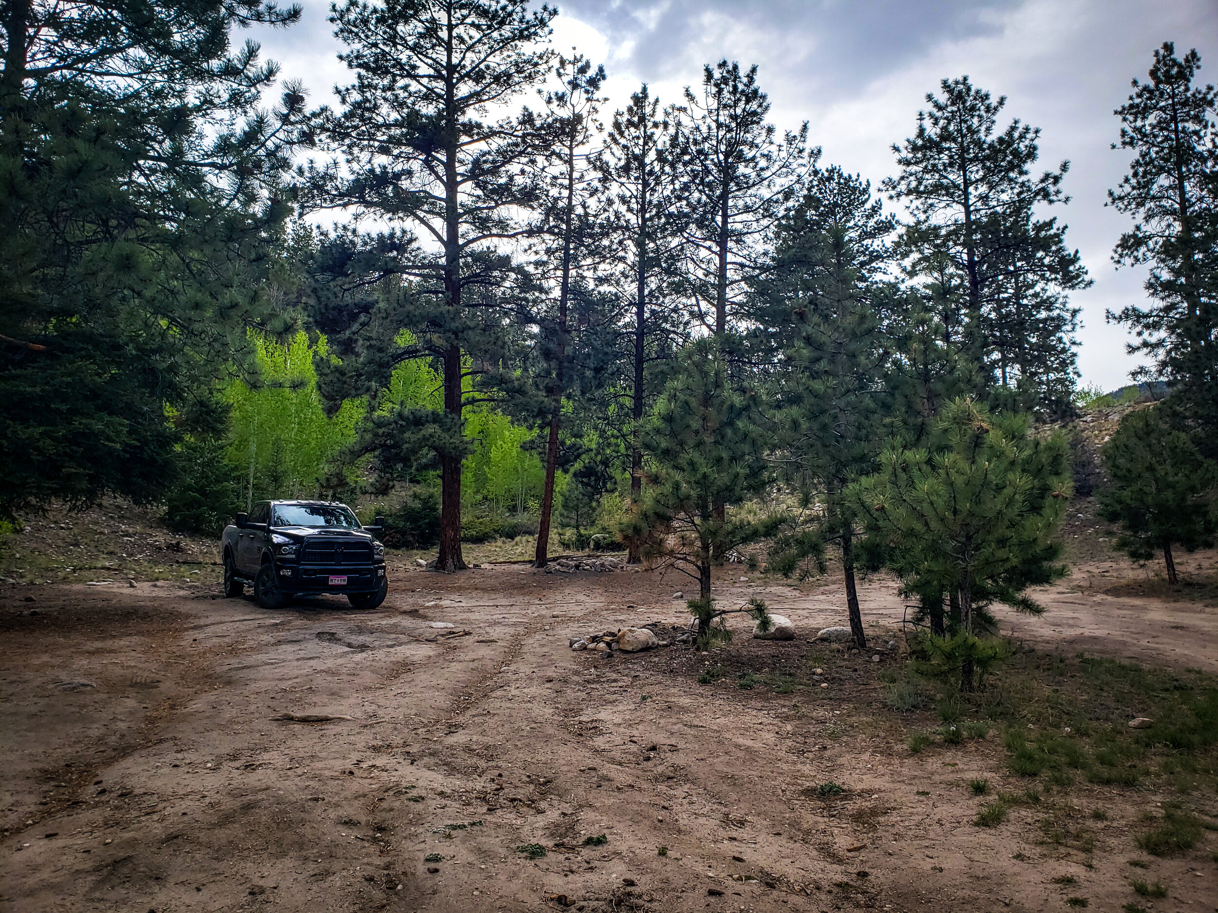
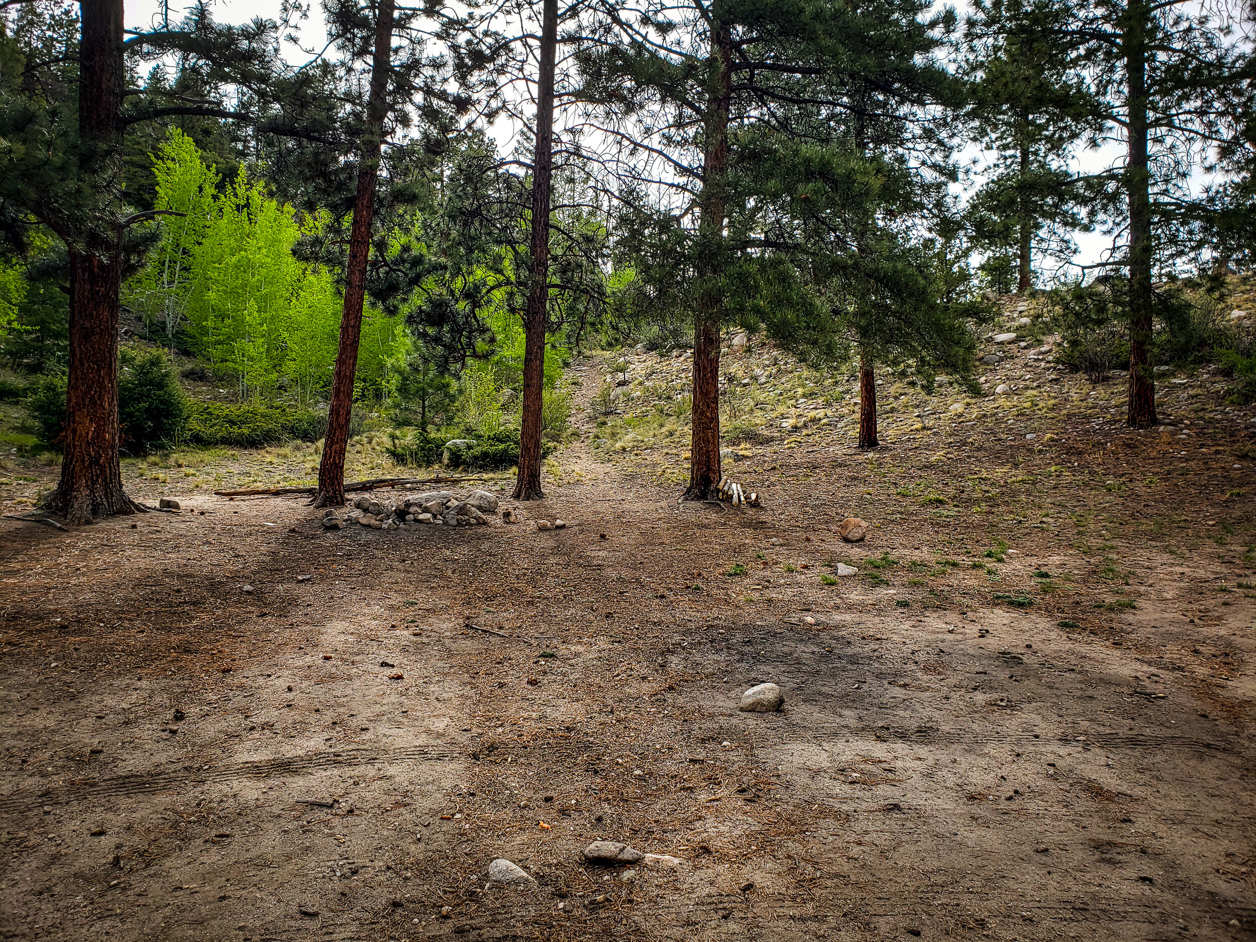
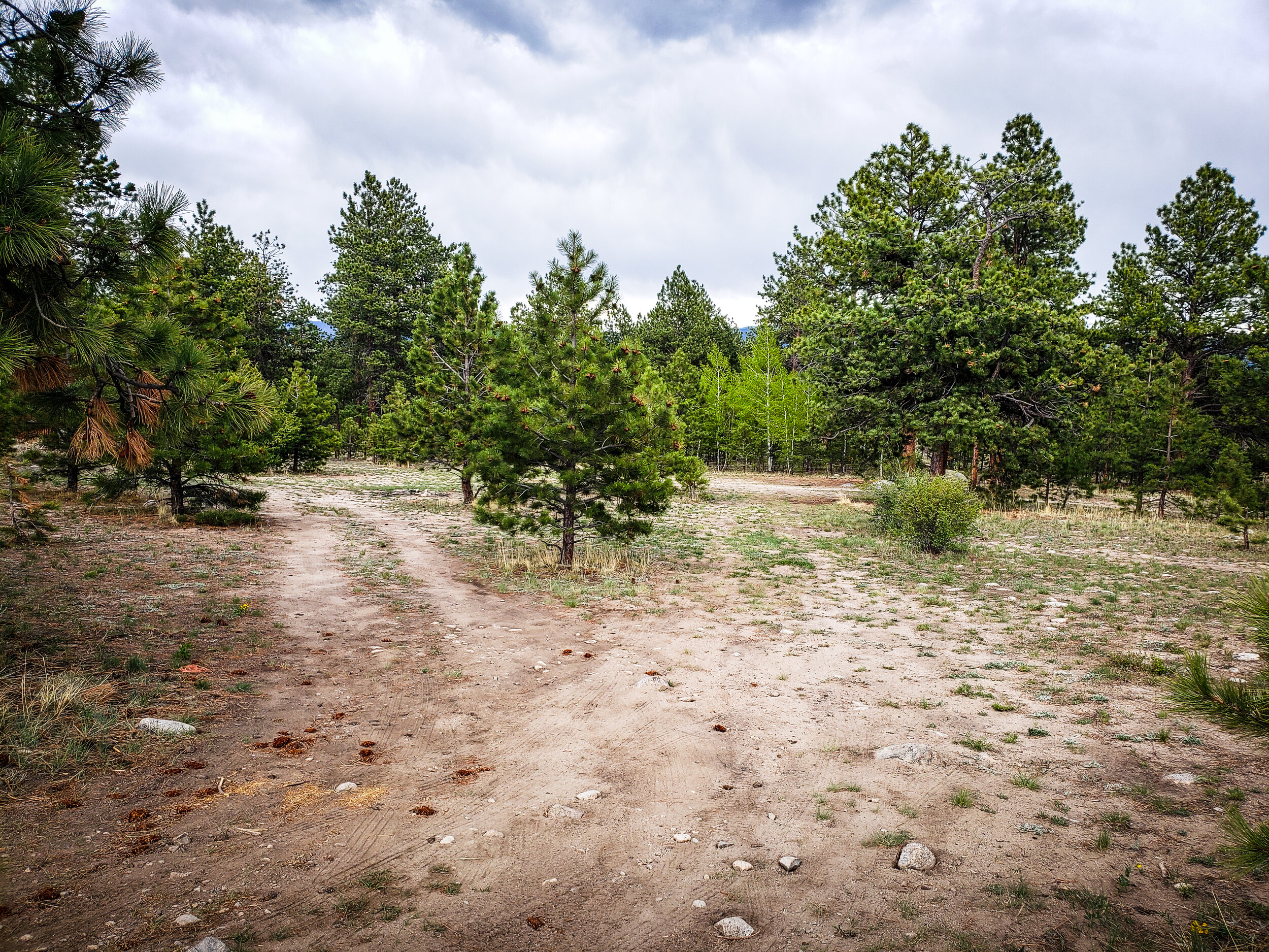
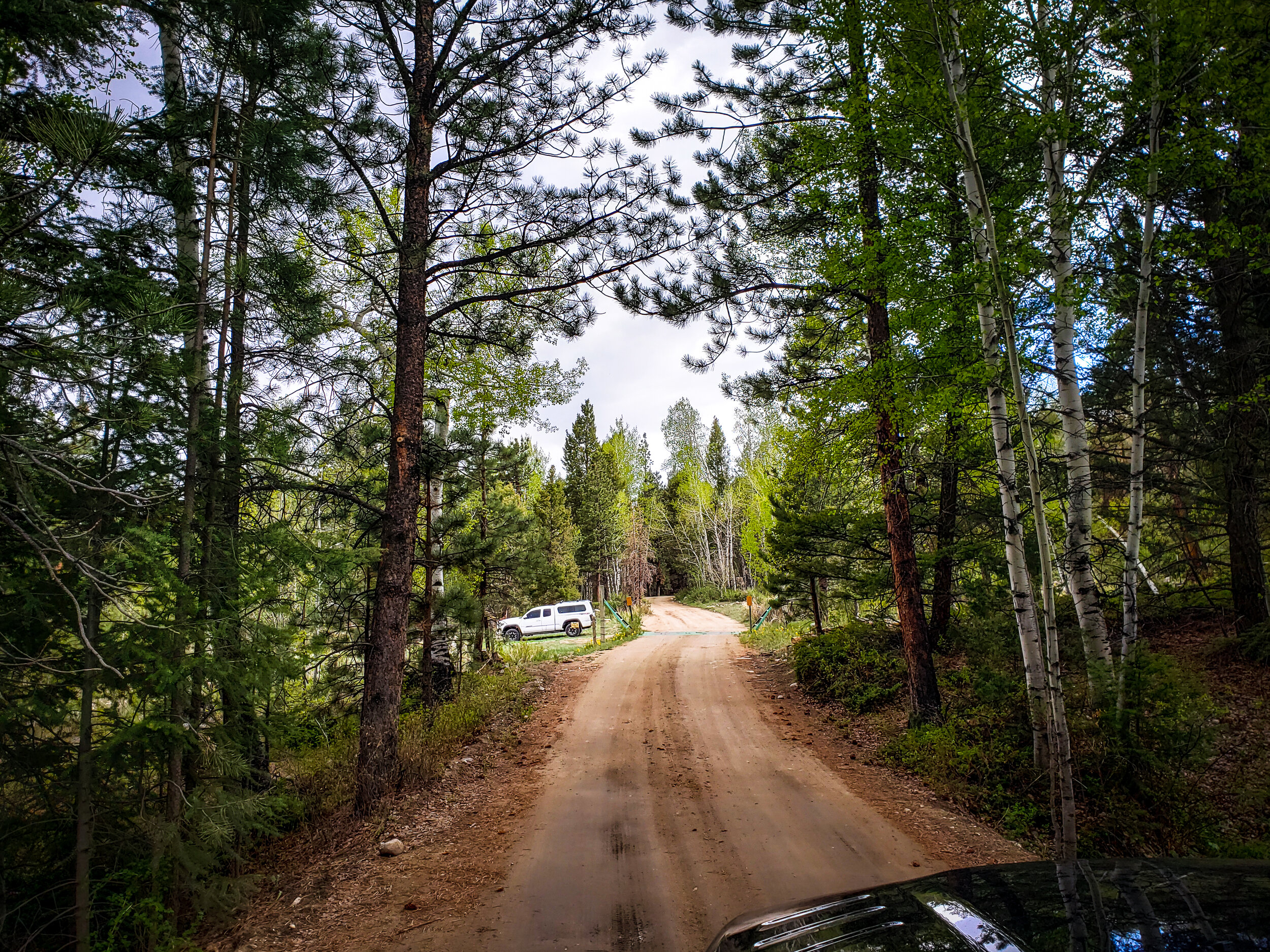
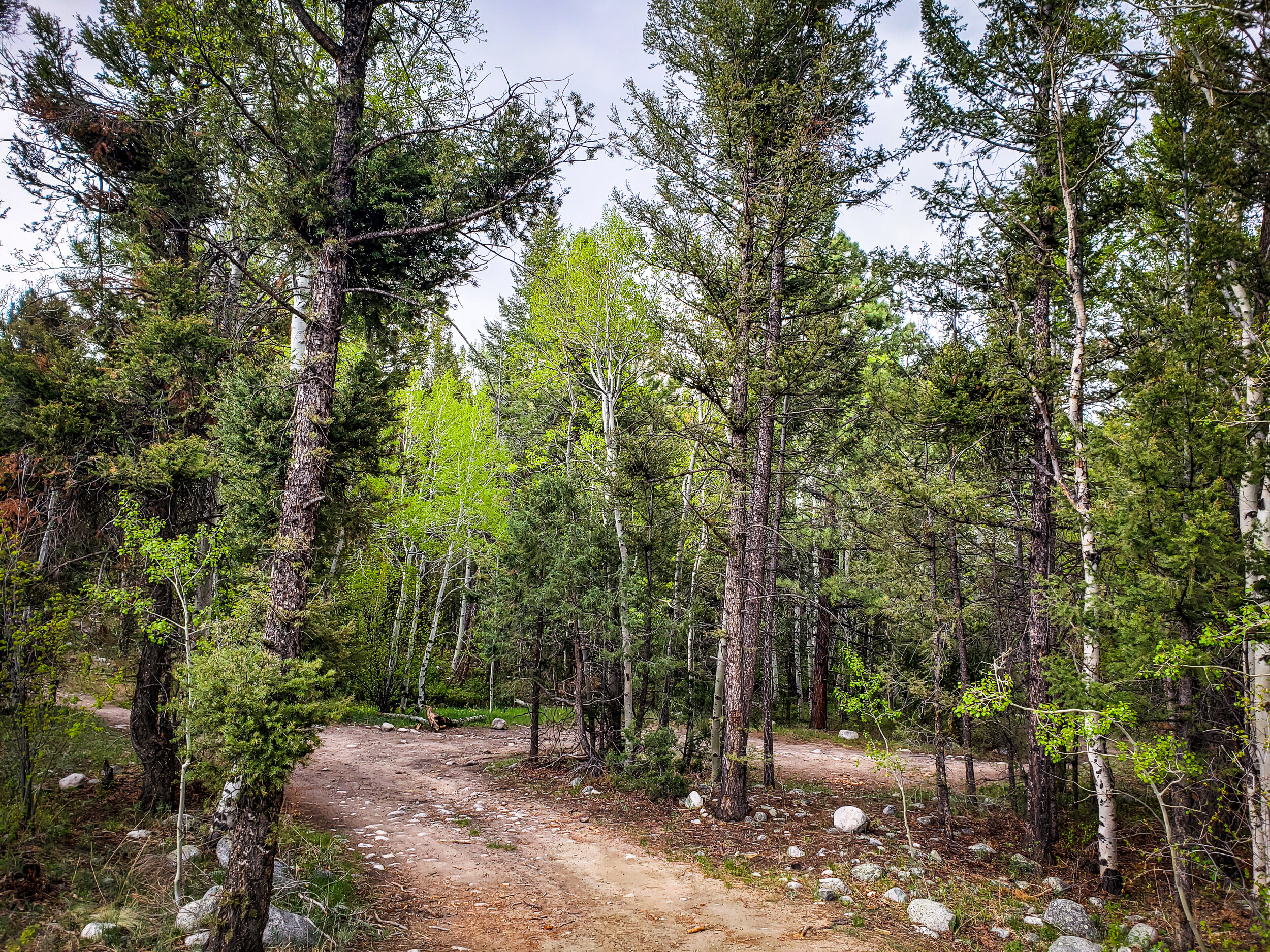
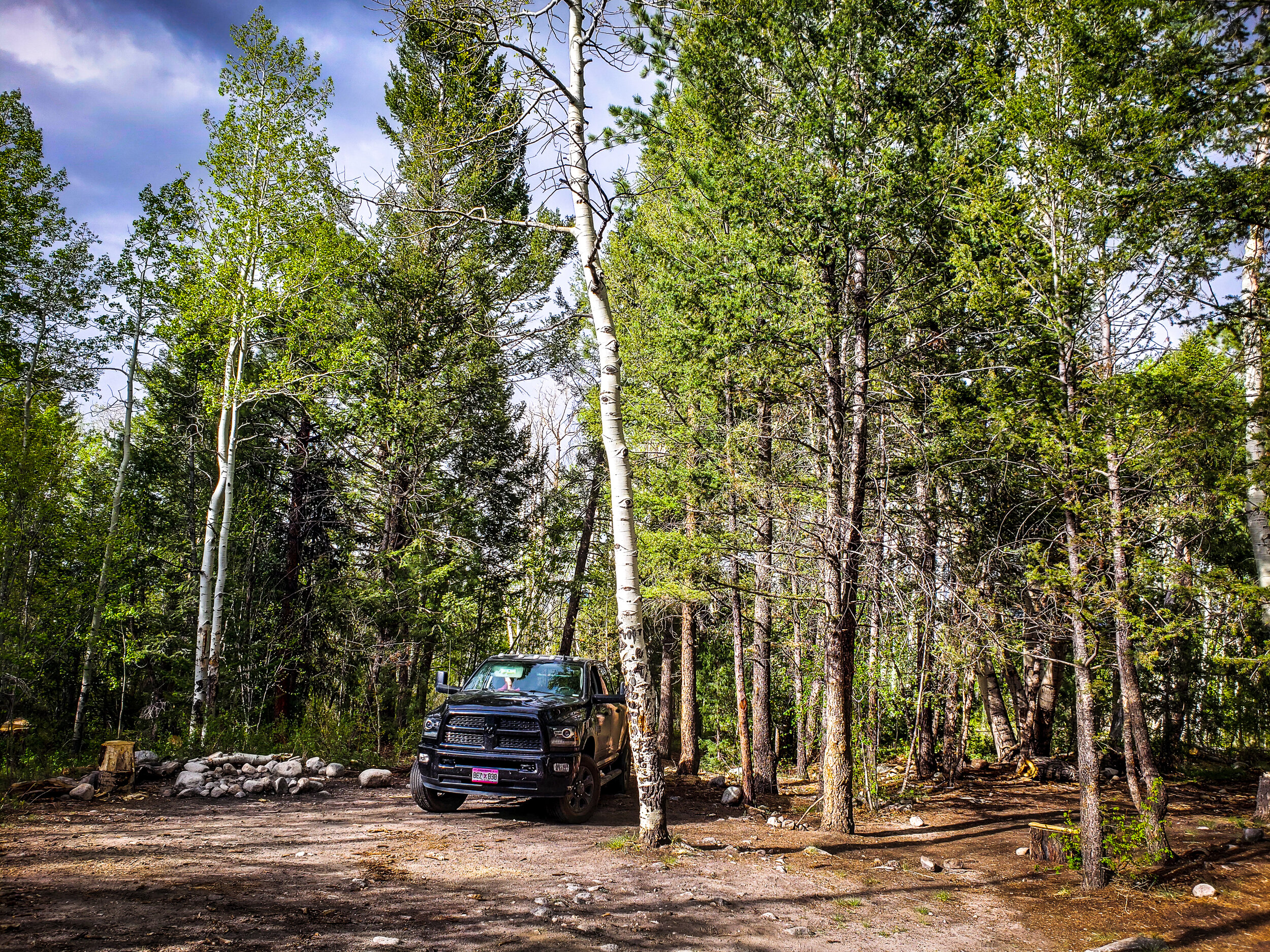
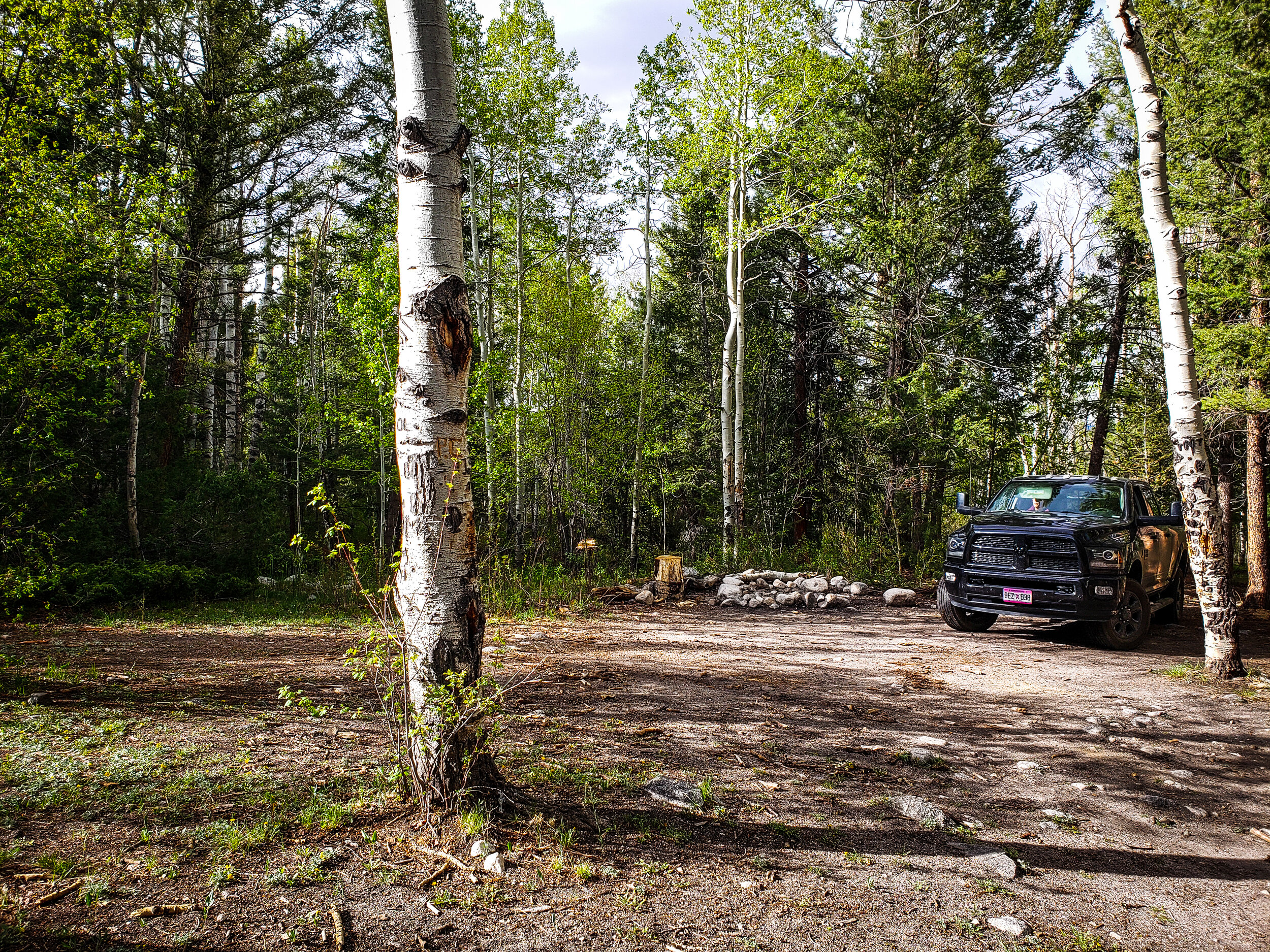
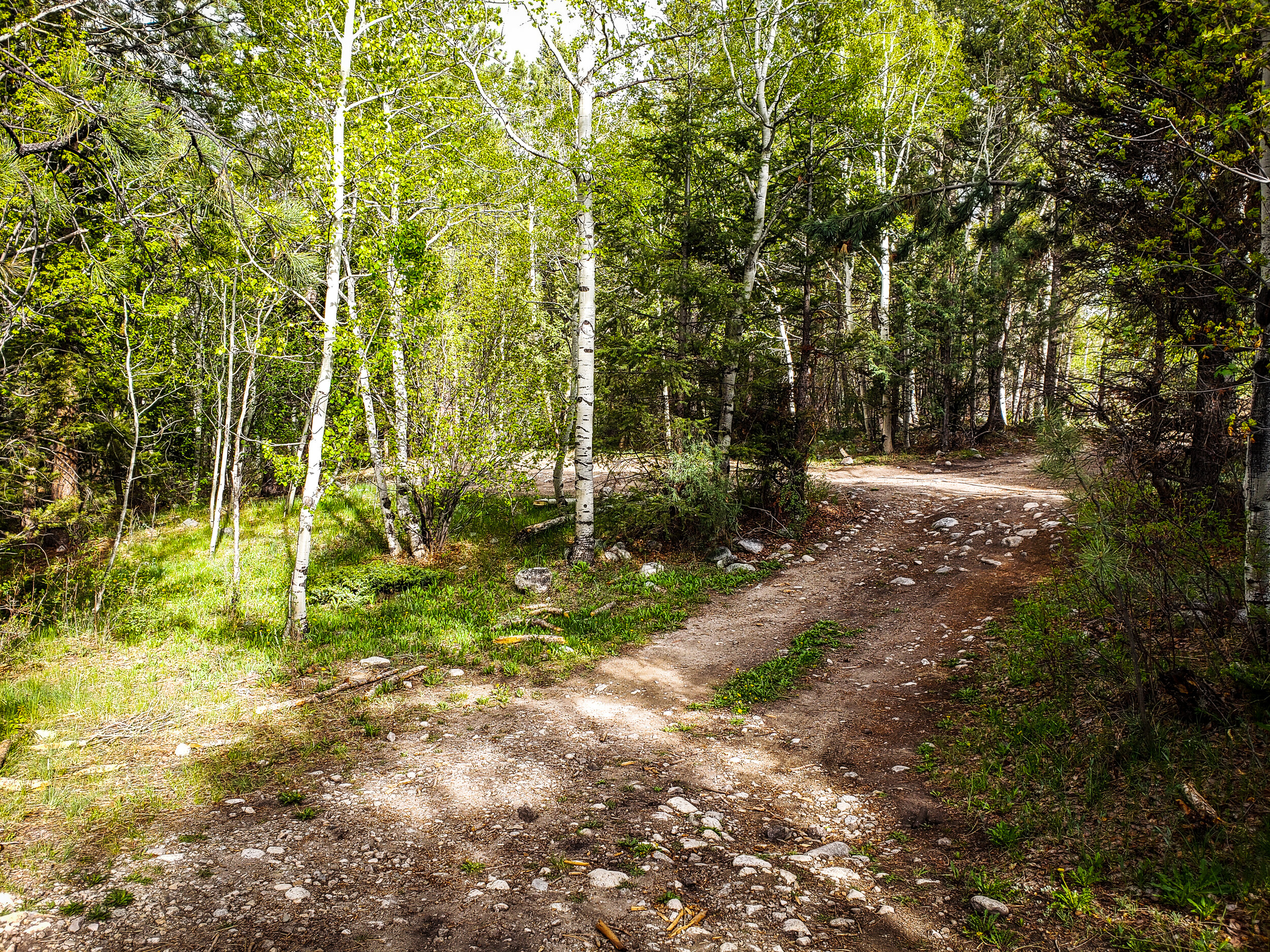
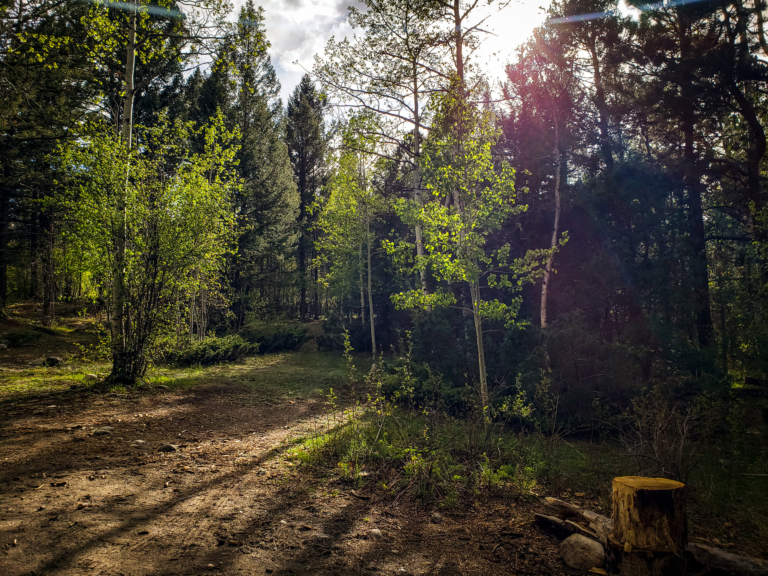
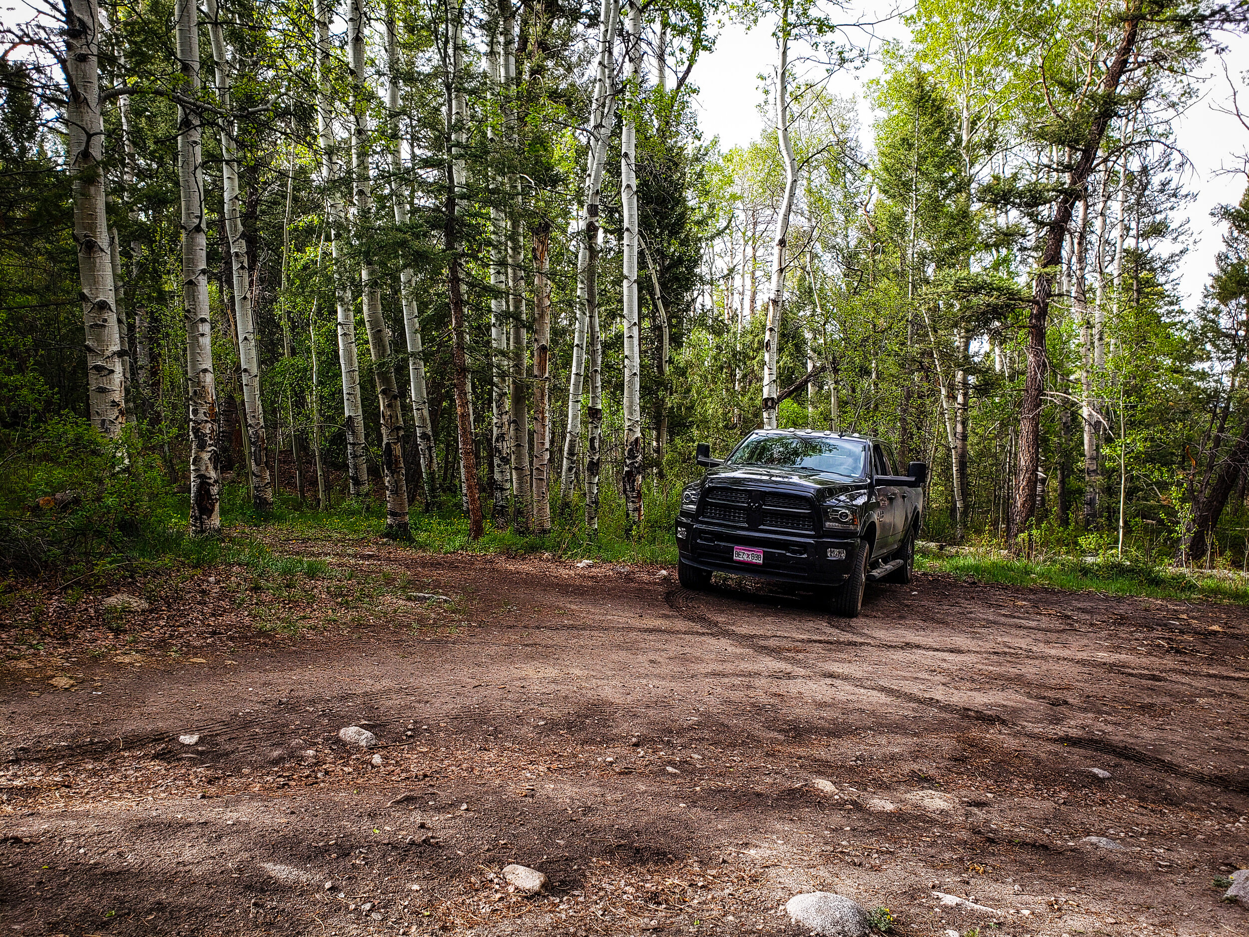
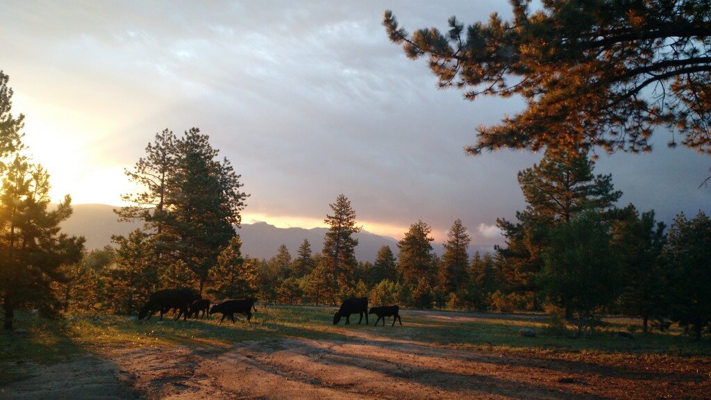
You can pull your camper past the trailhead if you don’t see any spots before. We pulled our camper quite a ways past the trailhead to find a spot. There are plenty of spaces to turn around even though it may seem tight and sketchy until you get out into the open again after the trailhead. What we recommend is finding a nice camping spot along the road once you enter National Forest Land. You will come to a split after entering National Forest Land. The camping spot in our photos is one we found after turning left towards the trailhead. They are easy to spot and there’s likely to be plenty available if you get there early on a Friday or late on Thursday evening. This area is usually free of snow on the ground by April. Buena Vista is our favorite early-season camping area.
Here are some GPS coordinates from FreeCampSites.net in case Google Maps (below) doesn’t work for you:
FR 272
Nathrop, Colorado
GPS: 38.692745, -106.154709
Elevation: 8613'
Check out these images I snagged from freecampsites.net featuring the Brown’s Creek area. While the images at the top of this post are mine, these are user-contributed images. Clicking any of the images below will take you to their original post.
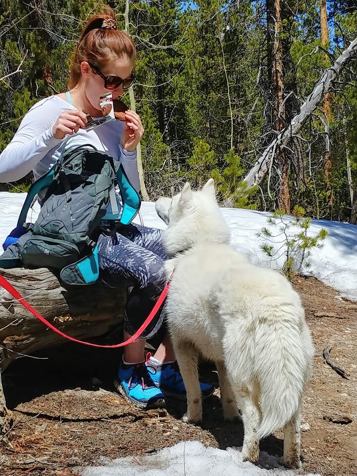
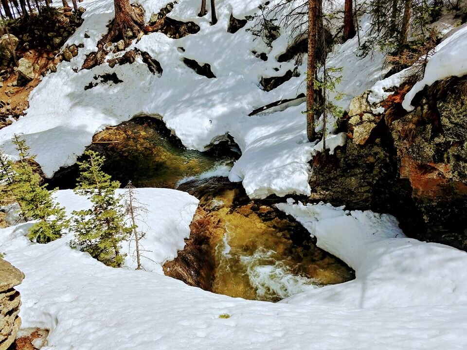
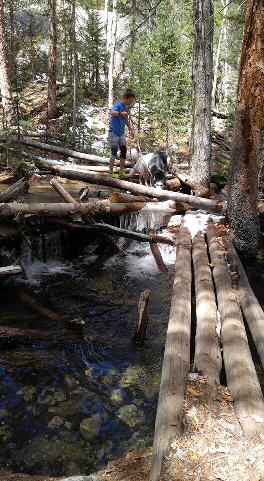
Hike Brown’s Creek Waterfall Trail
Brown’s Creek is a moderate level trail. It is extremely busy on weekend months. If there is any way you can hike this trail during the week, I’d recommend it! The trail is 6.2 miles long and has an elevation gain of 924 feet. Dogs and horses can use this trail. Parking at the trailhead can be limited. For more details on this hike check out these websites:
https://www.alltrails.com/trail/us/colorado/browns-creek-waterfall-trail/photos

Image from: https://freecampsites.net/#!10669&query=sitedetails
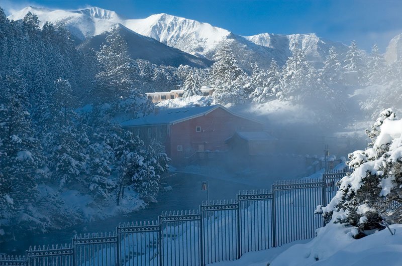
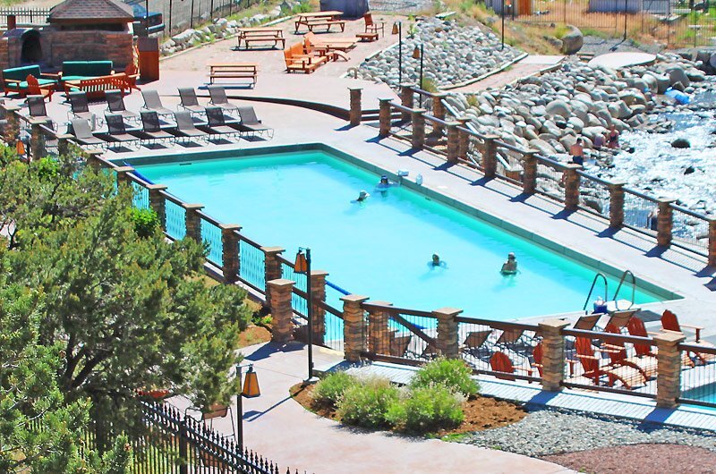
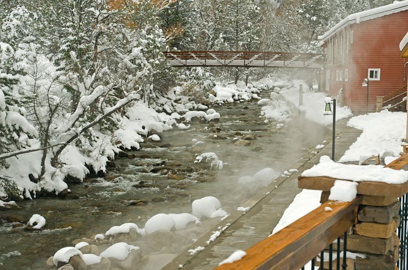
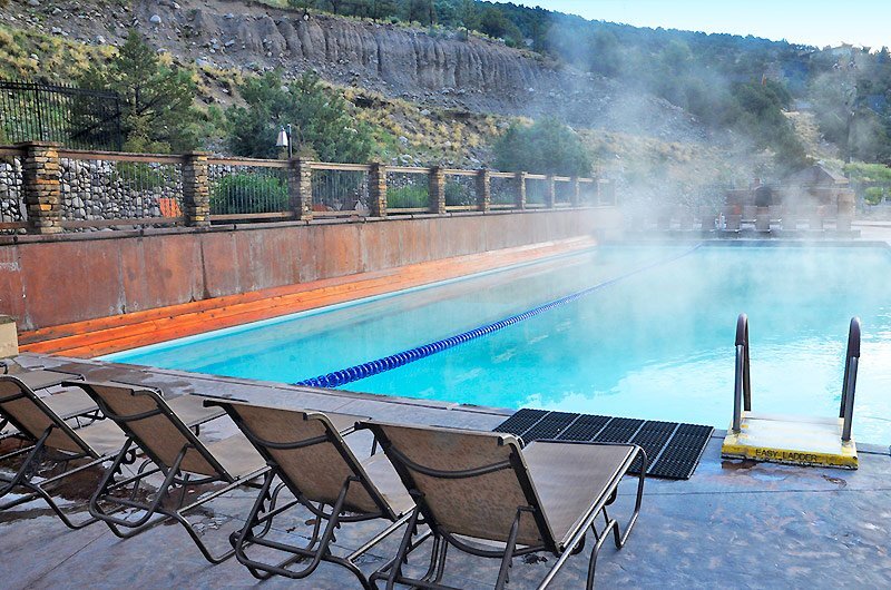
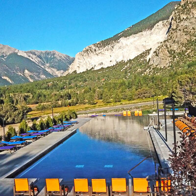
Visit Mount Princeton Hot Springs
We love Mount Princeton hot springs. It’s reasonably priced, clean, and feels great after a long day of hiking or dirt biking. Visit their website or read on for more details on rates and hours.
Address:
Mt. Princeton Hot Springs Resort
Local: 719-395-2447
15870 County Road 162
Nathrop, Colorado 81236-9703
Historic Bath House
Monday – Thursday 9AM-10PM
Adults - $20. Children - $15.
Friday – Sunday 9AM – 11PM
Adults - $25. Children - $20
400′ Water Slide
9AM – 6PM Memorial Day – Labor Day
Upper Pools are open to the public and are included with general admission
+ $5 Full Day Water Slide Pass
St. Elmo - Ghost Town

St. Elmo’s is touted as being the best-perserved ghost town in all of Colorado. The town was established in 1880 as ‘Forest City’. The name was later changed because other towns already had the same name. St. Elmo prospered alongside the Mary Murphy Mine. The town was a supply center for nearby mines and was a convenient stopping point for visitors passing through to Tincup, Alpine, and other close mountain passes. St. Elmo was a primary station on the Denver, South Park & Pacific RR starting in 1882 after the completion of the Alpine Tunnel. St. Elmo had a population of about 1,500 during its best years.
There were 5 hotels, a general store, a newspaper, and several other businesses in St. Elmo during the late 1800s. There was a large fire that damaged much of the city in 1890. 2 blocks of the business district were never rebuilt.
More bad news came for the residents of St. Elmo in 1910. The RR cut off service to St. Elmo following a cave-in in the Alpine Tunnel and low freight amounts. Service was officially cut off in 1926. By the 1950s there were only 2 people left living in St. Elmo: Tony and Anabelle Stark. The Stark’s operated a general store that still stands today. When the Stark’s passed, St. Elmo assumed the role of a ghost town.

By Dariusz Kowalczyk, CC BY-SA 3.0
Dirt bike or Off-road up Mount Princeton
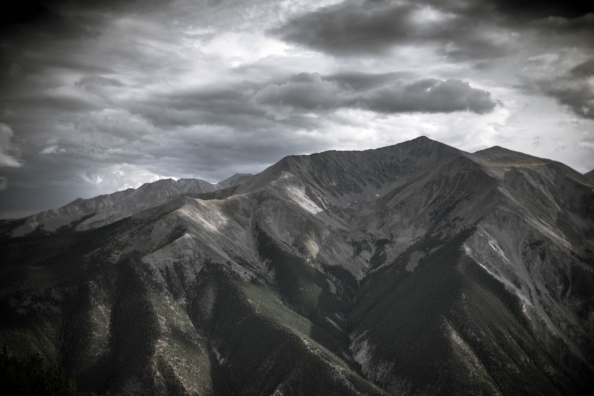
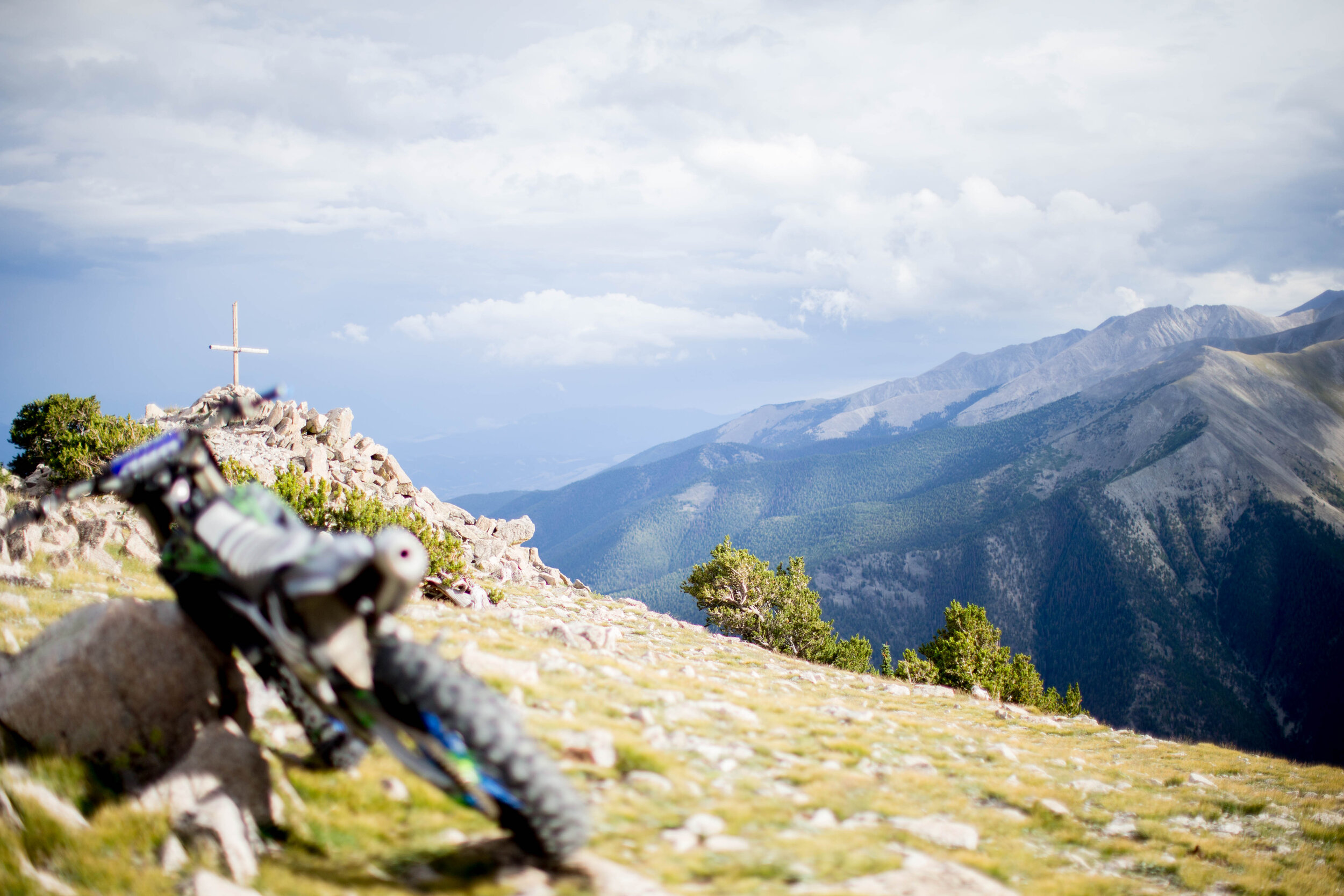
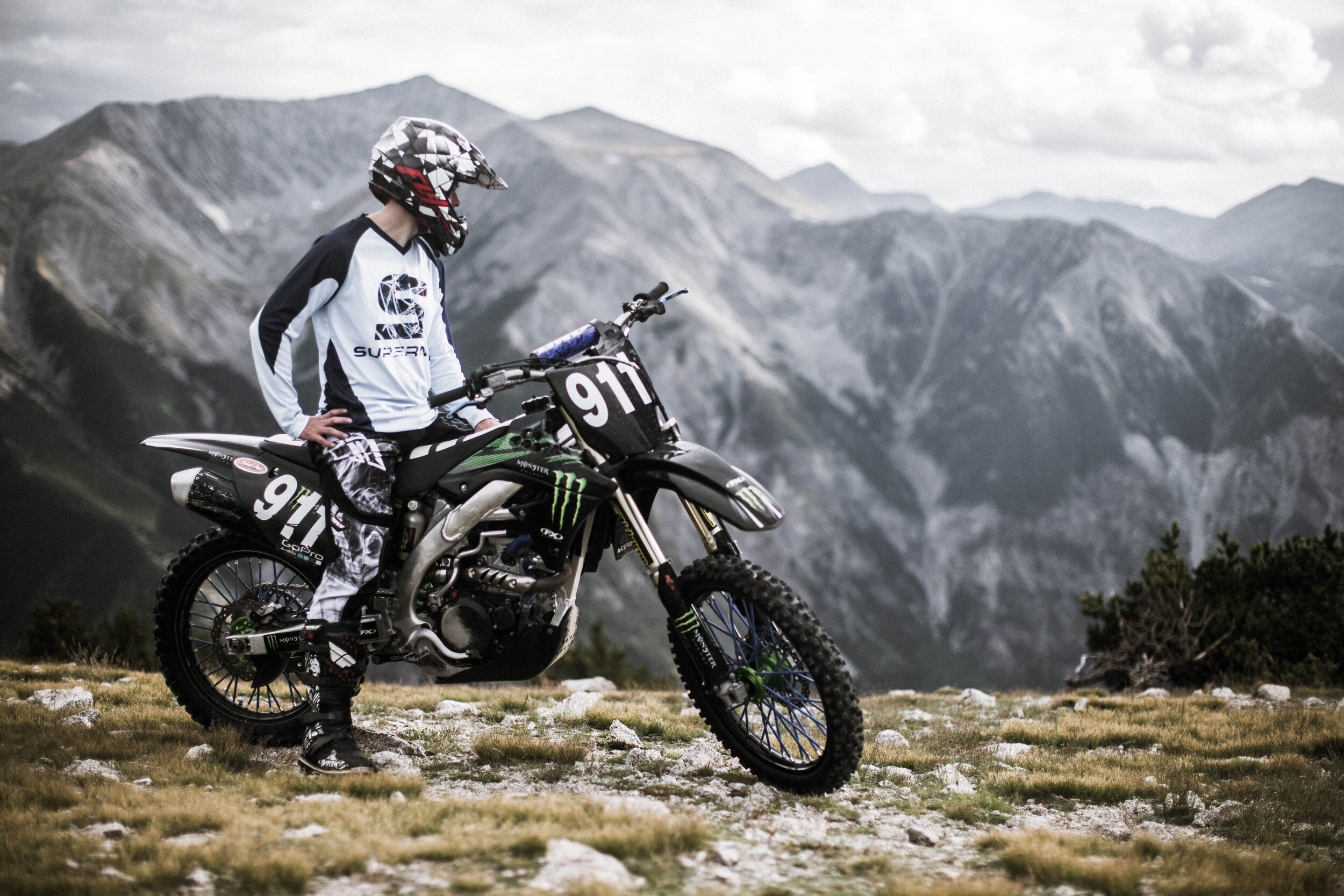

This is an easy trail and doesn’t take much time at all! The map below links to the trailhead. It does get busy in the summer months. There are fantastic views at the top.
TRAILHEAD:
38°44'23.9"N 106°10'31.4"W
Nathrop, CO 81236
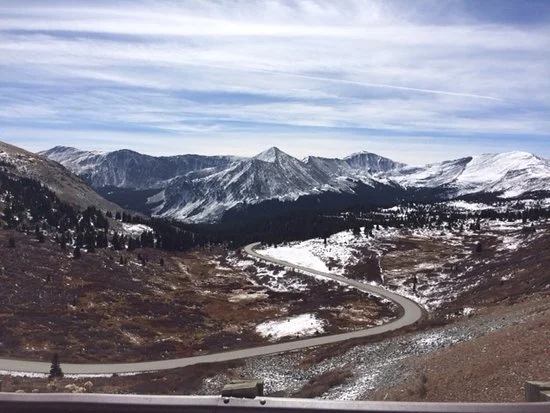
Drive Cottonwood Pass towards Taylor Park
Cottonwood Pass was recently converted to a paved road. I don’t believe you can take long trailers over the pass (not sure). It offers lovely high alpine views and is a quick way to get to Crested Butte or Taylor Park.